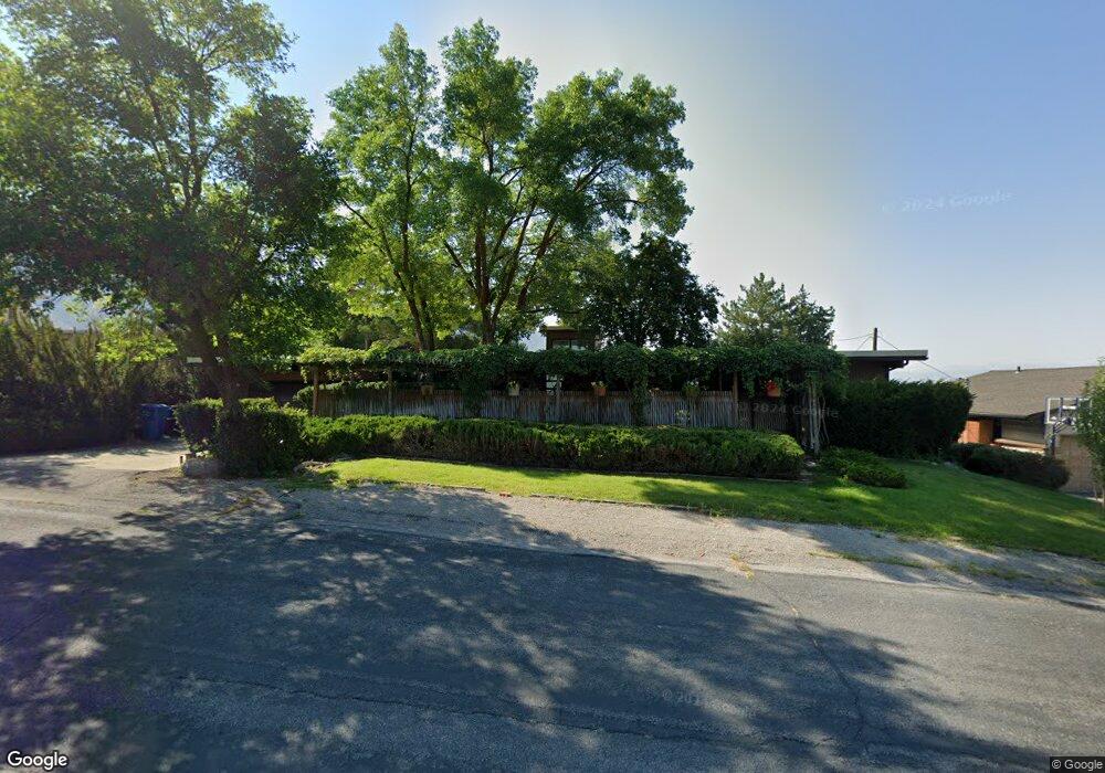
800 River Heights Blvd River Heights, UT 84321
Estimated Value: $685,993
4
Beds
3
Baths
2,996
Sq Ft
$229/Sq Ft
Est. Value
About This Home
This home is located at 800 River Heights Blvd, River Heights, UT 84321 and is currently estimated at $685,993, approximately $228 per square foot. 800 River Heights Blvd is a home located in Cache County with nearby schools including River Heights School, Spring Creek Middle School, and South Cache Middle School.
Ownership History
Date
Name
Owned For
Owner Type
Purchase Details
Closed on
Oct 17, 2024
Sold by
Michael And Mellanie Revocable Trust and Miller Michael B
Bought by
Bala Carrie and Bala Christopher
Current Estimated Value
Home Financials for this Owner
Home Financials are based on the most recent Mortgage that was taken out on this home.
Original Mortgage
$508,500
Outstanding Balance
$502,653
Interest Rate
6.35%
Mortgage Type
New Conventional
Estimated Equity
$183,340
Purchase Details
Closed on
Jun 19, 2019
Sold by
Miller Michael and Miller Mellanie
Bought by
Miller Michael B and Miller Mellanie D
Purchase Details
Closed on
May 10, 2018
Sold by
Wyse Bonita W
Bought by
Miller Michael and Miller Mellanie
Home Financials for this Owner
Home Financials are based on the most recent Mortgage that was taken out on this home.
Original Mortgage
$195,000
Interest Rate
4.44%
Mortgage Type
New Conventional
Create a Home Valuation Report for This Property
The Home Valuation Report is an in-depth analysis detailing your home's value as well as a comparison with similar homes in the area
Home Values in the Area
Average Home Value in this Area
Purchase History
| Date | Buyer | Sale Price | Title Company |
|---|---|---|---|
| Bala Carrie | -- | Hickman Land Title | |
| Miller Michael B | -- | None Available | |
| Miller Michael | -- | Hickman Land Title |
Source: Public Records
Mortgage History
| Date | Status | Borrower | Loan Amount |
|---|---|---|---|
| Open | Bala Carrie | $508,500 | |
| Previous Owner | Miller Michael | $195,000 |
Source: Public Records
Tax History Compared to Growth
Tax History
| Year | Tax Paid | Tax Assessment Tax Assessment Total Assessment is a certain percentage of the fair market value that is determined by local assessors to be the total taxable value of land and additions on the property. | Land | Improvement |
|---|---|---|---|---|
| 2025 | $2,426 | $370,620 | $0 | $0 |
| 2024 | $2,310 | $327,265 | $0 | $0 |
| 2023 | $2,437 | $323,740 | $0 | $0 |
| 2022 | $2,253 | $284,690 | $0 | $0 |
| 2021 | $2,132 | $413,400 | $66,000 | $347,400 |
| 2020 | $1,953 | $355,500 | $66,000 | $289,500 |
| 2019 | $2,043 | $352,504 | $66,000 | $286,504 |
| 2018 | $1,856 | $308,800 | $66,000 | $242,800 |
| 2017 | $1,218 | $105,710 | $0 | $0 |
| 2016 | $1,239 | $105,710 | $0 | $0 |
| 2015 | $1,240 | $105,710 | $0 | $0 |
| 2014 | $1,185 | $103,720 | $0 | $0 |
| 2013 | -- | $103,720 | $0 | $0 |
Source: Public Records
Map
Nearby Homes
- 821 S 525 E
- 27 W Spring Creek Pkwy
- 315 Mountain View Ln
- 23 Andrews Ln
- 11 Mountain View Ln
- 330 E 700 S
- 671 N 200 E
- 66 E Springs Ln
- 665 S 400 E
- 410 Cobblestone
- 201 E 580 N
- 76 E Springs Ln
- 374 N 100 W
- 500 750 E Unit 50
- 570 750 E Unit 38
- 560 750 E Unit 39
- 429 750 E Unit 25
- 540 750 E Unit 41
- 490 750 E Unit 51
- 493 750 E Unit 30