Estimated Value: $525,885
--
Bed
1
Bath
2,210
Sq Ft
$238/Sq Ft
Est. Value
About This Home
This home is located at 800 S Interstate Highway 45, Ennis, TX 75119 and is currently priced at $525,885, approximately $237 per square foot. 800 S Interstate Highway 45 is a home located in Ellis County with nearby schools including Travis Elementary School, Jack Lummus Intermediate School, and Ennis Junior High School.
Ownership History
Date
Name
Owned For
Owner Type
Purchase Details
Closed on
Feb 26, 2024
Sold by
Deleon Tomas and Deleon Griselda
Bought by
Tx Transportation Commission
Current Estimated Value
Purchase Details
Closed on
Oct 20, 2022
Sold by
Cedar Creations Usa Llc
Bought by
Deleon Tomas
Purchase Details
Closed on
May 19, 2021
Sold by
Moore Charles L and Moore Michael C
Bought by
Dean And Elliott Investments Llc
Create a Home Valuation Report for This Property
The Home Valuation Report is an in-depth analysis detailing your home's value as well as a comparison with similar homes in the area
Home Values in the Area
Average Home Value in this Area
Purchase History
| Date | Buyer | Sale Price | Title Company |
|---|---|---|---|
| Tx Transportation Commission | $60,980 | Fidelity National Title | |
| Deleon Tomas | $364,000 | None Listed On Document | |
| Dean And Elliott Investments Llc | -- | Lawyers Title |
Source: Public Records
Tax History Compared to Growth
Tax History
| Year | Tax Paid | Tax Assessment Tax Assessment Total Assessment is a certain percentage of the fair market value that is determined by local assessors to be the total taxable value of land and additions on the property. | Land | Improvement |
|---|---|---|---|---|
| 2025 | $12,417 | $672,520 | $334,663 | $337,857 |
| 2024 | $12,417 | $576,697 | $527,686 | $49,011 |
| 2023 | $12,417 | $586,937 | $527,686 | $59,251 |
| 2022 | $12,183 | $509,061 | $509,061 | $0 |
| 2021 | $9,490 | $376,970 | $217,190 | $159,780 |
| 2020 | $6,418 | $249,410 | $80,000 | $169,410 |
| 2019 | $3,330 | $127,090 | $0 | $0 |
| 2018 | $3,133 | $118,720 | $13,500 | $105,220 |
| 2017 | $3,113 | $117,350 | $11,700 | $105,650 |
| 2016 | $2,999 | $113,070 | $35,000 | $78,070 |
| 2015 | -- | $111,430 | $35,000 | $76,430 |
| 2014 | -- | $110,040 | $0 | $0 |
Source: Public Records
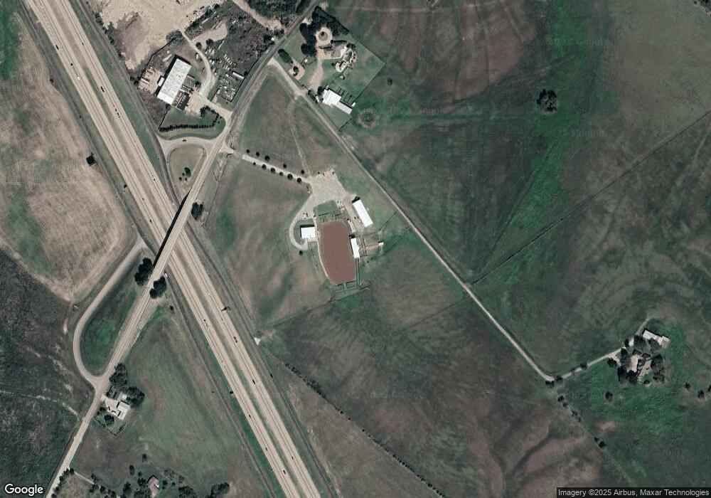
Map
Nearby Homes
- 917 Shady Oaks Dr
- 1005 E Burnett St
- 1003 E Burnett St
- 903 Sunrise Ave
- 1403 Creechville Rd
- 801 E Milam St
- 1603 Pacific Ave
- 85 Interstate 45
- 502 E Waco St
- 0 Old Telico Rd
- 304 E Waco St
- 705 E Denton St
- 0000 E Decatur St
- 0 E Denton St Unit 20761063
- TBD Alsdorf Rd Unit Lot 2
- 803 Barton Dr
- 1004 Barton Dr
- 2430 Dahlia Dr
- TBD Ensign Rd
- 807 Barton Dr