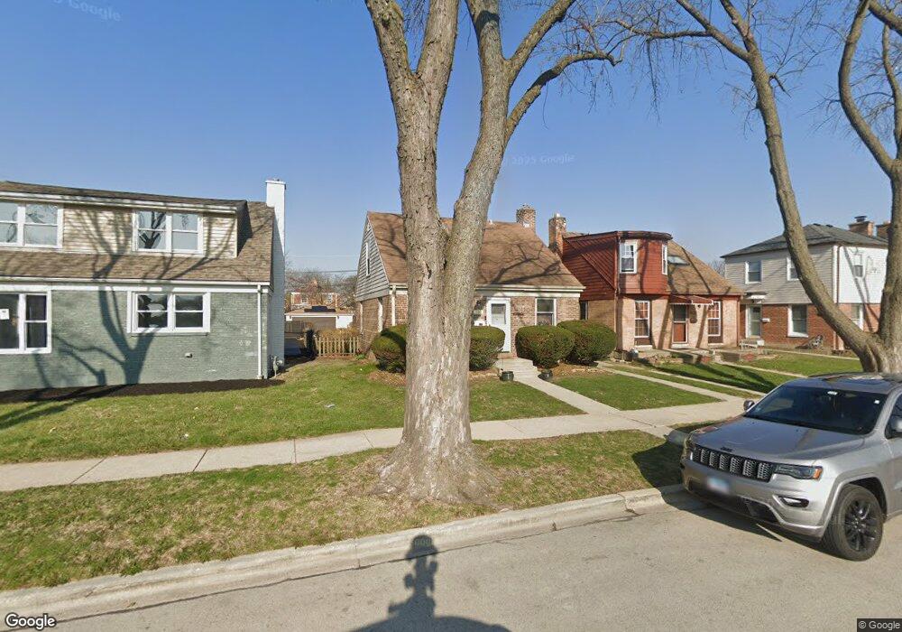
800 Suffolk Ave Westchester, IL 60154
Estimated Value: $215,000 - $280,000
2
Beds
1
Bath
778
Sq Ft
$315/Sq Ft
Est. Value
About This Home
This home is located at 800 Suffolk Ave, Westchester, IL 60154 and is currently estimated at $244,796, approximately $314 per square foot. 800 Suffolk Ave is a home located in Cook County with nearby schools including Westchester Primary School, Westchester Intermediate School, and Westchester Middle School.
Ownership History
Date
Name
Owned For
Owner Type
Purchase Details
Closed on
Aug 25, 2025
Sold by
Benjamin Peters Revocable Trust and Lawanda J Peters Revocable Trust
Bought by
Peters Debra M
Current Estimated Value
Purchase Details
Closed on
Mar 28, 2025
Sold by
Trust Number 1103864 and Chicago Title Land Trust Company
Bought by
Benjamin Peters Revocable Living Trust and Lawanda J Peters Revocable Living Trust
Create a Home Valuation Report for This Property
The Home Valuation Report is an in-depth analysis detailing your home's value as well as a comparison with similar homes in the area
Home Values in the Area
Average Home Value in this Area
Purchase History
| Date | Buyer | Sale Price | Title Company |
|---|---|---|---|
| Peters Debra M | -- | None Listed On Document | |
| Benjamin Peters Revocable Living Trust | -- | Chicago Title |
Source: Public Records
Tax History Compared to Growth
Tax History
| Year | Tax Paid | Tax Assessment Tax Assessment Total Assessment is a certain percentage of the fair market value that is determined by local assessors to be the total taxable value of land and additions on the property. | Land | Improvement |
|---|---|---|---|---|
| 2024 | $3,420 | $19,000 | $3,016 | $15,984 |
| 2023 | $3,031 | $19,000 | $3,016 | $15,984 |
| 2022 | $3,031 | $16,092 | $2,654 | $13,438 |
| 2021 | $2,982 | $16,091 | $2,654 | $13,437 |
| 2020 | $3,032 | $16,091 | $2,654 | $13,437 |
| 2019 | $1,998 | $13,244 | $2,413 | $10,831 |
| 2018 | $1,968 | $13,244 | $2,413 | $10,831 |
| 2017 | $1,960 | $13,244 | $2,413 | $10,831 |
| 2016 | $1,952 | $10,974 | $2,171 | $8,803 |
| 2015 | $1,865 | $10,974 | $2,171 | $8,803 |
| 2014 | $1,848 | $10,974 | $2,171 | $8,803 |
| 2013 | $2,181 | $13,184 | $2,171 | $11,013 |
Source: Public Records
Map
Nearby Homes
- 814 Norfolk Ave
- 805 Norfolk Ave
- 920 Suffolk Ave
- 626 Manchester Ave
- 750 Bristol Ave
- 923 Manchester Ave
- 1119 Newcastle Ave
- 723 Balmoral Ave
- 1108 31st Ave
- 1102 31st Ave
- 1136 Park Place
- 1034 31st Ave
- 1023 Rice Ave
- 1022 Eastern Ave
- 10072 Drury Ln
- 1035 Bohland Ave
- 1102 Marshall Ave
- 1013 Bellwood Ave
- 3401 Jackson St
- 3500 Adams St
- 764 Suffolk Ave
- 760 Suffolk Ave
- 810 Suffolk Ave
- 756 Suffolk Ave
- 814 Suffolk Ave
- 803 Portsmouth Ave
- 801 Portsmouth Ave
- 807 Portsmouth Ave
- 816 Suffolk Ave
- 752 Suffolk Ave
- 763 Portsmouth Ave
- 811 Portsmouth Ave
- 759 Portsmouth Ave
- 815 Portsmouth Ave
- 820 Suffolk Ave
- 750 Suffolk Ave
- 755 Portsmouth Ave
- 817 Portsmouth Ave
- 753 Portsmouth Ave
- 824 Suffolk Ave