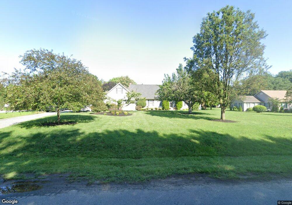
800 Truslow Rd Chestertown, MD 21620
Kingstown NeighborhoodEstimated Value: $528,000 - $616,000
--
Bed
2
Baths
2,968
Sq Ft
$192/Sq Ft
Est. Value
About This Home
This home is located at 800 Truslow Rd, Chestertown, MD 21620 and is currently estimated at $570,556, approximately $192 per square foot. 800 Truslow Rd is a home located in Queen Anne's County with nearby schools including Church Hill Elementary School, Sudlersville Middle School, and Queen Anne's County High School.
Ownership History
Date
Name
Owned For
Owner Type
Purchase Details
Closed on
Feb 5, 2008
Sold by
Simpkins Roger W
Bought by
Harrison Ray and Harrison Anna M
Current Estimated Value
Purchase Details
Closed on
Jan 31, 2008
Sold by
Simpkins Roger W
Bought by
Harrison Ray and Harrison Anna M
Purchase Details
Closed on
Jun 28, 1995
Sold by
Dixon Clarence W
Bought by
Simpkins Roger W
Purchase Details
Closed on
Apr 3, 1989
Sold by
Coleman Donald B and Coleman Clara E
Bought by
Dixon Clarence W and Dixon Hilda L
Create a Home Valuation Report for This Property
The Home Valuation Report is an in-depth analysis detailing your home's value as well as a comparison with similar homes in the area
Home Values in the Area
Average Home Value in this Area
Purchase History
| Date | Buyer | Sale Price | Title Company |
|---|---|---|---|
| Harrison Ray | $335,000 | -- | |
| Harrison Ray | $335,000 | -- | |
| Simpkins Roger W | $189,000 | -- | |
| Dixon Clarence W | $30,000 | -- |
Source: Public Records
Mortgage History
| Date | Status | Borrower | Loan Amount |
|---|---|---|---|
| Closed | Harrison Ray | -- |
Source: Public Records
Tax History Compared to Growth
Tax History
| Year | Tax Paid | Tax Assessment Tax Assessment Total Assessment is a certain percentage of the fair market value that is determined by local assessors to be the total taxable value of land and additions on the property. | Land | Improvement |
|---|---|---|---|---|
| 2025 | $3,631 | $495,600 | $90,000 | $405,600 |
| 2024 | $3,631 | $455,900 | $0 | $0 |
| 2023 | $3,438 | $416,200 | $0 | $0 |
| 2022 | $3,258 | $376,500 | $85,000 | $291,500 |
| 2021 | $2,986 | $347,300 | $0 | $0 |
| 2020 | $2,986 | $318,100 | $0 | $0 |
| 2019 | $2,831 | $288,900 | $75,000 | $213,900 |
| 2018 | $2,831 | $288,900 | $75,000 | $213,900 |
| 2017 | $2,831 | $288,900 | $0 | $0 |
| 2016 | -- | $292,900 | $0 | $0 |
| 2015 | $1,455 | $292,900 | $0 | $0 |
| 2014 | $1,455 | $292,900 | $0 | $0 |
Source: Public Records
Map
Nearby Homes
- 201 Boundary Ave
- 108 Primrose Rd
- 136 Truslow Farm Ln
- 0 Little Harbor Way Unit 1 MDKE2004992
- 118 Little Harbor Way Unit 201
- 212 Landing Ln
- 7989 Quaker Neck Rd
- 7961 Quaker Neck Rd
- 103 Landing Ln
- 221 Old Bridge Rd
- 226 S Water St
- 25800 Collins Ave
- 206 S Water St
- 0 East St
- 105 High St
- 119 High St
- 225 Duke of Kent St
- 206 Cannon St
- 117 N Water St Unit 1A
- 117 N Water St Unit 2A