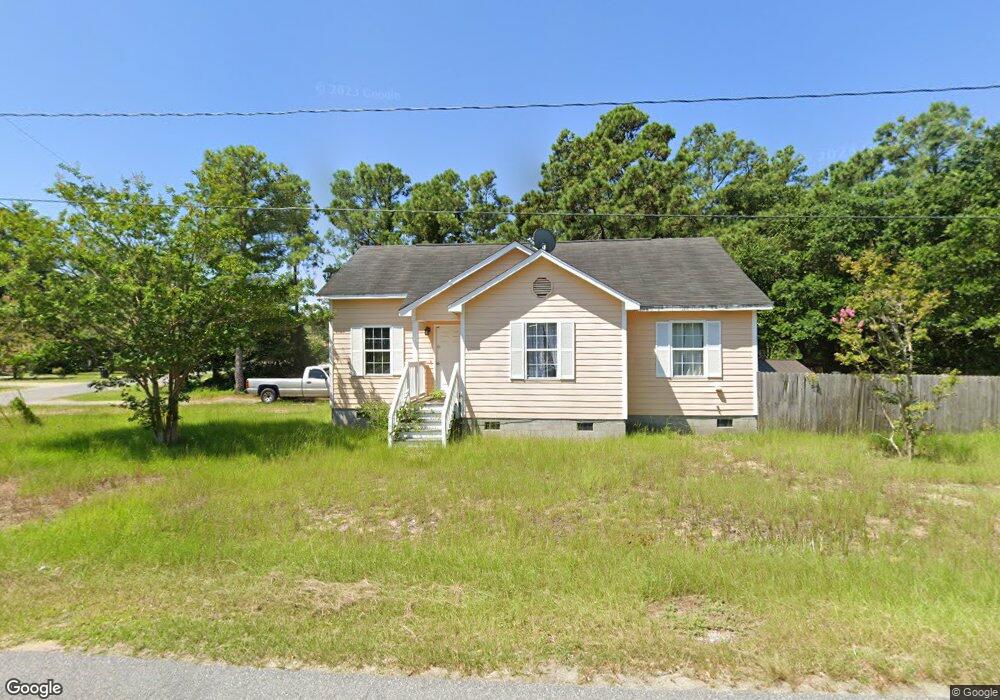
800 W Airstrip Rd Unit 4 Kill Devil Hills, NC 27948
Estimated Value: $397,000 - $493,000
3
Beds
2
Baths
1,197
Sq Ft
$364/Sq Ft
Est. Value
About This Home
This home is located at 800 W Airstrip Rd Unit 4, Kill Devil Hills, NC 27948 and is currently estimated at $436,057, approximately $364 per square foot. 800 W Airstrip Rd Unit 4 is a home located in Dare County with nearby schools including First Flight Elementary School, First Flight Middle School, and First Flight High School.
Ownership History
Date
Name
Owned For
Owner Type
Purchase Details
Closed on
Feb 20, 2013
Sold by
Siegel David J
Bought by
Us Bank Na
Current Estimated Value
Purchase Details
Closed on
Sep 13, 2006
Sold by
Merell Ronald I and Merrell Patti Locklear
Bought by
Siegel David
Home Financials for this Owner
Home Financials are based on the most recent Mortgage that was taken out on this home.
Original Mortgage
$292,500
Interest Rate
10.99%
Mortgage Type
Adjustable Rate Mortgage/ARM
Create a Home Valuation Report for This Property
The Home Valuation Report is an in-depth analysis detailing your home's value as well as a comparison with similar homes in the area
Home Values in the Area
Average Home Value in this Area
Purchase History
| Date | Buyer | Sale Price | Title Company |
|---|---|---|---|
| Us Bank Na | $139,522 | None Available | |
| Siegel David | $325,000 | None Available |
Source: Public Records
Mortgage History
| Date | Status | Borrower | Loan Amount |
|---|---|---|---|
| Previous Owner | Siegel David | $292,500 |
Source: Public Records
Tax History Compared to Growth
Tax History
| Year | Tax Paid | Tax Assessment Tax Assessment Total Assessment is a certain percentage of the fair market value that is determined by local assessors to be the total taxable value of land and additions on the property. | Land | Improvement |
|---|---|---|---|---|
| 2025 | $2,183 | $401,800 | $179,400 | $222,400 |
| 2024 | $1,859 | $246,000 | $87,100 | $158,900 |
| 2023 | $1,859 | $246,000 | $87,100 | $158,900 |
| 2022 | $1,772 | $246,000 | $87,100 | $158,900 |
| 2021 | $1,772 | $246,000 | $87,100 | $158,900 |
| 2020 | $1,772 | $246,000 | $87,100 | $158,900 |
| 2019 | $1,644 | $189,000 | $68,200 | $120,800 |
| 2018 | $1,608 | $189,000 | $68,200 | $120,800 |
| 2017 | $1,608 | $189,000 | $68,200 | $120,800 |
| 2016 | $1,533 | $189,000 | $68,200 | $120,800 |
| 2014 | $1,476 | $189,000 | $68,200 | $120,800 |
Source: Public Records
Map
Nearby Homes
- 0 10th Ave Unit Lot 2R 130569
- 0 W Martin St
- 1208 Swan St Unit 2
- 1208 Swan St Unit 1
- 1208 Swan St Unit 5
- 1208 Swan St Unit 4
- 1302 Theodore St Unit Lot 2
- 803 6th Ave Unit Lot 9
- 302 W Clark St Unit Lot 6
- 1410 Hill St Unit 6
- 205 W Atlantic St Unit Lot 3
- 1401 Goldie St
- 0 W Boundary St Unit Lot 1-R 130568
- 200 Quail Ln Unit Lot
- 1209 Wrightsville Blvd Unit Lot 26
- 200 E Martin St Unit 304
- 200 E Martin St Unit 202
- 520 W Ocean Acres Dr Unit Lot 36
- 301 W Ocean Acres Dr
- 503 Copley Dr Unit Lot 13
- 800 W Airstrip Rd
- 1004 8th Ave
- 804 W Airstrip Rd
- 706 W Airstrip Rd
- 1005 9th Ave
- 806 W Airstrip Rd
- 704 W Airstrip Rd
- 1003 9th Ave Unit 9
- 1003 9th Ave
- 803 W Airstrip Rd Unit 5
- 803 W Airstrip Rd
- 1005 8th Ave
- 1000 8th Ave
- 703 W Airstrip Rd
- 1003 8th Ave
- 702 W Airstrip Rd
- 1002 9th Ave
- 1001 8th Ave
- 701B W Airstrip Rd
- 1004 7th Ave