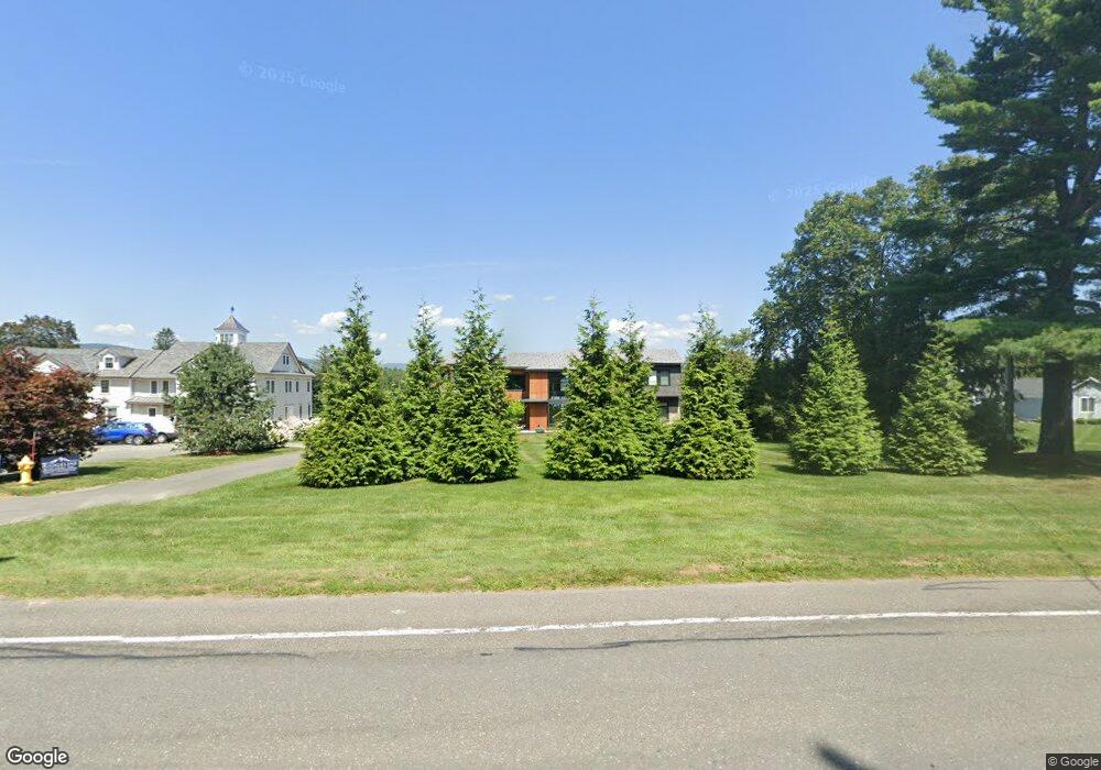
800 West St Pittsfield, MA 01201
Estimated Value: $1,711,000 - $2,459,000
4
Beds
3
Baths
5,775
Sq Ft
$370/Sq Ft
Est. Value
About This Home
This home is located at 800 West St, Pittsfield, MA 01201 and is currently estimated at $2,135,870, approximately $369 per square foot. 800 West St is a home located in Berkshire County with nearby schools including Crosby Elementary School, John T. Reid Middle School, and Taconic High School.
Ownership History
Date
Name
Owned For
Owner Type
Purchase Details
Closed on
Aug 26, 1996
Sold by
Drg Nt and Grody Donald R
Bought by
Caparelli William D and Caparelli Georgette J
Current Estimated Value
Home Financials for this Owner
Home Financials are based on the most recent Mortgage that was taken out on this home.
Original Mortgage
$200,000
Outstanding Balance
$17,479
Interest Rate
8.4%
Mortgage Type
Purchase Money Mortgage
Estimated Equity
$2,118,391
Create a Home Valuation Report for This Property
The Home Valuation Report is an in-depth analysis detailing your home's value as well as a comparison with similar homes in the area
Home Values in the Area
Average Home Value in this Area
Purchase History
| Date | Buyer | Sale Price | Title Company |
|---|---|---|---|
| Caparelli William D | $496,000 | -- |
Source: Public Records
Mortgage History
| Date | Status | Borrower | Loan Amount |
|---|---|---|---|
| Open | Caparelli William D | $200,000 |
Source: Public Records
Tax History Compared to Growth
Tax History
| Year | Tax Paid | Tax Assessment Tax Assessment Total Assessment is a certain percentage of the fair market value that is determined by local assessors to be the total taxable value of land and additions on the property. | Land | Improvement |
|---|---|---|---|---|
| 2025 | $35,570 | $1,982,700 | $765,400 | $1,217,300 |
| 2024 | $30,562 | $1,656,500 | $718,300 | $938,200 |
| 2023 | $26,569 | $1,450,300 | $718,300 | $732,000 |
| 2022 | $25,147 | $1,354,900 | $718,300 | $636,600 |
| 2021 | $23,803 | $1,236,500 | $718,300 | $518,200 |
| 2020 | $24,028 | $1,219,100 | $718,300 | $500,800 |
| 2019 | $23,733 | $1,222,100 | $718,300 | $503,800 |
| 2018 | $24,192 | $1,209,000 | $718,300 | $490,700 |
| 2017 | $23,666 | $1,205,600 | $718,300 | $487,300 |
| 2016 | $23,049 | $1,228,600 | $718,300 | $510,300 |
| 2015 | $22,189 | $1,228,600 | $718,300 | $510,300 |
Source: Public Records
Map
Nearby Homes
- 36 Roberta Rd
- 61 Tor Ct
- 2 Amy Ct Unit 2
- 149 Fort Hill Ave
- 208 Jason St
- 122 Blythewood Dr
- 40 Churchill St
- 47 Gale Ave
- 26 Churchill Crest
- 46 Churchill Crest Unit 46
- 44 Churchill Crest Unit 44
- 51 Churchill Crest Unit 51
- Lot #112 Cadwell Rd
- 15 Atlantic Ave
- 43 Merriam St
- 14 Summit Ave
- 20 Greenway St
- 151 Onota St
- 24 Lebanon Ave
- 245 Onota St