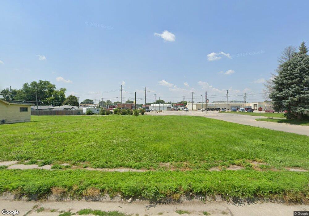
800 Wood St Norfolk, NE 68701
Estimated Value: $49,000 - $296,000
--
Bed
--
Bath
--
Sq Ft
6,360
Sq Ft Lot
About This Home
This home is located at 800 Wood St, Norfolk, NE 68701 and is currently estimated at $134,000. 800 Wood St is a home located in Madison County with nearby schools including Norfolk Senior High School, Christ Lutheran School, and Keystone Christian Academy.
Ownership History
Date
Name
Owned For
Owner Type
Purchase Details
Closed on
Jul 2, 2025
Sold by
Voecks Levi M and Voecks Kylie J
Bought by
Cedar Ridge Proportios Llc
Current Estimated Value
Purchase Details
Closed on
Nov 21, 2022
Sold by
Kv Rentals Llc
Bought by
Voecks Levi M and Voecks Kylie
Purchase Details
Closed on
Nov 15, 2013
Sold by
Eagle Ridge Management Llc
Bought by
Voecks Kevin
Home Financials for this Owner
Home Financials are based on the most recent Mortgage that was taken out on this home.
Original Mortgage
$20,000
Interest Rate
4.34%
Mortgage Type
Future Advance Clause Open End Mortgage
Create a Home Valuation Report for This Property
The Home Valuation Report is an in-depth analysis detailing your home's value as well as a comparison with similar homes in the area
Home Values in the Area
Average Home Value in this Area
Purchase History
| Date | Buyer | Sale Price | Title Company |
|---|---|---|---|
| Cedar Ridge Proportios Llc | -- | None Listed On Document | |
| Cedar Ridge Proportios Llc | -- | None Listed On Document | |
| Voecks Levi M | $40,000 | Ne Nebraska Title | |
| Voecks Kevin | $1,600 | American Title & Escrow |
Source: Public Records
Mortgage History
| Date | Status | Borrower | Loan Amount |
|---|---|---|---|
| Previous Owner | Voecks Kevin | $20,000 |
Source: Public Records
Tax History Compared to Growth
Tax History
| Year | Tax Paid | Tax Assessment Tax Assessment Total Assessment is a certain percentage of the fair market value that is determined by local assessors to be the total taxable value of land and additions on the property. | Land | Improvement |
|---|---|---|---|---|
| 2024 | $92 | $7,583 | $7,583 | $0 |
| 2023 | $140 | $7,583 | $7,583 | $0 |
| 2022 | $141 | $7,583 | $7,583 | $0 |
| 2021 | $140 | $7,583 | $7,583 | $0 |
| 2020 | $140 | $7,583 | $7,583 | $0 |
| 2019 | $145 | $7,583 | $7,583 | $0 |
| 2018 | $114 | $6,066 | $6,066 | $0 |
| 2017 | $114 | $6,066 | $6,066 | $0 |
| 2016 | $114 | $6,066 | $6,066 | $0 |
| 2015 | $114 | $6,066 | $6,066 | $0 |
| 2014 | $118 | $6,066 | $6,066 | $0 |
| 2013 | -- | $6,066 | $6,066 | $0 |
Source: Public Records
Map
Nearby Homes
- 3307 W Michigan Ave
- 3206 W Michigan Ave
- 3205 W Michigan Ave
- 3306 W Michigan Ave
- 1104 Southern Dr
- 706 Columbia St
- 103 S 13th Place
- 809 S 14th St
- 705 S 10th St
- 602 S 10th St
- 404 S 12th St
- 1312 Hayes Ave
- 1313 W Park Ave
- 2300 Taylor Ave
- 2308 Taylor Ave
- 918 S 5th St
- See Legal
- 1208 W Phillip Ave
- 805 S 5th St
- 213 S 9th St