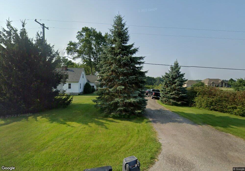
8000 E Curtis Rd Frankenmuth, MI 48734
Estimated Value: $816,000 - $863,790
Studio
1
Bath
4,146
Sq Ft
$201/Sq Ft
Est. Value
About This Home
This home is located at 8000 E Curtis Rd, Frankenmuth, MI 48734 and is currently estimated at $832,263, approximately $200 per square foot. 8000 E Curtis Rd is a home located in Saginaw County with nearby schools including List Elementary, E.F. Rittmueller Middle School, and Frankenmuth High School.
Ownership History
Date
Name
Owned For
Owner Type
Purchase Details
Closed on
Jun 10, 2009
Sold by
Bridgeport Holdings Llc
Bought by
Martin Edward L and Martin Linda A
Current Estimated Value
Purchase Details
Closed on
Nov 21, 2008
Sold by
Berger, David A & Dorena J Trust
Bought by
Bridgeport Holdings Llc
Purchase Details
Closed on
Mar 9, 2007
Sold by
Berger David A and Berger Dorena J
Bought by
Bridgeport Holdings Llc
Create a Home Valuation Report for This Property
The Home Valuation Report is an in-depth analysis detailing your home's value as well as a comparison with similar homes in the area
Purchase History
| Date | Buyer | Sale Price | Title Company |
|---|---|---|---|
| Martin Edward L | -- | -- | |
| Bridgeport Holdings Llc | $125,000 | -- | |
| Bridgeport Holdings Llc | $125,000 | -- |
Source: Public Records
Tax History Compared to Growth
Tax History
| Year | Tax Paid | Tax Assessment Tax Assessment Total Assessment is a certain percentage of the fair market value that is determined by local assessors to be the total taxable value of land and additions on the property. | Land | Improvement |
|---|---|---|---|---|
| 2025 | $3,716 | $433,600 | $0 | $0 |
| 2024 | $3,604 | $409,000 | $0 | $0 |
| 2023 | $3,433 | $355,300 | $0 | $0 |
| 2022 | $9,992 | $347,700 | $0 | $0 |
| 2021 | $9,140 | $331,200 | $0 | $0 |
| 2020 | $8,936 | $325,100 | $0 | $0 |
| 2019 | $8,515 | $292,600 | $0 | $0 |
| 2018 | $2,993 | $277,500 | $0 | $0 |
| 2017 | $7,682 | $289,700 | $0 | $0 |
| 2016 | $7,642 | $275,200 | $0 | $0 |
| 2014 | -- | $267,700 | $0 | $252,700 |
| 2013 | -- | $272,100 | $0 | $0 |
Source: Public Records
Map
Nearby Homes
- 7620 Maple Rd
- 0 W Tuscola Rd Unit 50182343
- 5 Mission Ridge
- 12 Wilshire Dr
- 2 Wilshire Dr Unit A4
- 000 W Tuscola St
- 10 Harlan Ct
- 640 Heine St
- 68 Pine Grove Dr
- 226 List St
- 249 Churchgrove Rd
- 456 Groveland Dr
- 622 W Schleier St
- 11 Cambridge Park
- 11086 N Evergreen Dr
- 235 Cherry St
- 405 Nickless St
- 1 Sunburst Ct
- 10487 Roedel Rd
- 4705 Weiss Rd
- 8000 E Curtis Rd
- 8000 E Curtis Rd
- 7262 S Beyer Rd
- 7275 S Beyer Rd
- 7299 S Beyer Rd
- 7251 S Beyer Rd
- 7319 S Beyer Rd
- 7319 S Beyer Rd
- 9025 Ronrick Place
- 7290 W Ronrick Place
- 7270 W Ronrick Place
- 7320 W Ronrick Place
- 9030 Ronrick Place
- 7248 W Ronrick Place
- 7170 S Beyer Rd
- 7324 W Ronrick Place
- 7000 S Beyer Rd
- 7000 S Beyer Rd
- 9075 Ronrick Place
- 7401 S Beyer Rd