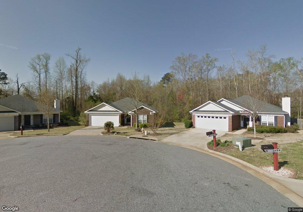
8001 Silverado Dr Columbus, GA 31909
Midland NeighborhoodEstimated Value: $239,350 - $257,000
3
Beds
2
Baths
1,492
Sq Ft
$165/Sq Ft
Est. Value
About This Home
This home is located at 8001 Silverado Dr, Columbus, GA 31909 and is currently estimated at $246,588, approximately $165 per square foot. 8001 Silverado Dr is a home located in Muscogee County with nearby schools including Midland Academy, Blackmon Road Middle School, and Shaw High School.
Ownership History
Date
Name
Owned For
Owner Type
Purchase Details
Closed on
Nov 16, 2020
Sold by
Walker Joseph
Bought by
Mcrae Scott Ashley
Current Estimated Value
Home Financials for this Owner
Home Financials are based on the most recent Mortgage that was taken out on this home.
Original Mortgage
$128,000
Outstanding Balance
$113,244
Interest Rate
2.8%
Mortgage Type
New Conventional
Estimated Equity
$133,344
Create a Home Valuation Report for This Property
The Home Valuation Report is an in-depth analysis detailing your home's value as well as a comparison with similar homes in the area
Home Values in the Area
Average Home Value in this Area
Purchase History
| Date | Buyer | Sale Price | Title Company |
|---|---|---|---|
| Mcrae Scott Ashley | -- | -- |
Source: Public Records
Mortgage History
| Date | Status | Borrower | Loan Amount |
|---|---|---|---|
| Open | Mcrae Scott Ashley | $128,000 |
Source: Public Records
Tax History Compared to Growth
Tax History
| Year | Tax Paid | Tax Assessment Tax Assessment Total Assessment is a certain percentage of the fair market value that is determined by local assessors to be the total taxable value of land and additions on the property. | Land | Improvement |
|---|---|---|---|---|
| 2025 | $3,155 | $80,588 | $13,452 | $67,136 |
| 2024 | $3,155 | $80,588 | $13,452 | $67,136 |
| 2023 | $3,174 | $80,588 | $13,452 | $67,136 |
| 2022 | $2,732 | $66,904 | $13,452 | $53,452 |
| 2021 | $2,732 | $66,904 | $13,452 | $53,452 |
| 2020 | $2,402 | $58,824 | $13,452 | $45,372 |
| 2019 | $2,410 | $58,824 | $13,452 | $45,372 |
| 2018 | $2,410 | $58,824 | $13,452 | $45,372 |
| 2017 | $2,418 | $58,824 | $13,452 | $45,372 |
| 2016 | $2,955 | $71,640 | $12,800 | $58,840 |
| 2015 | $2,959 | $71,640 | $12,800 | $58,840 |
| 2014 | $2,962 | $71,640 | $12,800 | $58,840 |
| 2013 | -- | $71,640 | $12,800 | $58,840 |
Source: Public Records
Map
Nearby Homes
- 8095 Santee Ct
- 8042 Sonoma Pointe Dr
- 7389 Sorrel Ct
- 7076 Stoneybrook Dr
- 6036 Townes Way
- 7056 Stoneybrook Dr
- 7020 Stoneridge Cir
- 7168 Pinewood Ct
- 5135 Midland Trace
- 5110 Midland Trace
- 7113 Pinewood Ct
- 6528 Yellow Stone Ct
- 209 Plum Ct
- 6454 Patriot Dr
- 7807 Kolven Cove
- 6222 Goodwin Dr
- 7193 Secretariet Dr
- 5041 Montego Dr
- 7847 Kolven Cove
- 5042 Foxfire Dr
- 8005 Silverado Dr
- 8000 Silverado Dr
- 8009 Silverado Dr
- 8004 Silverado Dr
- 8013 Silverado Dr
- 8008 Silverado Dr
- 629 Sonoma Ct
- 8017 Silverado Dr
- 633 Sonoma Ct
- 8031 Santee Ct
- 8027 Santee Ct
- 8035 Santee Ct
- 8023 Santee Ct
- 8019 Santee Ct
- 8039 Santee Ct
- 625 Sonoma Ct
- 8018 Silverado Dr
- 8021 Silverado Dr
- 8015 Santee Ct
- 624 Sonoma Ct