8001 SW 56th St Denton, NE 68339
Estimated Value: $645,000 - $782,000
3
Beds
3
Baths
2,995
Sq Ft
$232/Sq Ft
Est. Value
About This Home
This home is located at 8001 SW 56th St, Denton, NE 68339 and is currently estimated at $696,295, approximately $232 per square foot. 8001 SW 56th St is a home located in Lancaster County with nearby schools including Adams Elementary School, Scott Middle School, and Southwest High School.
Ownership History
Date
Name
Owned For
Owner Type
Purchase Details
Closed on
May 29, 2003
Sold by
Fraas Geraldine K
Bought by
Olson Terry M and Olson Deborah L
Current Estimated Value
Home Financials for this Owner
Home Financials are based on the most recent Mortgage that was taken out on this home.
Original Mortgage
$148,400
Outstanding Balance
$64,498
Interest Rate
5.79%
Mortgage Type
Unknown
Estimated Equity
$631,798
Create a Home Valuation Report for This Property
The Home Valuation Report is an in-depth analysis detailing your home's value as well as a comparison with similar homes in the area
Home Values in the Area
Average Home Value in this Area
Purchase History
| Date | Buyer | Sale Price | Title Company |
|---|---|---|---|
| Olson Terry M | $186,000 | -- |
Source: Public Records
Mortgage History
| Date | Status | Borrower | Loan Amount |
|---|---|---|---|
| Open | Olson Terry M | $148,400 |
Source: Public Records
Tax History Compared to Growth
Tax History
| Year | Tax Paid | Tax Assessment Tax Assessment Total Assessment is a certain percentage of the fair market value that is determined by local assessors to be the total taxable value of land and additions on the property. | Land | Improvement |
|---|---|---|---|---|
| 2025 | $5,676 | $604,500 | $161,700 | $442,800 |
| 2024 | $5,676 | $513,900 | $161,700 | $352,200 |
| 2023 | $7,007 | $498,900 | $161,700 | $337,200 |
| 2022 | $6,557 | $382,400 | $108,000 | $274,400 |
| 2021 | $6,146 | $382,400 | $108,000 | $274,400 |
| 2020 | $5,658 | $344,400 | $108,000 | $236,400 |
| 2019 | $5,697 | $344,400 | $108,000 | $236,400 |
| 2018 | $5,036 | $302,500 | $96,000 | $206,500 |
| 2017 | $5,082 | $302,500 | $96,000 | $206,500 |
| 2016 | $4,370 | $260,500 | $78,000 | $182,500 |
| 2015 | $4,378 | $260,500 | $78,000 | $182,500 |
| 2014 | $3,942 | $231,600 | $54,000 | $177,600 |
| 2013 | -- | $231,600 | $54,000 | $177,600 |
Source: Public Records
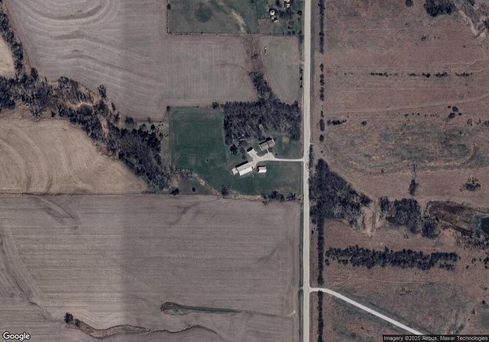
Map
Nearby Homes
- 4701 W Deercrest Dr
- B3 L3 SW 49th St
- B3 L4 SW 49th St
- TBD SW 33rd St
- 3120 W Covered Bridge Dr
- 7701 SW Muskie Ln
- 10301 SW 40th St
- 6301 SW 34th St
- 6910 W Old Cheney Rd
- 2601 W Ridgewood Blvd
- 8200 SW 24th St
- 7145 SW 91st St
- 5800 SW Catalina St
- Dakota Plan at Denton Estates
- Navajo Plan at Denton Estates
- Vail Plan at Denton Estates
- Vista II Plan at Denton Estates
- Mesa Plan at Denton Estates
- Breckenridge Plan at Denton Estates
- Vista Plan at Denton Estates
- 7779 SW 56th St
- 5700 W Yankee Lake Rd
- 7731 SW 56th St
- 7600 SW 60th St
- 0 SW 61st & Yankee Hill Rd Unit 10142581
- 5601 W Yankee Lake Rd
- 61 SW Yankee Hill Rd
- 0 SW 61 & Yankee Hill Rd Unit 10149728
- 0 SW 61 & Yankee Hill Rd Unit 10147416
- 5701 W Yankee Lake Rd
- 5901 W Yankee Lake Rd
- 5805 W Yankee Hill Rd
- 7501 SW Hunters Place
- 6001 W Yankee Lake Rd
- 7500 SW Hunters Place
- 6101 W Yankee Lake Rd
- 7401 SW Hunters Place
- 5770 W Yankee Lake Rd
- 5707 W Yankee Hill Rd
- 5600 W Yankee Lake Rd