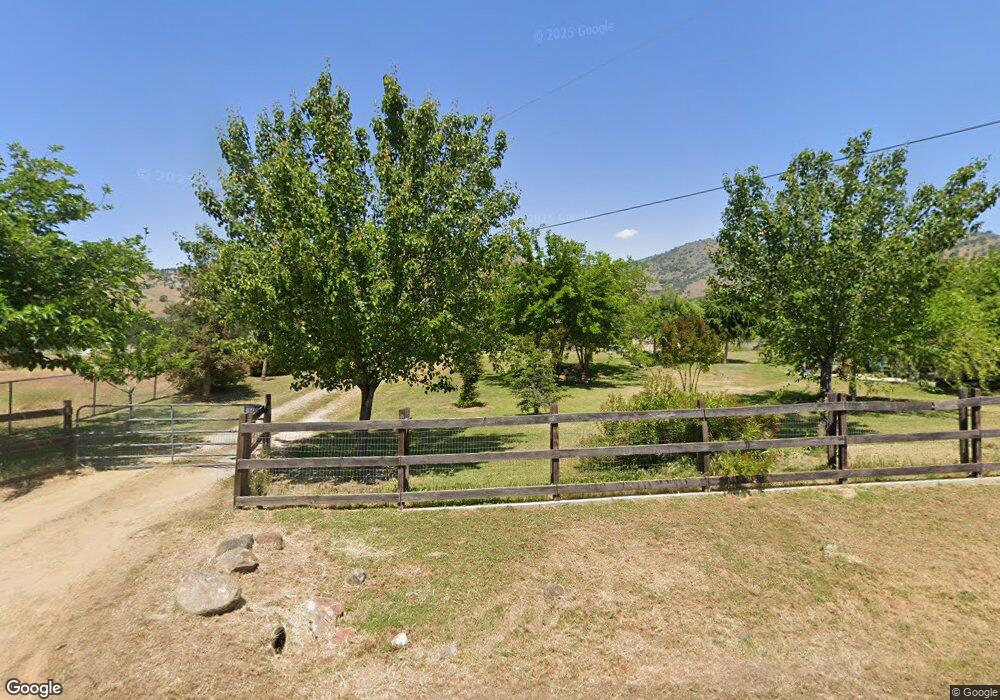
8002 Buckhorn Dr Sanger, CA 93657
Estimated Value: $396,000 - $532,214
4
Beds
3
Baths
2,186
Sq Ft
$218/Sq Ft
Est. Value
About This Home
This home is located at 8002 Buckhorn Dr, Sanger, CA 93657 and is currently estimated at $477,304, approximately $218 per square foot. 8002 Buckhorn Dr is a home located in Fresno County with nearby schools including Dunlap Elementary School and Reedley High School.
Ownership History
Date
Name
Owned For
Owner Type
Purchase Details
Closed on
Jul 9, 2012
Sold by
Kilner Michael Lee and Kilner Debra Ann
Bought by
Magallon Eric and Magallon Maria Del Socorro
Current Estimated Value
Purchase Details
Closed on
Dec 21, 2006
Sold by
Kilner Michael Lee
Bought by
Kilner Michael Lee and Kilner Debra Ann
Purchase Details
Closed on
May 18, 2005
Sold by
Kilner Matthew and Kilner Jennifer
Bought by
Kilner Michael
Home Financials for this Owner
Home Financials are based on the most recent Mortgage that was taken out on this home.
Original Mortgage
$217,000
Interest Rate
5.74%
Mortgage Type
Construction
Purchase Details
Closed on
Jan 17, 2005
Sold by
Wambolt Gary W and Myer Vicenta C
Bought by
Kilner Michael and Kilner Debra
Create a Home Valuation Report for This Property
The Home Valuation Report is an in-depth analysis detailing your home's value as well as a comparison with similar homes in the area
Purchase History
| Date | Buyer | Sale Price | Title Company |
|---|---|---|---|
| Magallon Eric | $160,000 | Chicago Title Company | |
| Kilner Michael Lee | -- | None Available | |
| Kilner Michael | -- | Fidelity National Title Co | |
| Kilner Michael | -- | Fidelity National Title Co | |
| Kilner Michael | -- | Fidelity National Title Co | |
| Kilner Michael | $50,000 | Financial Title Company |
Source: Public Records
Mortgage History
| Date | Status | Borrower | Loan Amount |
|---|---|---|---|
| Previous Owner | Kilner Michael | $217,000 |
Source: Public Records
Tax History
| Year | Tax Paid | Tax Assessment Tax Assessment Total Assessment is a certain percentage of the fair market value that is determined by local assessors to be the total taxable value of land and additions on the property. | Land | Improvement |
|---|---|---|---|---|
| 2025 | $3,977 | $249,890 | $24,622 | $225,268 |
| 2023 | $3,899 | $240,188 | $23,667 | $216,521 |
| 2022 | $3,881 | $235,479 | $23,203 | $212,276 |
| 2021 | $3,824 | $230,863 | $22,749 | $208,114 |
| 2020 | $3,829 | $228,497 | $22,516 | $205,981 |
| 2019 | $6,746 | $197,018 | $22,075 | $174,943 |
| 2018 | $6,333 | $173,156 | $21,643 | $151,513 |
| 2017 | $1,973 | $169,762 | $21,219 | $148,543 |
| 2016 | $1,927 | $166,434 | $20,803 | $145,631 |
| 2015 | $1,905 | $163,935 | $20,491 | $143,444 |
| 2014 | $1,884 | $160,725 | $20,090 | $140,635 |
Source: Public Records
Map
Nearby Homes
- 0
- 0 NE Mustang Rd Unit 642535
- 173 Rodeo Dr
- 99999 Elwood Rd
- 6 N Elwood Rd
- 1 Ciancetti Dr
- 6846 Chaparral Dr
- 0 Buckhorn Dr Unit 225130981
- 6698 Gaston Dr
- 6301 Lupine Dr
- 0 Ciancetti Dr Unit 645061
- 0 Hilltop Dr
- 123 Big Oak Rd
- 7079 Palomino Dr
- 0 Fiesta Dr
- 0 Bellows Dr
- 6009 Elwood Rd
- 7042 Palomino Dr
- 6050 Dogwood Dr
- 25433 E Trimmer Springs Rd Unit 4
- 7244 Lupine Dr
- 7272 Lupine Dr
- 7965 Buckhorn Dr
- 7412 Lupine Dr
- 7900 Buckhorn Dr
- 8020 Monreal Dr
- 8062 Monreal Dr
- 7935 Buckhorn Dr
- 7968 Monreal Dr
- 7293 Lupine Dr
- 0 No Address Available
- 7221 Lupine Dr
- 7248 Live Oak Dr
- 7926 Monreal Dr
- 7150 Lupine Dr
- 7280 Live Oak Dr
- 7314 Live Oak Dr
- 7856 Buckhorn Dr
- 7122 Lupine Dr
- 8121 Monreal Dr
Your Personal Tour Guide
Ask me questions while you tour the home.