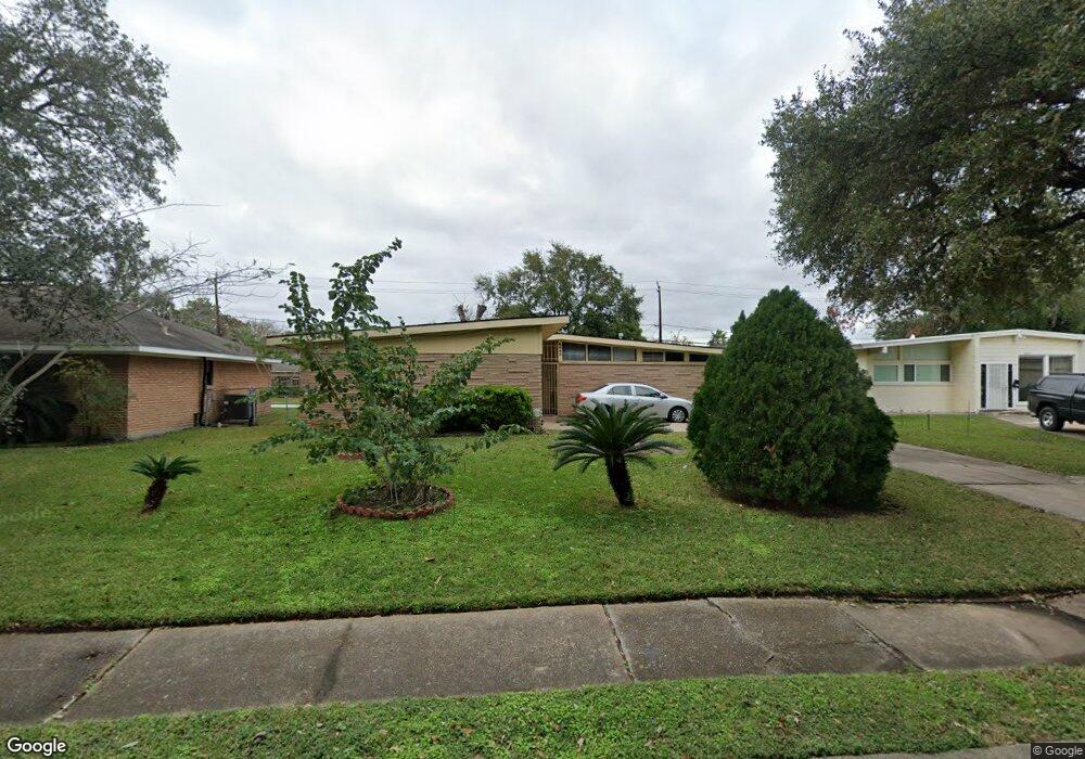
8006 Leader St Houston, TX 77036
Sharpstown NeighborhoodEstimated Value: $264,000 - $301,000
3
Beds
2
Baths
1,625
Sq Ft
$171/Sq Ft
Est. Value
About This Home
This home is located at 8006 Leader St, Houston, TX 77036 and is currently estimated at $277,286, approximately $170 per square foot. 8006 Leader St is a home located in Harris County with nearby schools including Neff Elementary School, Sugar Grove Academy, and Sharpstown High School.
Ownership History
Date
Name
Owned For
Owner Type
Purchase Details
Closed on
Dec 23, 2003
Sold by
Proctor Hallie M and Reitz Pamela
Bought by
Aragon Jose Luis and Aragon Miriam Guadalupe
Current Estimated Value
Home Financials for this Owner
Home Financials are based on the most recent Mortgage that was taken out on this home.
Original Mortgage
$106,700
Outstanding Balance
$49,926
Interest Rate
6.02%
Mortgage Type
Purchase Money Mortgage
Estimated Equity
$227,360
Create a Home Valuation Report for This Property
The Home Valuation Report is an in-depth analysis detailing your home's value as well as a comparison with similar homes in the area
Home Values in the Area
Average Home Value in this Area
Purchase History
| Date | Buyer | Sale Price | Title Company |
|---|---|---|---|
| Aragon Jose Luis | -- | American Title Co |
Source: Public Records
Mortgage History
| Date | Status | Borrower | Loan Amount |
|---|---|---|---|
| Open | Aragon Jose Luis | $106,700 |
Source: Public Records
Tax History Compared to Growth
Tax History
| Year | Tax Paid | Tax Assessment Tax Assessment Total Assessment is a certain percentage of the fair market value that is determined by local assessors to be the total taxable value of land and additions on the property. | Land | Improvement |
|---|---|---|---|---|
| 2025 | $3,237 | $267,160 | $137,111 | $130,049 |
| 2024 | $3,237 | $249,048 | $99,025 | $150,023 |
| 2023 | $3,237 | $252,276 | $99,025 | $153,251 |
| 2022 | $4,617 | $220,210 | $60,938 | $159,272 |
| 2021 | $4,287 | $183,939 | $60,938 | $123,001 |
| 2020 | $4,638 | $185,400 | $60,938 | $124,462 |
| 2019 | $4,761 | $182,370 | $45,704 | $136,666 |
| 2018 | $3,229 | $174,954 | $45,704 | $129,250 |
| 2017 | $4,116 | $170,998 | $45,704 | $125,294 |
| 2016 | $3,742 | $166,779 | $45,704 | $121,075 |
| 2015 | $2,271 | $147,946 | $45,704 | $102,242 |
| 2014 | $2,271 | $129,622 | $45,704 | $83,918 |
Source: Public Records
Map
Nearby Homes
- 7819 Bellaire Blvd
- 8314 Edgemoor Dr
- 6602 Harbor Town Dr Unit 1207
- 6602 Harbor Town Dr Unit 1202
- 6500 Harbor Town Dr Unit 3208
- 6500 Harbor Town Dr Unit 2808
- 6500 Harbor Town Dr Unit 3204
- 6500 Harbor Town Dr Unit 3408
- 6500 Harbor Town Dr Unit 2902
- 8019 Sharpview Dr
- 8223 Golf Green Cir
- 8515 Edgemoor Dr
- 7419 Barberton Dr
- 8527 Edgemoor Dr
- 6403 Fondren Rd Unit D25
- 8530 Roos Rd
- 7302 Burning Tree Dr
- 7807 Bellerive Dr
- 7655 Bellerive Dr Unit 3
- 8257 Sands Point Dr Unit 167
- 8010 Leader St
- 8010 Leader St Unit 1
- 8002 Leader St
- 8003 Bellaire Blvd
- 8007 Bellaire Blvd
- 7918 Leader St
- 8014 Leader St
- 7919 Bellaire Blvd
- 8011 Bellaire Blvd
- 8007 Leader St
- 8011 Leader St
- 8003 Leader St
- 7914 Leader St
- 8018 Leader St
- 7919 Leader St
- 7915 Bellaire Blvd
- 8015 Leader St
- 8015 Bellaire Blvd
- 7915 Leader St
- 8019 Leader St