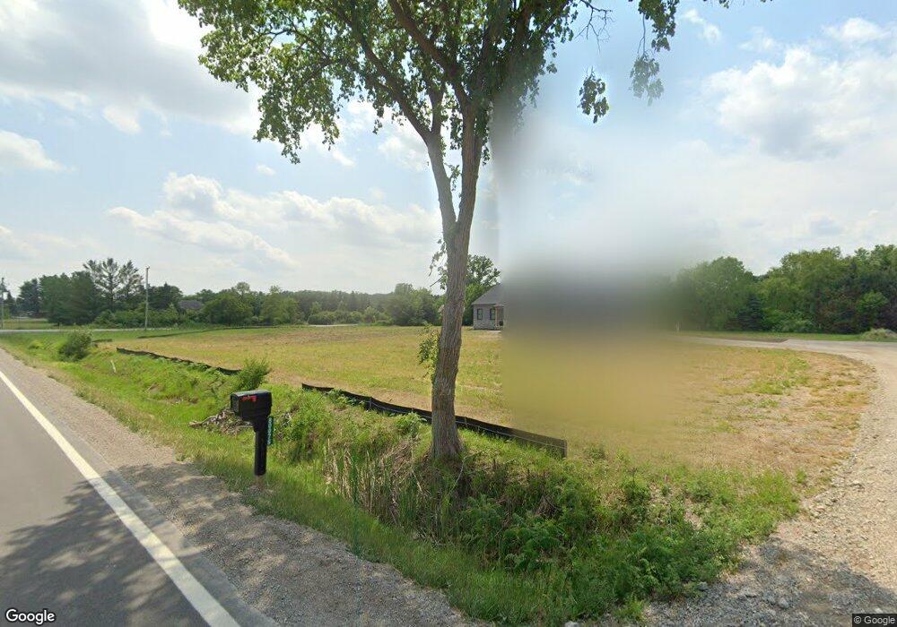
80076 Capac Rd Armada, MI 48005
Estimated Value: $415,681 - $506,000
Studio
1
Bath
1,820
Sq Ft
$251/Sq Ft
Est. Value
About This Home
This home is located at 80076 Capac Rd, Armada, MI 48005 and is currently estimated at $456,670, approximately $250 per square foot. 80076 Capac Rd is a home with nearby schools including Orville C. Krause Elementary School, Armada Middle School, and Armada High School.
Ownership History
Date
Name
Owned For
Owner Type
Purchase Details
Closed on
Apr 16, 2021
Sold by
Russo Anthony and Russo Lisa
Bought by
Simmons Abagail and Wallace Michael S
Current Estimated Value
Home Financials for this Owner
Home Financials are based on the most recent Mortgage that was taken out on this home.
Original Mortgage
$57,150
Outstanding Balance
$51,491
Interest Rate
2.87%
Mortgage Type
New Conventional
Estimated Equity
$405,179
Purchase Details
Closed on
Nov 30, 2018
Sold by
Russo Julia and Russo Salvatore Joseph
Bought by
Russo Anthony and Russo Lisa Carol
Purchase Details
Closed on
Dec 22, 2006
Sold by
The Lorenzo Russo Trust
Bought by
Russo Lorenzo and Russo Rosina
Create a Home Valuation Report for This Property
The Home Valuation Report is an in-depth analysis detailing your home's value as well as a comparison with similar homes in the area
Home Values in the Area
Average Home Value in this Area
Purchase History
| Date | Buyer | Sale Price | Title Company |
|---|---|---|---|
| Simmons Abagail | $63,500 | Cislo Title Co | |
| Russo Anthony | -- | None Available | |
| Russo Lorenzo | -- | Metropolitan Title Company |
Source: Public Records
Mortgage History
| Date | Status | Borrower | Loan Amount |
|---|---|---|---|
| Open | Simmons Abagail | $57,150 |
Source: Public Records
Tax History
| Year | Tax Paid | Tax Assessment Tax Assessment Total Assessment is a certain percentage of the fair market value that is determined by local assessors to be the total taxable value of land and additions on the property. | Land | Improvement |
|---|---|---|---|---|
| 2025 | $4,135 | $223,300 | $0 | $0 |
| 2024 | $40 | $216,800 | $0 | $0 |
| 2023 | $3,811 | $189,800 | $0 | $0 |
| 2022 | $1,577 | $31,400 | $0 | $0 |
| 2021 | $690 | $30,800 | $0 | $0 |
| 2020 | $431 | $29,000 | $0 | $0 |
| 2019 | $634 | $28,100 | $0 | $0 |
| 2018 | $581 | $26,400 | $0 | $0 |
| 2017 | $573 | $23,600 | $0 | $0 |
| 2016 | $569 | $23,600 | $0 | $0 |
| 2015 | -- | $21,400 | $0 | $0 |
| 2011 | -- | $20,870 | $20,870 | $0 |
Source: Public Records
Map
Nearby Homes
- 5414 Bordman Rd
- TBD Bordman Rd
- 408 Howell Rd
- 14750 Reid Rd
- 73763 Coon Creek Rd
- 2.0 Acres Vacant Lan Coon Creek Rd
- 78730 Brown Rd
- 0 Parcel D Almont Rd
- 0 Parcel E Almont Rd
- 0 Parcel C Almont Rd
- 77000 Brown Rd
- 0 Romeo Plank Rd Unit 50180632
- 16465 Almont Rd
- 16401 Almont Rd
- VL Hough Rd
- 14150 Hough Rd
- 23335 McPhall Rd
- 0 Capac Rd Unit G50063654
- 75901 North Ave
- 11572 Erins Way
- 80200 Capac Rd Unit Bldg-Unit
- 80200 Capac Rd
- 18475 Pratt Rd
- 80201 Capac Rd
- 80299 Capac Rd
- 18353 Pratt Rd
- 79851 Capac Rd
- 80405 Capac Rd
- 18901 Pratt Rd
- 18331 Pratt Rd
- 80198 Holmes Rd
- 80450 Capac Rd
- 18350 Pratt Rd
- 80425 Capac Rd
- 79701 Capac Rd
- 18300 Pratt Rd
- 18275 Pratt Rd
- 18926 Pratt Rd
- 18250 Pratt Rd
- 18201 Pratt Rd
Your Personal Tour Guide
Ask me questions while you tour the home.