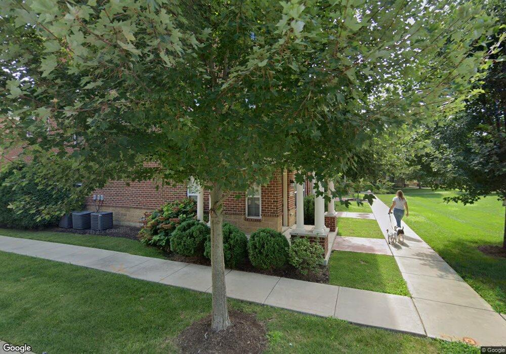
801 Brownstone Row Springboro, OH 45066
Estimated Value: $359,000 - $394,000
3
Beds
4
Baths
2,196
Sq Ft
$174/Sq Ft
Est. Value
About This Home
This home is located at 801 Brownstone Row, Springboro, OH 45066 and is currently estimated at $382,146, approximately $174 per square foot. 801 Brownstone Row is a home located in Warren County with nearby schools including Clearcreek Elementary School, Springboro Intermediate School, and Dennis Elementary School.
Ownership History
Date
Name
Owned For
Owner Type
Purchase Details
Closed on
Oct 22, 2019
Sold by
Dabbas Renee D
Bought by
Dabbas Lena A and Cypher Brett J
Current Estimated Value
Home Financials for this Owner
Home Financials are based on the most recent Mortgage that was taken out on this home.
Original Mortgage
$242,250
Outstanding Balance
$210,340
Interest Rate
3.5%
Mortgage Type
New Conventional
Estimated Equity
$171,806
Purchase Details
Closed on
Oct 30, 2017
Sold by
Simms Parkside Row Ltd
Bought by
Dabbas Ranee D
Home Financials for this Owner
Home Financials are based on the most recent Mortgage that was taken out on this home.
Original Mortgage
$294,500
Interest Rate
3.83%
Mortgage Type
New Conventional
Create a Home Valuation Report for This Property
The Home Valuation Report is an in-depth analysis detailing your home's value as well as a comparison with similar homes in the area
Home Values in the Area
Average Home Value in this Area
Purchase History
| Date | Buyer | Sale Price | Title Company |
|---|---|---|---|
| Dabbas Lena A | $285,000 | None Available | |
| Dabbas Ranee D | $27,190 | -- |
Source: Public Records
Mortgage History
| Date | Status | Borrower | Loan Amount |
|---|---|---|---|
| Open | Dabbas Lena A | $242,250 | |
| Closed | Dabbas Ranee D | $294,500 |
Source: Public Records
Tax History
| Year | Tax Paid | Tax Assessment Tax Assessment Total Assessment is a certain percentage of the fair market value that is determined by local assessors to be the total taxable value of land and additions on the property. | Land | Improvement |
|---|---|---|---|---|
| 2025 | $4,731 | $121,150 | $21,000 | $100,150 |
| 2024 | $4,731 | $121,150 | $21,000 | $100,150 |
| 2023 | $4,394 | $104,713 | $18,025 | $86,688 |
| 2022 | $4,394 | $104,713 | $18,025 | $86,688 |
| 2021 | $4,089 | $104,713 | $18,025 | $86,688 |
| 2020 | $4,540 | $101,665 | $17,500 | $84,165 |
| 2019 | $4,186 | $101,665 | $17,500 | $84,165 |
| 2018 | $4,189 | $101,665 | $17,500 | $84,165 |
| 2017 | $412 | $8,750 | $8,750 | $0 |
| 2016 | $0 | $0 | $0 | $0 |
Source: Public Records
Map
Nearby Homes
- 1101 Parklake Row
- 1785 Archerfield Place
- 92 Villa Pointe Dr Unit 92
- 450 Evergreen Dr
- 11392 Hollow Oak
- 25 Blose Ct
- 310 Evergreen Dr
- 540 Basil St
- 11138 Oakwood Village Blvd
- 25 Callaway
- 25 Glass Ct
- 365 Crockett Dr
- 33 Christman Dr
- 1315 Woodland Greens Blvd
- 80 Gregg Ct
- 10 Brookfield Ct
- 10862 Jandor Place
- 145 Timberwood Ln
- 250 Ballard Dr
- 40 Turnberry Ct
- 803 Brownstone Row
- 804 Brownstone Row
- 805 Brownstone Row
- 702 Brownstone Row
- 901 Brownstone Row
- 903 Brownstone Row
- 904 Brownstone Row
- 906 Brownstone Row
- 604 Brownstone Row
- 603 Brownstone Row
- 1002 Parklake Row
- 1003 Parklake Row
- 601 Brownstone Row
- 1004 Parklake Row
- 1102 Parklake Row
- 1103 Parklake Row
- 505 Brownstone Row
- 1005 Parklake Row
- 1104 Parklake Row
- 1105 Parklake Row
Your Personal Tour Guide
Ask me questions while you tour the home.