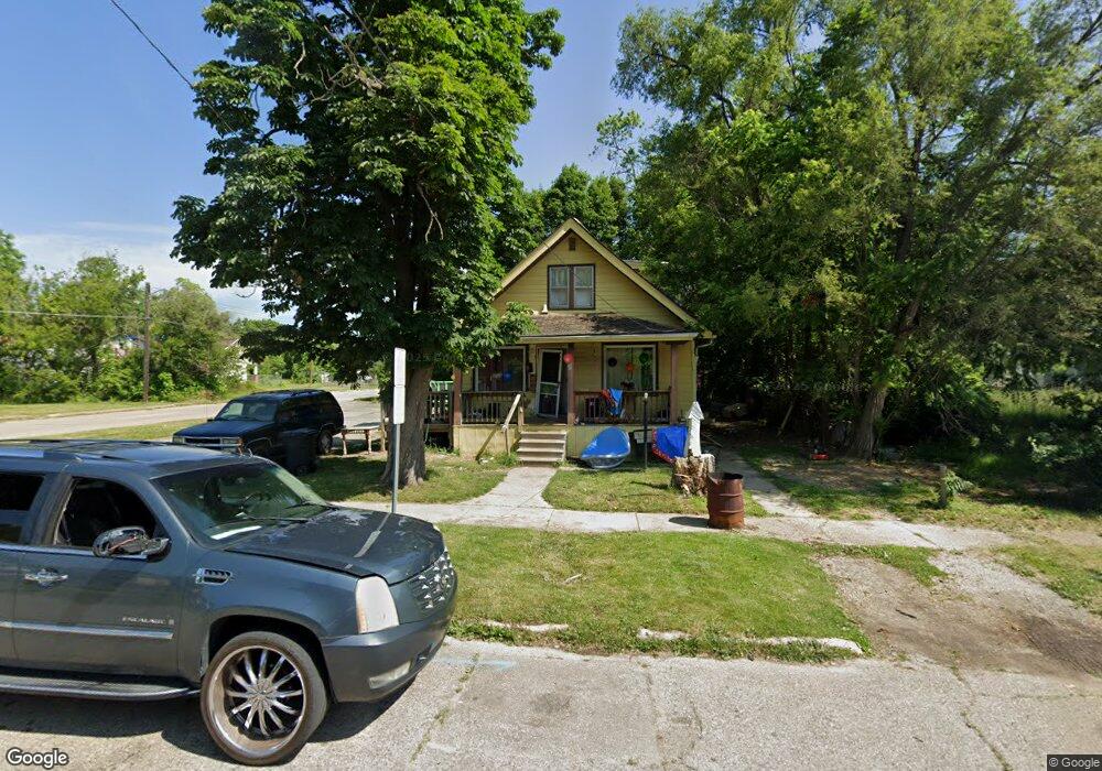
801 Carton St Flint, MI 48505
King Avenue Plus NeighborhoodEstimated Value: $30,000 - $47,323
5
Beds
1
Bath
1,200
Sq Ft
$34/Sq Ft
Est. Value
About This Home
This home is located at 801 Carton St, Flint, MI 48505 and is currently estimated at $41,331, approximately $34 per square foot. 801 Carton St is a home located in Genesee County with nearby schools including Brownell STEM Academy, Flint Cultural Center Academy, and Greater Heights Academy.
Ownership History
Date
Name
Owned For
Owner Type
Purchase Details
Closed on
Apr 19, 2021
Sold by
Johnson Andreanna N
Bought by
King Michell
Current Estimated Value
Purchase Details
Closed on
Dec 9, 2019
Sold by
Genesee County Land Bank Authority
Bought by
Johnson Andreanna
Purchase Details
Closed on
Jan 16, 2018
Sold by
The Genesee County Land Bank Authority
Bought by
Johnson Andreanna
Purchase Details
Closed on
Aug 15, 2014
Sold by
Johnson Alice
Bought by
Johnson Calvin C
Purchase Details
Closed on
Jul 8, 2014
Sold by
Williams Thomas
Bought by
Johnson Alice
Create a Home Valuation Report for This Property
The Home Valuation Report is an in-depth analysis detailing your home's value as well as a comparison with similar homes in the area
Home Values in the Area
Average Home Value in this Area
Purchase History
| Date | Buyer | Sale Price | Title Company |
|---|---|---|---|
| King Michell | -- | None Available | |
| Johnson Andreanna | -- | None Available | |
| Johnson Andreanna | $3,000 | None Available | |
| Johnson Calvin C | -- | Cislo Title Company | |
| Johnson Alice | -- | Cislo Title Company |
Source: Public Records
Mortgage History
| Date | Status | Borrower | Loan Amount |
|---|---|---|---|
| Closed | Johnson Andreanna | $0 |
Source: Public Records
Tax History
| Year | Tax Paid | Tax Assessment Tax Assessment Total Assessment is a certain percentage of the fair market value that is determined by local assessors to be the total taxable value of land and additions on the property. | Land | Improvement |
|---|---|---|---|---|
| 2025 | $576 | $13,400 | $0 | $0 |
| 2024 | $536 | $10,800 | $0 | $0 |
| 2023 | $535 | $6,700 | $0 | $0 |
| 2022 | $0 | $5,300 | $0 | $0 |
| 2021 | $591 | $5,100 | $0 | $0 |
| 2020 | $556 | $4,400 | $0 | $0 |
| 2019 | $564 | $4,500 | $0 | $0 |
| 2018 | $221 | $0 | $0 | $0 |
| 2017 | $582 | $0 | $0 | $0 |
| 2016 | $511 | $0 | $0 | $0 |
| 2015 | -- | $0 | $0 | $0 |
| 2014 | -- | $0 | $0 | $0 |
| 2012 | -- | $5,500 | $0 | $0 |
Source: Public Records
Map
Nearby Homes
- 902 Addison St
- 906 Addison St
- 4028 North St
- 3810 Marvin St
- 630 E Dartmouth St
- 605 E Baltimore Blvd
- 115 E Genesee St
- 218 E Jackson Ave
- 132 W Jamieson St
- 680 E Pierson Rd
- 200 W Mcclellan St
- 217 W Dewey St
- 1510 Utah Ave
- 1422 Leith St
- 124 W Flint Park Blvd
- 1526 Arizona Ave
- 618 E Parkway Ave
- 1526 Montana Ave
- 320 W Mcclellan St
- 1518 Leith St
Your Personal Tour Guide
Ask me questions while you tour the home.