801 Cook Point Rd Cambridge, MD 21613
Estimated Value: $359,698 - $548,000
Studio
1
Bath
1,270
Sq Ft
$357/Sq Ft
Est. Value
About This Home
This home is located at 801 Cook Point Rd, Cambridge, MD 21613 and is currently estimated at $452,925, approximately $356 per square foot. 801 Cook Point Rd is a home located in Dorchester County with nearby schools including Sandy Hill Elementary School, Mace's Lane Middle School, and Cambridge-South Dorchester High School.
Ownership History
Date
Name
Owned For
Owner Type
Purchase Details
Closed on
Jul 31, 1990
Sold by
Daniels Thomas S and Daniels Marybeth E
Bought by
Brite Eugene G
Current Estimated Value
Purchase Details
Closed on
Aug 25, 1983
Sold by
Marshall David N and Marshall Shirley
Bought by
Daniels Thomas S and Daniels Marybeth E
Home Financials for this Owner
Home Financials are based on the most recent Mortgage that was taken out on this home.
Original Mortgage
$41,000
Interest Rate
13.89%
Create a Home Valuation Report for This Property
The Home Valuation Report is an in-depth analysis detailing your home's value as well as a comparison with similar homes in the area
Home Values in the Area
Average Home Value in this Area
Purchase History
| Date | Buyer | Sale Price | Title Company |
|---|---|---|---|
| Brite Eugene G | $120,000 | -- | |
| Daniels Thomas S | $47,000 | -- |
Source: Public Records
Mortgage History
| Date | Status | Borrower | Loan Amount |
|---|---|---|---|
| Previous Owner | Daniels Thomas S | $41,000 |
Source: Public Records
Tax History
| Year | Tax Paid | Tax Assessment Tax Assessment Total Assessment is a certain percentage of the fair market value that is determined by local assessors to be the total taxable value of land and additions on the property. | Land | Improvement |
|---|---|---|---|---|
| 2025 | $3,301 | $283,833 | $0 | $0 |
| 2024 | $3,006 | $274,367 | $0 | $0 |
| 2023 | $3,006 | $264,900 | $193,500 | $71,400 |
| 2022 | $5,860 | $258,100 | $0 | $0 |
| 2021 | $2,779 | $251,300 | $0 | $0 |
| 2020 | $2,779 | $244,500 | $181,400 | $63,100 |
| 2019 | $2,779 | $244,500 | $181,400 | $63,100 |
| 2018 | $2,779 | $244,500 | $181,400 | $63,100 |
| 2017 | $2,998 | $270,500 | $0 | $0 |
| 2016 | -- | $270,500 | $0 | $0 |
| 2015 | -- | $270,500 | $0 | $0 |
| 2014 | -- | $274,800 | $0 | $0 |
Source: Public Records
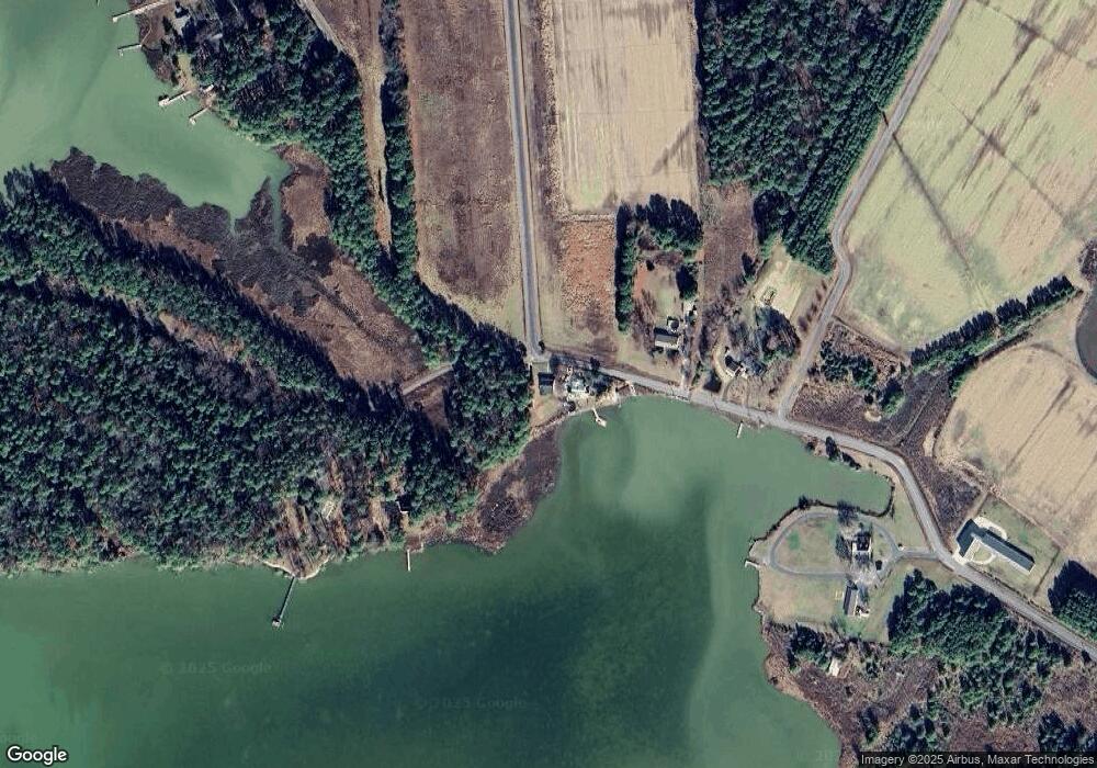
Map
Nearby Homes
- 814 Cody Dr
- 810 Kim Dr
- 820 Kim Dr
- 5839 Hudson Wharf Rd
- 6010 Todds Point Rd
- 5816 Indian Quarter Rd
- 0 Heather Ln Unit MDDO2010808
- 5608 Riverton Rd
- 5622 Ross Neck Rd
- 5511 Casson Neck Rd
- 810 Seabreeze Rd
- 0 Big View Rd Unit MDDO2011458
- 5304 Cassons Neck Rd
- 0 Hudson Rd
- 5200 Travelers Rest Rd
- 5229 Heron Rd
- 5226 Heron Rd
- 5223 Heron Rd
- 5084 Ferry Neck Rd
- 5219 Heron Rd
- 803 Cook Point Rd
- 806 Cook Point Rd
- 779 Cook Point Rd
- 810 Cook Point Rd
- 810 Cook Point Rd
- 0 Cooks Point Rd Unit 1000332212
- 775 Cooks Point Rd
- 775 Cook Point Rd
- 825 Cook Point Rd
- 612 Twin Point Cove Rd
- 616 Twin Point Cove Rd
- 800 Cody Dr
- 618 Twin Point Cove Rd
- 800 Chateau Rd
- 734 Twin Point Cove Rd
- 620 Twin Point Cove Rd
- 802 Cody Dr
- 6026 Twin Point Cove Rd
- 730 Twin Point Cove Rd
- 801 Cody Dr
Your Personal Tour Guide
Ask me questions while you tour the home.