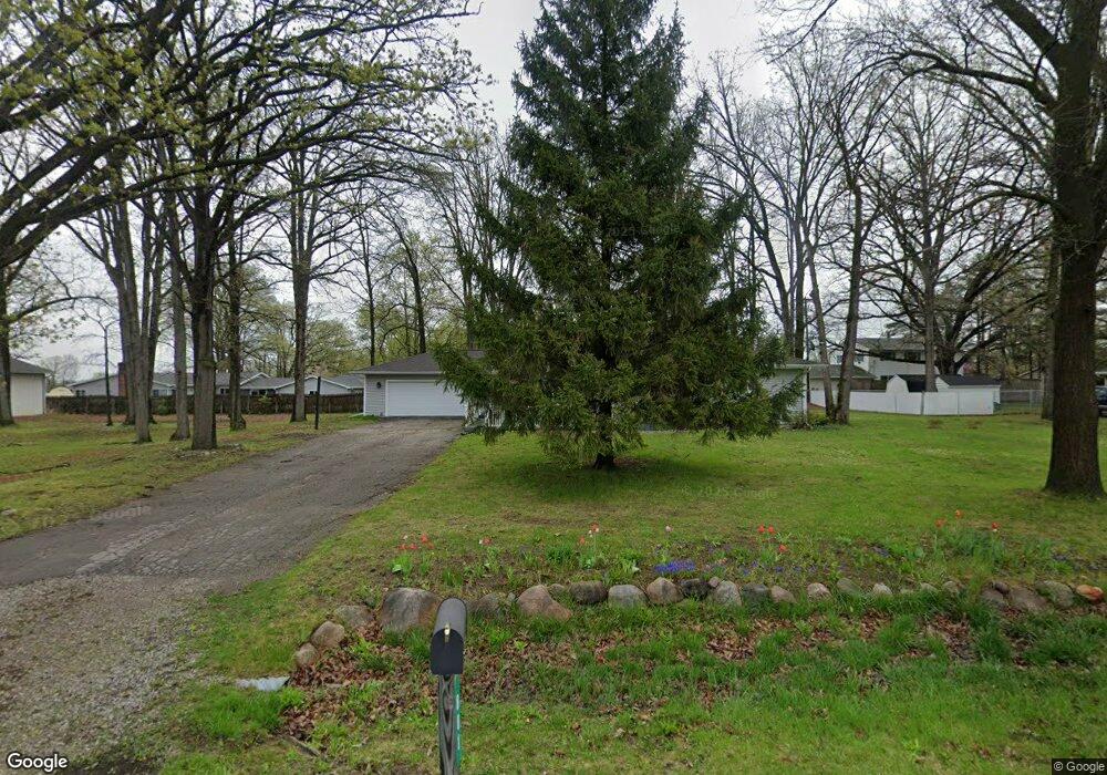
801 Dexter Dr Lennon, MI 48449
Venice Township NeighborhoodEstimated Value: $295,000 - $313,563
--
Bed
--
Bath
--
Sq Ft
0.39
Acres
About This Home
This home is located at 801 Dexter Dr, Lennon, MI 48449 and is currently estimated at $305,891. 801 Dexter Dr is a home located in Shiawassee County with nearby schools including Bertha Neal Elementary School, Robert Kerr School, and Durand Middle School.
Ownership History
Date
Name
Owned For
Owner Type
Purchase Details
Closed on
Nov 18, 2021
Sold by
Smith Rebecca and Baker Rebecca
Bought by
Baker Hannah
Current Estimated Value
Home Financials for this Owner
Home Financials are based on the most recent Mortgage that was taken out on this home.
Original Mortgage
$246,380
Outstanding Balance
$226,108
Interest Rate
3.1%
Estimated Equity
$79,783
Create a Home Valuation Report for This Property
The Home Valuation Report is an in-depth analysis detailing your home's value as well as a comparison with similar homes in the area
Home Values in the Area
Average Home Value in this Area
Purchase History
| Date | Buyer | Sale Price | Title Company |
|---|---|---|---|
| Baker Hannah | $254,000 | Dream Title And Escrow Agcy |
Source: Public Records
Mortgage History
| Date | Status | Borrower | Loan Amount |
|---|---|---|---|
| Open | Baker Hannah | $246,380 |
Source: Public Records
Tax History Compared to Growth
Tax History
| Year | Tax Paid | Tax Assessment Tax Assessment Total Assessment is a certain percentage of the fair market value that is determined by local assessors to be the total taxable value of land and additions on the property. | Land | Improvement |
|---|---|---|---|---|
| 2025 | $2,865 | $121,700 | $0 | $0 |
| 2024 | $2,704 | $120,900 | $0 | $0 |
| 2023 | $1,005 | $101,400 | $0 | $0 |
| 2022 | $1,831 | $83,000 | $0 | $0 |
| 2021 | $1,777 | $66,200 | $0 | $0 |
| 2020 | $1,759 | $66,200 | $0 | $0 |
| 2019 | $1,670 | $48,700 | $0 | $0 |
| 2018 | $1,623 | $48,400 | $0 | $0 |
| 2017 | $1,562 | $43,700 | $0 | $0 |
| 2016 | -- | $43,700 | $0 | $0 |
| 2015 | -- | $41,800 | $0 | $0 |
| 2014 | $383 | $40,200 | $0 | $0 |
Source: Public Records
Map
Nearby Homes
- 805 Oak St
- 908 Tyler Rd
- 2548 S Sheridan Rd
- V/L S Sheridan Rd
- 11295 E Lytle Rd
- 12502 W Corunna Rd
- TBD E Brooks Rd N of Us 69 W of M13
- 4101 lot 171 S Sheridan
- 1936 Elmwood Dr
- 4101 S Sheridan Rd Unit 132
- 4014 S Duffield Rd
- 11424 Corunna Rd
- 9895 E Brooks Rd
- 9508 E Lytle Rd
- 1475 S Nichols Rd
- 11415 Miller Rd
- 10001 Goodall Unit 77
- 5051 Nichols Rd
- 10141 McEnrue Rd
- 0 Corunna Rd Unit 20251051464