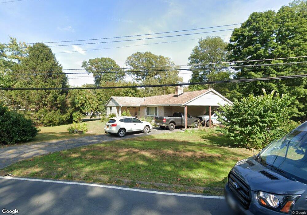
801 Miner Rd Crownsville, MD 21032
Arden on the Severn NeighborhoodEstimated Value: $464,000 - $592,000
--
Bed
2
Baths
1,428
Sq Ft
$372/Sq Ft
Est. Value
About This Home
This home is located at 801 Miner Rd, Crownsville, MD 21032 and is currently estimated at $531,413, approximately $372 per square foot. 801 Miner Rd is a home located in Anne Arundel County with nearby schools including Millersville Elementary School, Old Mill High School, and Rockbridge Academy.
Ownership History
Date
Name
Owned For
Owner Type
Purchase Details
Closed on
Dec 22, 2016
Sold by
Donaldson Ralph E and Donaldson Laura A
Bought by
Donaldson Ralph E and Donaldson Laura A
Current Estimated Value
Purchase Details
Closed on
Jan 21, 2003
Sold by
Bausum B Franklin
Bought by
Donaldson Ralph E and Donaldson Laura
Purchase Details
Closed on
Dec 21, 1987
Sold by
Sutton Chas J
Bought by
Bausum B Franklin
Home Financials for this Owner
Home Financials are based on the most recent Mortgage that was taken out on this home.
Original Mortgage
$155,000
Interest Rate
10.69%
Create a Home Valuation Report for This Property
The Home Valuation Report is an in-depth analysis detailing your home's value as well as a comparison with similar homes in the area
Home Values in the Area
Average Home Value in this Area
Purchase History
| Date | Buyer | Sale Price | Title Company |
|---|---|---|---|
| Donaldson Ralph E | -- | None Available | |
| Donaldson Ralph E | $150,000 | -- | |
| Bausum B Franklin | $165,000 | -- |
Source: Public Records
Mortgage History
| Date | Status | Borrower | Loan Amount |
|---|---|---|---|
| Previous Owner | Bausum B Franklin | $155,000 | |
| Closed | Donaldson Ralph E | -- |
Source: Public Records
Tax History Compared to Growth
Tax History
| Year | Tax Paid | Tax Assessment Tax Assessment Total Assessment is a certain percentage of the fair market value that is determined by local assessors to be the total taxable value of land and additions on the property. | Land | Improvement |
|---|---|---|---|---|
| 2025 | $5,287 | $542,700 | $385,700 | $157,000 |
| 2024 | $5,287 | $531,833 | $0 | $0 |
| 2023 | $4,652 | $520,967 | $0 | $0 |
| 2022 | $4,889 | $510,100 | $385,700 | $124,400 |
| 2021 | $9,456 | $488,867 | $0 | $0 |
| 2020 | $4,528 | $467,633 | $0 | $0 |
| 2019 | $4,372 | $446,400 | $325,700 | $120,700 |
| 2018 | $4,332 | $427,200 | $0 | $0 |
| 2017 | $3,959 | $408,000 | $0 | $0 |
| 2016 | -- | $388,800 | $0 | $0 |
| 2015 | -- | $380,533 | $0 | $0 |
| 2014 | -- | $372,267 | $0 | $0 |
Source: Public Records
Map
Nearby Homes
- 1037 Dockser Dr
- 1003 Omar Dr
- 717 Whitneys Landing Dr
- 1013 Plum Creek Dr
- 1001 Omar Dr
- 626 Evergreen Rd
- 596 West Dr
- 366 Walnut Trail
- 0 Old Herald Harbor Rd Unit MDAA2109542
- 0 Old Herald Harbor Rd Unit MDAA2115958
- 0 Beech Trail
- 0 Elm Trail
- 600 Hidden Pond Ln
- 478 Mountain Rd
- 1158 Blue Bird Ln
- 1304 North Rd
- 0 Redwood Trail Unit MDAA2111808
- 0 Redwood Trail Unit MDAA2111804
- 0 Herald Harbor Rd Unit MDAA2123892
- 0 Whitewood Trail