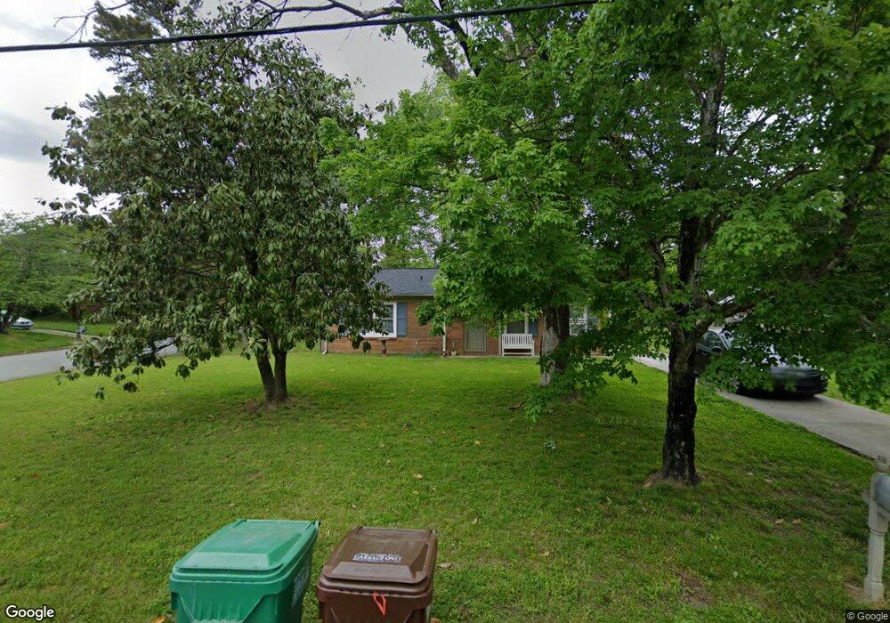
801 Miriam Ave High Point, NC 27263
Greater High Point NeighborhoodEstimated Value: $143,860 - $186,000
3
Beds
1
Bath
1,055
Sq Ft
$154/Sq Ft
Est. Value
About This Home
This home is located at 801 Miriam Ave, High Point, NC 27263 and is currently estimated at $162,465, approximately $153 per square foot. 801 Miriam Ave is a home located in Guilford County with nearby schools including Allen Jay Elementary School, Southern Guilford Middle, and Southern Guilford High School.
Ownership History
Date
Name
Owned For
Owner Type
Purchase Details
Closed on
Jul 12, 2019
Sold by
Roan Thien Thanh and Huynh Chau Ngoc Bao
Bought by
Aslam Malik M
Current Estimated Value
Purchase Details
Closed on
Jun 10, 2010
Sold by
Roan Thien Thanh and Huynh Chau Ngoc Bao
Bought by
Roan Thien Thanh and Huynh Chau Ngoc Bao
Purchase Details
Closed on
Jun 3, 2010
Sold by
Mcduffie Dick T and Mcduffie Lisa A
Bought by
Roan Thien Than
Purchase Details
Closed on
Aug 26, 1997
Bought by
Mcduffie Dick T
Create a Home Valuation Report for This Property
The Home Valuation Report is an in-depth analysis detailing your home's value as well as a comparison with similar homes in the area
Home Values in the Area
Average Home Value in this Area
Purchase History
| Date | Buyer | Sale Price | Title Company |
|---|---|---|---|
| Aslam Malik M | $57,000 | None Available | |
| Roan Thien Thanh | -- | Chicago Title Insurance Co | |
| Roan Thien Than | $33,000 | None Available | |
| Mcduffie Dick T | $59,900 | -- |
Source: Public Records
Tax History
| Year | Tax Paid | Tax Assessment Tax Assessment Total Assessment is a certain percentage of the fair market value that is determined by local assessors to be the total taxable value of land and additions on the property. | Land | Improvement |
|---|---|---|---|---|
| 2025 | $1,148 | $83,300 | $20,000 | $63,300 |
| 2024 | $1,148 | $83,300 | $20,000 | $63,300 |
| 2023 | $1,148 | $83,300 | $20,000 | $63,300 |
| 2022 | $1,123 | $83,300 | $20,000 | $63,300 |
| 2021 | $843 | $61,200 | $17,000 | $44,200 |
| 2020 | $843 | $61,200 | $17,000 | $44,200 |
| 2019 | $843 | $61,200 | $0 | $0 |
| 2018 | $839 | $61,200 | $0 | $0 |
| 2017 | $843 | $61,200 | $0 | $0 |
| 2016 | $987 | $70,400 | $0 | $0 |
| 2015 | $993 | $70,400 | $0 | $0 |
| 2014 | $1,010 | $70,400 | $0 | $0 |
Source: Public Records
Map
Nearby Homes
- 914 Nance Ave
- 1105 E Springfield Rd
- 717 Belmont Dr
- 921 Norton St
- 600 E Fairfield Rd
- 715 Baker Rd
- 611 Liberty Rd
- 000 Liberty Rd
- 1535 E Fairfield Rd
- 126 Apollo Cir
- 609 Martha Place
- 607 Martha Place
- 1501 Cox Ct
- 312 Model Farm Rd
- 312 Playground Rd
- 10844 N Main St
- 1638 Kersey Valley Rd
- 206 E Moore Ave
- 1900-1922 Baker Rd
- 10812, 10822, 10828 N Main St
- 803 Miriam Ave
- 2703 Ernest St
- 805 Miriam Ave
- 2701 Ernest St
- 2704 Ernest St
- 2702 Ernest St
- 800 Miriam Ave
- 807 Miriam Ave
- 802 Miriam Ave
- 2700 Ernest St
- 2623 Ernest St
- 804 Miriam Ave
- 814 Spring Oak Ct
- 809 Miriam Ave
- 1014 Gaines Ave
- 806 Miriam Ave
- 2621 Ernest St
- 2711 Ernest St
- 2710 Ernest St
- 812 Spring Oak Ct
Your Personal Tour Guide
Ask me questions while you tour the home.