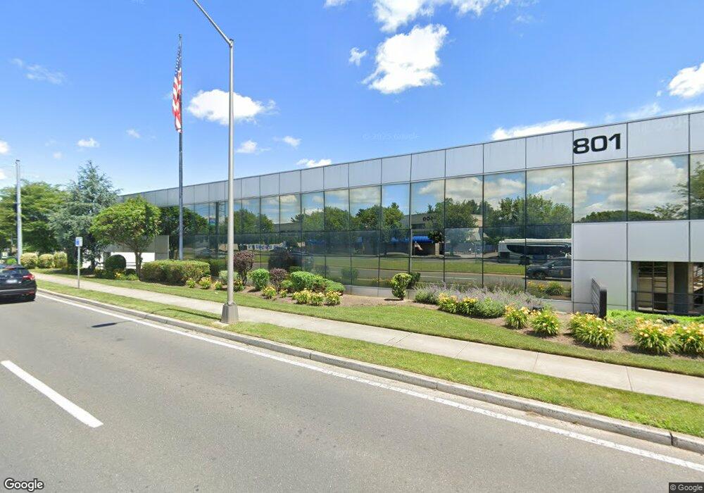
801 Motor Pkwy Unit 101 Hauppauge, NY 11788
Estimated Value: $3,555,854
--
Bed
--
Bath
--
Sq Ft
0.84
Acres
About This Home
This home is located at 801 Motor Pkwy Unit 101, Hauppauge, NY 11788 and is currently estimated at $3,555,854. 801 Motor Pkwy Unit 101 is a home located in Suffolk County.
Ownership History
Date
Name
Owned For
Owner Type
Purchase Details
Closed on
Nov 26, 2008
Sold by
801 Llc
Bought by
Csf Construction Mgmt Llc
Current Estimated Value
Home Financials for this Owner
Home Financials are based on the most recent Mortgage that was taken out on this home.
Original Mortgage
$1,600,000
Outstanding Balance
$1,056,163
Interest Rate
6.11%
Estimated Equity
$2,499,691
Purchase Details
Closed on
Aug 2, 2001
Sold by
Tsunis John and Tsunis Charles
Bought by
801 Llc
Home Financials for this Owner
Home Financials are based on the most recent Mortgage that was taken out on this home.
Original Mortgage
$900,000
Interest Rate
7.16%
Mortgage Type
Commercial
Create a Home Valuation Report for This Property
The Home Valuation Report is an in-depth analysis detailing your home's value as well as a comparison with similar homes in the area
Home Values in the Area
Average Home Value in this Area
Purchase History
| Date | Buyer | Sale Price | Title Company |
|---|---|---|---|
| Csf Construction Mgmt Llc | $2,000,000 | John Ferretti | |
| 801 Llc | $950,000 | Chicago Title Insurance Co |
Source: Public Records
Mortgage History
| Date | Status | Borrower | Loan Amount |
|---|---|---|---|
| Open | Csf Construction Mgmt Llc | $1,600,000 | |
| Previous Owner | 801 Llc | $900,000 |
Source: Public Records
Tax History Compared to Growth
Tax History
| Year | Tax Paid | Tax Assessment Tax Assessment Total Assessment is a certain percentage of the fair market value that is determined by local assessors to be the total taxable value of land and additions on the property. | Land | Improvement |
|---|---|---|---|---|
| 2024 | -- | $210,000 | $38,440 | $171,560 |
| 2023 | -- | $265,000 | $38,440 | $226,560 |
| 2022 | $83,282 | $265,000 | $38,440 | $226,560 |
| 2021 | $83,282 | $265,000 | $38,440 | $226,560 |
| 2020 | $84,673 | $265,000 | $38,440 | $226,560 |
| 2019 | $83,282 | $0 | $0 | $0 |
| 2018 | -- | $265,000 | $38,440 | $226,560 |
| 2017 | $88,383 | $265,000 | $38,440 | $226,560 |
| 2016 | $84,713 | $265,000 | $38,440 | $226,560 |
| 2015 | -- | $265,000 | $38,440 | $226,560 |
| 2014 | -- | $265,000 | $38,440 | $226,560 |
Source: Public Records
Map
Nearby Homes
- 155 Calebs Path
- 184 Calebs Path
- 7 Whitespruce Ln
- 43 Bushwick Ave
- 35 Bushwick Ave
- 27 Douglass St
- 48 Bushwick Ave
- 1304 Express Dr S
- 153 Calebs Path
- 30 Bushwick Ave
- 15 Rugby St
- 56 Gates Ave
- 90 Bushwick Ave
- 489 Washington Ave
- 85 Eagle Ln
- 94 Eagle Ln
- 41 Berkshire Dr
- 209 Brentwood Pkwy
- 1010 Motor Pkwy
- 55 Van Buren St