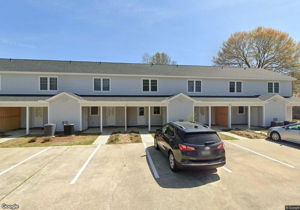
801 Nash St W Wilson, NC 27893
Estimated Value: $623,000 - $886,000
2
Beds
2
Baths
--
Sq Ft
--
Built
About This Home
This home is located at 801 Nash St W, Wilson, NC 27893 and is currently estimated at $727,441. 801 Nash St W is a home located in Wilson County with nearby schools including Margaret Hearne Elementary School, Toisnot Middle School, and Fike High School.
Ownership History
Date
Name
Owned For
Owner Type
Purchase Details
Closed on
Mar 4, 2021
Sold by
Tesa Properties Llc
Bought by
Insurence Leasing Assciates Llc
Current Estimated Value
Purchase Details
Closed on
Oct 22, 2020
Sold by
Absher Alton A and Narron Nancy C
Bought by
Hackney John N and Tesa Properties Llc
Home Financials for this Owner
Home Financials are based on the most recent Mortgage that was taken out on this home.
Original Mortgage
$500,000
Interest Rate
2.8%
Mortgage Type
Construction
Create a Home Valuation Report for This Property
The Home Valuation Report is an in-depth analysis detailing your home's value as well as a comparison with similar homes in the area
Home Values in the Area
Average Home Value in this Area
Purchase History
| Date | Buyer | Sale Price | Title Company |
|---|---|---|---|
| Insurence Leasing Assciates Llc | -- | None Available | |
| Hackney John N | $410,000 | None Available |
Source: Public Records
Mortgage History
| Date | Status | Borrower | Loan Amount |
|---|---|---|---|
| Previous Owner | Hackney John N | $500,000 |
Source: Public Records
Tax History
| Year | Tax Paid | Tax Assessment Tax Assessment Total Assessment is a certain percentage of the fair market value that is determined by local assessors to be the total taxable value of land and additions on the property. | Land | Improvement |
|---|---|---|---|---|
| 2025 | $6,782 | $605,537 | $59,328 | $546,209 |
| 2024 | $6,782 | $605,537 | $59,328 | $546,209 |
| 2023 | $5,246 | $402,002 | $44,496 | $357,506 |
| 2022 | $5,246 | $402,002 | $44,496 | $357,506 |
| 2021 | $4,380 | $335,619 | $44,496 | $291,123 |
| 2020 | $4,380 | $335,619 | $44,496 | $291,123 |
| 2019 | $4,380 | $335,619 | $44,496 | $291,123 |
| 2018 | $0 | $335,619 | $44,496 | $291,123 |
| 2017 | $4,313 | $335,619 | $44,496 | $291,123 |
| 2016 | $4,313 | $335,619 | $44,496 | $291,123 |
| 2014 | $5,151 | $413,724 | $44,496 | $369,228 |
Source: Public Records
Map
Nearby Homes
- 110 Rountree St W
- 806 Vance St N
- 704 Vance St E
- 703 Broad St W
- 1007 Nash St NW
- 310 Atlantic Christian College Dr W
- 1105 Anderson St NW
- 700 Kenan St W
- 207 Bruton St W
- 108 Gray St NE
- 209 Daniel St W
- 919 College Cir N
- 1009 Walnut St W
- 1213 Nash St NW
- 508 Woodard St NE
- 219 Broad St W
- 509 Bynum St N
- 906 Corbett Ave NE
- 1304 Adams St N
- 310 Maplewood Ave NE
- 803 Nash St W
- 803 Nash St N
- 100 Atlantic Christian Col Dr W
- 100 Atlantic Christian College Dr W
- 100 Atlantic Christian Col Dr W
- 100 Acc W Dr
- 102 Atlantic Christian Col Dr W
- 703 Nash St W
- 703 Nash St N
- 103 Atlantic Christian Col Dr W
- 107 Raleigh Road Pkwy W
- 107 Raleigh Road Pkwy W
- 103 Atlantic Christian Col Dr W
- 904 Broad St W
- 902 Broad St W
- 107&109 Raleigh Road Pkwy
- 900 Broad St W
- 107 Atlantic Christian Col Dr W
- 106 Rountree St W
- 906 Broad St W
Your Personal Tour Guide
Ask me questions while you tour the home.