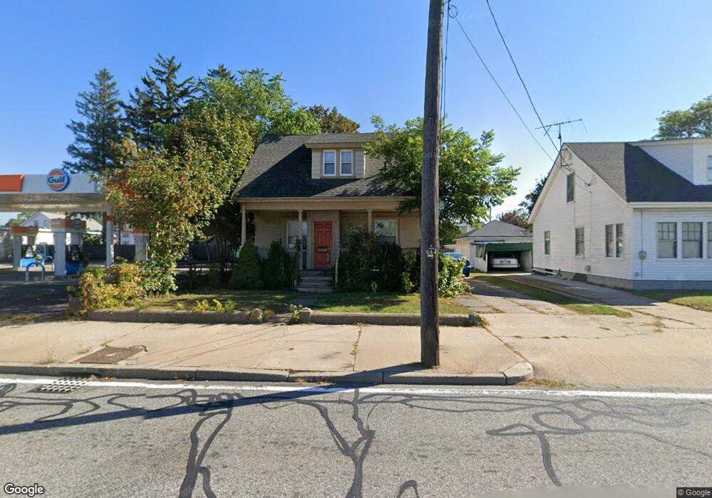
801 Newport Ave Pawtucket, RI 02861
Darlington NeighborhoodEstimated Value: $330,000 - $403,000
3
Beds
2
Baths
1,253
Sq Ft
$292/Sq Ft
Est. Value
About This Home
This home is located at 801 Newport Ave, Pawtucket, RI 02861 and is currently estimated at $366,223, approximately $292 per square foot. 801 Newport Ave is a home located in Providence County with nearby schools including St Cecilia School and Saint Teresa Catholic Elementary School.
Ownership History
Date
Name
Owned For
Owner Type
Purchase Details
Closed on
Sep 14, 1999
Sold by
Artinian Agisha
Bought by
Plunta Mary J and Plunta Peter J
Current Estimated Value
Home Financials for this Owner
Home Financials are based on the most recent Mortgage that was taken out on this home.
Original Mortgage
$54,000
Interest Rate
7.65%
Create a Home Valuation Report for This Property
The Home Valuation Report is an in-depth analysis detailing your home's value as well as a comparison with similar homes in the area
Home Values in the Area
Average Home Value in this Area
Purchase History
| Date | Buyer | Sale Price | Title Company |
|---|---|---|---|
| Plunta Mary J | $67,000 | -- |
Source: Public Records
Mortgage History
| Date | Status | Borrower | Loan Amount |
|---|---|---|---|
| Open | Plunta Mary J | $84,209 | |
| Closed | Plunta Mary J | $14,770 | |
| Closed | Plunta Mary J | $54,000 |
Source: Public Records
Tax History
| Year | Tax Paid | Tax Assessment Tax Assessment Total Assessment is a certain percentage of the fair market value that is determined by local assessors to be the total taxable value of land and additions on the property. | Land | Improvement |
|---|---|---|---|---|
| 2025 | $3,098 | $235,600 | $93,800 | $141,800 |
| 2024 | $2,907 | $235,600 | $93,800 | $141,800 |
| 2023 | $3,151 | $186,000 | $69,500 | $116,500 |
| 2022 | $3,084 | $186,000 | $69,500 | $116,500 |
| 2021 | $3,084 | $186,000 | $69,500 | $116,500 |
| 2020 | $2,757 | $132,000 | $50,600 | $81,400 |
| 2019 | $2,757 | $132,000 | $50,600 | $81,400 |
| 2018 | $2,657 | $132,000 | $50,600 | $81,400 |
| 2017 | $2,615 | $115,100 | $38,000 | $77,100 |
| 2016 | $2,520 | $115,100 | $38,000 | $77,100 |
| 2015 | $2,520 | $115,100 | $38,000 | $77,100 |
| 2014 | $2,301 | $99,800 | $40,700 | $59,100 |
Source: Public Records
Map
Nearby Homes
- 791 Newport Ave
- 785 Newport Ave
- 25 Benjamin St
- 31 Benjamin St
- 15 Benjamin St
- 823 Newport Ave
- 539 Armistice Blvd Unit 2
- 779 Newport Ave
- 35 Benjamin St
- 268 Post Rd
- 790 Newport Ave
- 769 Newport Ave
- 774 Newport Ave
- 39 Benjamin St
- 545 Armistice Blvd
- 543 Armistice Blvd
- 43 Benjamin St
- 767 Newport Ave
- 20 Benjamin St
- 553 Armistice Blvd
Your Personal Tour Guide
Ask me questions while you tour the home.