801 Old Albany Rd Moultrie, GA 31768
Estimated Value: $237,000 - $414,662
--
Bed
2
Baths
2,405
Sq Ft
$141/Sq Ft
Est. Value
About This Home
This home is located at 801 Old Albany Rd, Moultrie, GA 31768 and is currently estimated at $339,666, approximately $141 per square foot. 801 Old Albany Rd is a home located in Colquitt County with nearby schools including Doerun Elementary School, C.A. Gray Junior High School, and Willie J. Williams Middle School.
Ownership History
Date
Name
Owned For
Owner Type
Purchase Details
Closed on
Jul 2, 2021
Sold by
Oneal Margaret G
Bought by
Cameron Sophia R
Current Estimated Value
Home Financials for this Owner
Home Financials are based on the most recent Mortgage that was taken out on this home.
Original Mortgage
$266,750
Outstanding Balance
$242,034
Interest Rate
2.9%
Mortgage Type
New Conventional
Estimated Equity
$97,632
Purchase Details
Closed on
Mar 21, 2013
Sold by
O'Neal Margaret
Bought by
Margaret G O'Neal Living Trust
Create a Home Valuation Report for This Property
The Home Valuation Report is an in-depth analysis detailing your home's value as well as a comparison with similar homes in the area
Home Values in the Area
Average Home Value in this Area
Purchase History
| Date | Buyer | Sale Price | Title Company |
|---|---|---|---|
| Cameron Sophia R | $275,000 | -- | |
| Margaret G O'Neal Living Trust | -- | -- |
Source: Public Records
Mortgage History
| Date | Status | Borrower | Loan Amount |
|---|---|---|---|
| Open | Cameron Sophia R | $266,750 |
Source: Public Records
Tax History Compared to Growth
Tax History
| Year | Tax Paid | Tax Assessment Tax Assessment Total Assessment is a certain percentage of the fair market value that is determined by local assessors to be the total taxable value of land and additions on the property. | Land | Improvement |
|---|---|---|---|---|
| 2024 | $3,069 | $147,530 | $28,087 | $119,443 |
| 2023 | $3,069 | $120,119 | $28,087 | $92,032 |
| 2022 | $2,492 | $106,637 | $24,966 | $81,671 |
| 2021 | $1,159 | $67,381 | $26,044 | $41,337 |
| 2020 | $1,108 | $64,652 | $26,044 | $38,608 |
| 2019 | $1,202 | $63,797 | $27,009 | $36,788 |
| 2018 | $1,632 | $63,798 | $27,010 | $36,788 |
| 2017 | $1,128 | $55,766 | $18,978 | $36,788 |
| 2016 | $1,138 | $55,766 | $18,978 | $36,788 |
| 2015 | $1,142 | $55,766 | $18,978 | $36,788 |
| 2014 | $1,114 | $55,766 | $18,978 | $36,788 |
| 2013 | -- | $55,766 | $18,978 | $36,788 |
Source: Public Records
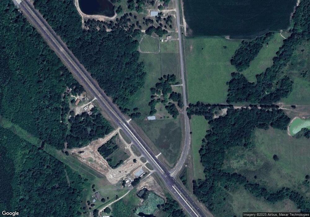
Map
Nearby Homes
- 102 Schley Church Rd
- 218 Gusty Rd
- 178 Cool Breeze Dr
- 378 Old S R 33
- 00 Rossman Dairy Rd
- 3233 Sylvester Dr
- 1791 Funston Sigsbee Rd
- 107 30th Ave NW
- 372 Westwoods Dr Unit 21
- 15,23,27 29th Ave NW
- LOT 29 Merganser Ln
- LOT 32 Merganser Ln
- LOT 28 Merganser Ln
- LOT 26 Merganser Ln
- LOT 30 Merganser Ln
- LOT 39 Westwoods Dr
- LOT 1 Westwoods Dr
- LOT 23 Westwoods Dr
- LOT 35 Westwoods Dr
- LOT 36 Westwoods Dr
- 613 Old Albany Rd
- 2133 Ga Highway 133 N
- 2145 Ga Highway 133 N
- 2157 Ga Highway 133 N
- 2157 Georgia 133
- 786 Old Albany Rd
- 1949 Ga Highway 133 N
- 208 Earl Hall Rd
- 531 Old Albany Rd
- 1898 Ga Highway 133 N
- 179 Earl Hall Rd
- 1911 Ga Highway 133 N
- 540 Old Albany Rd
- 990 Mcelroy Rd
- 515 Old Albany Rd
- 201 Earl Hall Rd
- 262 Earl Hall Rd
- 219 Earl Hall Rd
- 1888 Ga Highway 133 N
- 877 Mcelroy Rd