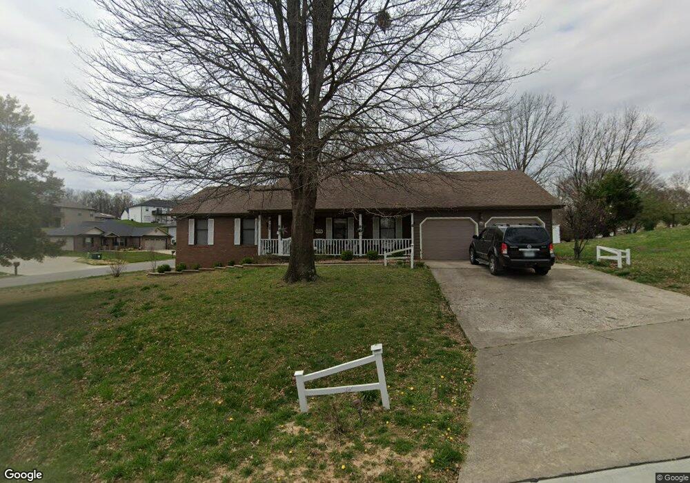
801 Pheasant Cove Dr Cape Girardeau, MO 63701
Estimated Value: $285,496 - $337,000
3
Beds
3
Baths
1,694
Sq Ft
$184/Sq Ft
Est. Value
About This Home
This home is located at 801 Pheasant Cove Dr, Cape Girardeau, MO 63701 and is currently estimated at $311,374, approximately $183 per square foot. 801 Pheasant Cove Dr is a home with nearby schools including Clippard Elementary School, Central Junior High School, and Central Middle School.
Ownership History
Date
Name
Owned For
Owner Type
Purchase Details
Closed on
Jan 24, 2005
Sold by
Clark Bobby G and Clark Jane K
Bought by
Long Dennis W and Long Bertha Sue
Current Estimated Value
Home Financials for this Owner
Home Financials are based on the most recent Mortgage that was taken out on this home.
Original Mortgage
$124,000
Outstanding Balance
$62,737
Interest Rate
5.68%
Mortgage Type
New Conventional
Estimated Equity
$248,637
Create a Home Valuation Report for This Property
The Home Valuation Report is an in-depth analysis detailing your home's value as well as a comparison with similar homes in the area
Home Values in the Area
Average Home Value in this Area
Purchase History
| Date | Buyer | Sale Price | Title Company |
|---|---|---|---|
| Long Dennis W | -- | None Available |
Source: Public Records
Mortgage History
| Date | Status | Borrower | Loan Amount |
|---|---|---|---|
| Open | Long Dennis W | $124,000 |
Source: Public Records
Tax History Compared to Growth
Tax History
| Year | Tax Paid | Tax Assessment Tax Assessment Total Assessment is a certain percentage of the fair market value that is determined by local assessors to be the total taxable value of land and additions on the property. | Land | Improvement |
|---|---|---|---|---|
| 2025 | $19 | $37,430 | $5,420 | $32,010 |
| 2024 | $19 | $35,650 | $5,160 | $30,490 |
| 2023 | $1,853 | $35,650 | $5,160 | $30,490 |
| 2022 | $1,709 | $32,860 | $4,760 | $28,100 |
| 2021 | $1,709 | $32,860 | $4,760 | $28,100 |
| 2020 | $1,714 | $32,860 | $4,760 | $28,100 |
| 2019 | $1,711 | $32,860 | $0 | $0 |
| 2018 | $1,708 | $32,860 | $0 | $0 |
| 2017 | $1,712 | $32,860 | $0 | $0 |
| 2016 | $1,705 | $32,860 | $0 | $0 |
| 2015 | $1,706 | $32,860 | $0 | $0 |
| 2014 | $1,715 | $32,860 | $0 | $0 |
Source: Public Records
Map
Nearby Homes
- 3552 Mill View Crossing
- 725 Old Mill Dr
- 901 Pheasant Cove Dr
- 807 Caribou Ct
- 3657 Engram St
- 3269 Hopper Rd
- 3109 Westfield Dr
- 3014 Keystone Dr
- 1000 N Mount Auburn Rd
- 3036 Keystone Dr
- 3027 Wisteria Dr
- 3022 Wisteria Dr
- 3106 Mimosa St
- 3046 Beavercreek Dr
- 3022 Beavercreek Dr
- 835 Lochinvar Ln
- 769 Cedar Ln
- 3814 Carolewood Dr
- 1070 Dorothy St
- 1107 Dorothy St
- 3506 Old Hopper Rd
- 806 Pheasant Cove Dr
- 807 Pheasant Cove Dr
- 3503 Old Hopper Rd
- 3440 Old Hopper Rd
- 3505 Old Hopper Rd
- 3617 Collins Mill Rd
- 3629 Collins Mill Rd
- 3621 Collins Mill Rd
- 3509 Old Hopper Rd
- 3435 Old Hopper Rd
- 810 Pheasant Cove Dr
- 3608 Collins Mill Rd
- 3511 Old Hopper Rd
- 811 Pheasant Cove Dr
- 3514 Old Hopper Rd
- 3558 Millview Crossing
- 3513 Old Hopper Rd
- 814 Pheasant Cove Dr
- 815 Pheasant Cove Dr