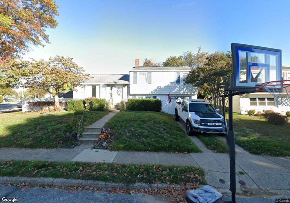
801 Rennard Cir Philadelphia, PA 19116
Somerton NeighborhoodEstimated Value: $471,729 - $517,000
--
Bed
--
Bath
1,810
Sq Ft
$272/Sq Ft
Est. Value
About This Home
This home is located at 801 Rennard Cir, Philadelphia, PA 19116 and is currently estimated at $491,932, approximately $271 per square foot. 801 Rennard Cir is a home located in Philadelphia County with nearby schools including Loesche William H School, CCA Baldi Middle School, and George Washington High School.
Ownership History
Date
Name
Owned For
Owner Type
Purchase Details
Closed on
May 25, 2006
Sold by
Fulton Robert D
Bought by
Springer Ronald and Springer Josette
Current Estimated Value
Home Financials for this Owner
Home Financials are based on the most recent Mortgage that was taken out on this home.
Original Mortgage
$240,000
Outstanding Balance
$139,427
Interest Rate
6.55%
Mortgage Type
Purchase Money Mortgage
Estimated Equity
$352,505
Purchase Details
Closed on
Oct 28, 1994
Sold by
Walton E Estelle
Bought by
Fulton Robert D
Create a Home Valuation Report for This Property
The Home Valuation Report is an in-depth analysis detailing your home's value as well as a comparison with similar homes in the area
Home Values in the Area
Average Home Value in this Area
Purchase History
| Date | Buyer | Sale Price | Title Company |
|---|---|---|---|
| Springer Ronald | $300,000 | Lawyers Title Insurance Co | |
| Fulton Robert D | $124,900 | -- |
Source: Public Records
Mortgage History
| Date | Status | Borrower | Loan Amount |
|---|---|---|---|
| Open | Springer Ronald | $240,000 |
Source: Public Records
Tax History Compared to Growth
Tax History
| Year | Tax Paid | Tax Assessment Tax Assessment Total Assessment is a certain percentage of the fair market value that is determined by local assessors to be the total taxable value of land and additions on the property. | Land | Improvement |
|---|---|---|---|---|
| 2026 | $5,129 | $455,700 | $91,140 | $364,560 |
| 2025 | $5,129 | $455,700 | $91,140 | $364,560 |
| 2024 | $5,129 | $455,700 | $91,140 | $364,560 |
| 2023 | $5,129 | $366,400 | $73,280 | $293,120 |
| 2022 | $3,383 | $321,400 | $73,280 | $248,120 |
| 2021 | $4,013 | $0 | $0 | $0 |
| 2020 | $4,013 | $0 | $0 | $0 |
| 2019 | $3,842 | $0 | $0 | $0 |
| 2018 | $3,837 | $0 | $0 | $0 |
| 2017 | $3,837 | $0 | $0 | $0 |
| 2016 | $3,417 | $0 | $0 | $0 |
| 2015 | $3,271 | $0 | $0 | $0 |
| 2014 | -- | $274,100 | $161,118 | $112,982 |
| 2012 | -- | $32,608 | $10,639 | $21,969 |
Source: Public Records
Map
Nearby Homes
- 807 Larkspur St
- 808 Densmore Rd
- 818 Burgess St
- 825 Delray St
- 813 Piermont St
- 11902 Barlow St
- 1104 Welton St
- 11933 Stevens Rd
- 509 Larkspur St
- 441 Tomlinson Rd Unit F6
- 11003 Stevens Rd
- 11715 Jeanes St
- 11022 Ferndale St
- 11243 Jeanes Place
- 859 Selmer Rd
- 10752 Jeanes St
- 11012 Audubon Ave
- 10236 Selmer Terrace
- 770 Selmer Rd
- 10236 Jeanes St