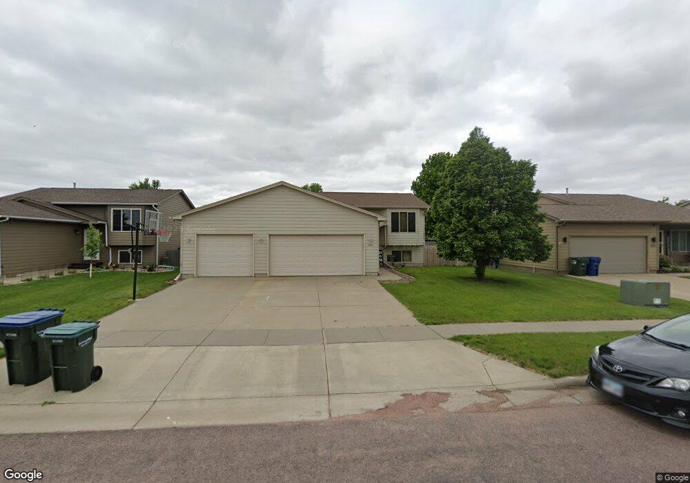
801 S Whitewood Ave Sioux Falls, SD 57106
Northwest Sioux Falls NeighborhoodEstimated Value: $305,000 - $357,000
3
Beds
2
Baths
1,466
Sq Ft
$221/Sq Ft
Est. Value
About This Home
This home is located at 801 S Whitewood Ave, Sioux Falls, SD 57106 and is currently estimated at $323,421, approximately $220 per square foot. 801 S Whitewood Ave is a home located in Minnehaha County with nearby schools including Discovery Elementary School, Memorial Middle School, and Jefferson High School - 67.
Ownership History
Date
Name
Owned For
Owner Type
Purchase Details
Closed on
Jul 19, 2013
Sold by
Cain Charles W and Cain Emily A
Bought by
Arntz Mary E and Arntz Joshua B
Current Estimated Value
Home Financials for this Owner
Home Financials are based on the most recent Mortgage that was taken out on this home.
Original Mortgage
$148,265
Outstanding Balance
$109,299
Interest Rate
4.25%
Mortgage Type
FHA
Estimated Equity
$214,122
Create a Home Valuation Report for This Property
The Home Valuation Report is an in-depth analysis detailing your home's value as well as a comparison with similar homes in the area
Home Values in the Area
Average Home Value in this Area
Purchase History
| Date | Buyer | Sale Price | Title Company |
|---|---|---|---|
| Arntz Mary E | $151,000 | -- |
Source: Public Records
Mortgage History
| Date | Status | Borrower | Loan Amount |
|---|---|---|---|
| Open | Arntz Mary E | $148,265 |
Source: Public Records
Tax History Compared to Growth
Tax History
| Year | Tax Paid | Tax Assessment Tax Assessment Total Assessment is a certain percentage of the fair market value that is determined by local assessors to be the total taxable value of land and additions on the property. | Land | Improvement |
|---|---|---|---|---|
| 2024 | $3,625 | $266,700 | $28,600 | $238,100 |
| 2023 | $3,474 | $245,800 | $28,600 | $217,200 |
| 2022 | $3,431 | $229,100 | $28,600 | $200,500 |
| 2021 | $2,756 | $198,700 | $0 | $0 |
| 2020 | $2,756 | $175,500 | $0 | $0 |
| 2019 | $2,620 | $163,628 | $0 | $0 |
| 2018 | $2,411 | $160,232 | $0 | $0 |
| 2017 | $2,310 | $151,114 | $27,788 | $123,326 |
| 2016 | $2,310 | $144,680 | $27,788 | $116,892 |
| 2015 | $2,270 | $136,700 | $26,243 | $110,457 |
| 2014 | $2,229 | $135,596 | $26,243 | $109,353 |
Source: Public Records
Map
Nearby Homes
- 7805 W Noah Cir
- 7809 W Stoney Creek St
- 604 S Mary Gene Ave
- 1200 S Monticello Ave
- 8709 W Rathburn St
- 8008 W Browning St
- 501 S Mary Gene Ave
- 521 S Big Stone Ave
- 1301 Hyannis Port Ln
- 1315 S President Ct
- 7524 W Boysenberry St
- 1209 S Discovery Ave
- 1501 S Wheatland Ave
- 8905 W 18th St
- 7517 W 15th St
- 7512 W Stoney Creek St
- 8605 W Bryggen Ct
- 1612 S Meadowland Ave
- 1405 S Maria Ave
- 1500 S Kathryn Ave
- 805 S Whitewood Ave
- 725 S Whitewood Ave
- 809 S Whitewood Ave
- 812 S Wheatland Ave
- 721 S Whitewood Ave
- 808 S Wheatland Ave
- 816 S Wheatland Ave
- 800 S Whitewood Ave
- 804 S Wheatland Ave
- 720 S Whitewood Ave
- 804 S Whitewood Ave
- 813 S Whitewood Ave
- 820 S Wheatland Ave
- 717 S Whitewood Ave
- 800 S Wheatland Ave
- 808 S Whitewood Ave
- 716 S Whitewood Ave
- 824 S Wheatland Ave
- 817 S Whitewood Ave
- 713 S Whitewood Ave