801 W 2nd St Sheridan, IN 46069
Estimated Value: $176,000 - $231,000
2
Beds
1
Bath
1,050
Sq Ft
$187/Sq Ft
Est. Value
About This Home
This home is located at 801 W 2nd St, Sheridan, IN 46069 and is currently estimated at $196,798, approximately $187 per square foot. 801 W 2nd St is a home located in Hamilton County with nearby schools including Sheridan Elementary School, Sheridan Middle School, and Sheridan High School.
Ownership History
Date
Name
Owned For
Owner Type
Purchase Details
Closed on
Mar 25, 2022
Sold by
Unknown
Bought by
Roberts Christopher Todd
Current Estimated Value
Home Financials for this Owner
Home Financials are based on the most recent Mortgage that was taken out on this home.
Original Mortgage
$135,000
Outstanding Balance
$108,580
Interest Rate
2.93%
Mortgage Type
New Conventional
Estimated Equity
$88,218
Purchase Details
Closed on
Jun 26, 2007
Sold by
Rector Donald
Bought by
Don & Mary Rector Family Lp
Create a Home Valuation Report for This Property
The Home Valuation Report is an in-depth analysis detailing your home's value as well as a comparison with similar homes in the area
Home Values in the Area
Average Home Value in this Area
Purchase History
| Date | Buyer | Sale Price | Title Company |
|---|---|---|---|
| Roberts Christopher Todd | -- | Chicago Title | |
| Roberts Christopher Todd | $160,000 | Chicago Title | |
| Don & Mary Rector Family Lp | -- | None Available | |
| Don & Mary Rector Family Lp | -- | None Available |
Source: Public Records
Mortgage History
| Date | Status | Borrower | Loan Amount |
|---|---|---|---|
| Open | Roberts Christopher Todd | $135,000 | |
| Closed | Roberts Christopher Todd | $135,000 |
Source: Public Records
Tax History Compared to Growth
Tax History
| Year | Tax Paid | Tax Assessment Tax Assessment Total Assessment is a certain percentage of the fair market value that is determined by local assessors to be the total taxable value of land and additions on the property. | Land | Improvement |
|---|---|---|---|---|
| 2024 | $1,240 | $123,300 | $35,100 | $88,200 |
| 2023 | $1,265 | $121,100 | $35,100 | $86,000 |
| 2022 | $1,274 | $114,400 | $35,100 | $79,300 |
| 2021 | $1,112 | $99,800 | $35,100 | $64,700 |
| 2020 | $1,103 | $99,400 | $35,100 | $64,300 |
| 2019 | $899 | $87,100 | $13,000 | $74,100 |
| 2018 | $820 | $82,800 | $13,000 | $69,800 |
| 2017 | $708 | $77,700 | $13,000 | $64,700 |
| 2016 | $688 | $78,200 | $13,000 | $65,200 |
| 2014 | $585 | $64,600 | $11,300 | $53,300 |
| 2013 | $585 | $64,600 | $11,300 | $53,300 |
Source: Public Records
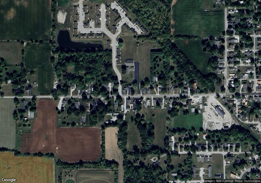
Map
Nearby Homes
- 0 Basil Ln
- 405 W 3rd St
- 707 S Hamilton Ave
- 390 W State Road 38
- 414 Elm Ave
- 4051 W State Road 38
- 407 W 8th St
- 3936 W State Road 47
- 400 S Georgia St
- 600 S Georgia St
- 903&905 S Georgia St
- 3357 Godby Dr
- 24500 Jerkwater Rd
- 3375 Godby Dr
- 1102 Maple Run Dr
- 3352 Godby Dr
- 3310 Godby St
- 3369 Godby St
- 907 S Ohio St
- 3328 Godby Dr