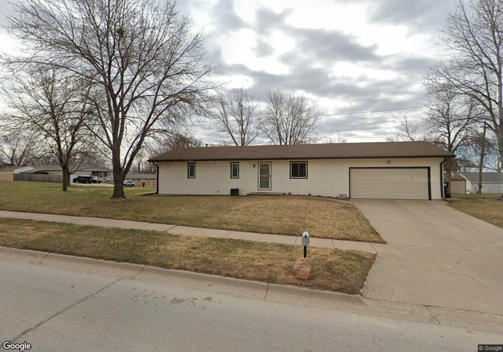
801 W Dawes Ave Lincoln, NE 68521
Northwest Lincoln NeighborhoodEstimated Value: $253,000 - $275,000
3
Beds
3
Baths
1,652
Sq Ft
$158/Sq Ft
Est. Value
About This Home
This home is located at 801 W Dawes Ave, Lincoln, NE 68521 and is currently estimated at $261,086, approximately $158 per square foot. 801 W Dawes Ave is a home located in Lancaster County with nearby schools including West Lincoln Elementary School, Goodrich Middle School, and North Star High School.
Ownership History
Date
Name
Owned For
Owner Type
Purchase Details
Closed on
Mar 21, 2008
Sold by
Larson Rodney L and Garrison Leanne L
Bought by
Larson Rodney L
Current Estimated Value
Home Financials for this Owner
Home Financials are based on the most recent Mortgage that was taken out on this home.
Original Mortgage
$123,830
Outstanding Balance
$77,061
Interest Rate
5.72%
Mortgage Type
FHA
Estimated Equity
$184,025
Purchase Details
Closed on
Aug 30, 2000
Sold by
Ryan Lori L
Bought by
Larson Rodney L and Garrison Leanne L
Home Financials for this Owner
Home Financials are based on the most recent Mortgage that was taken out on this home.
Original Mortgage
$116,400
Interest Rate
8.21%
Mortgage Type
FHA
Purchase Details
Closed on
Feb 19, 1999
Sold by
Ryan Ronald L
Bought by
Ryan Lori L
Create a Home Valuation Report for This Property
The Home Valuation Report is an in-depth analysis detailing your home's value as well as a comparison with similar homes in the area
Home Values in the Area
Average Home Value in this Area
Purchase History
| Date | Buyer | Sale Price | Title Company |
|---|---|---|---|
| Larson Rodney L | $64,000 | Ct | |
| Larson Rodney L | $117,000 | -- | |
| Ryan Lori L | -- | -- |
Source: Public Records
Mortgage History
| Date | Status | Borrower | Loan Amount |
|---|---|---|---|
| Open | Larson Rodney L | $123,830 | |
| Previous Owner | Larson Rodney L | $116,400 |
Source: Public Records
Tax History Compared to Growth
Tax History
| Year | Tax Paid | Tax Assessment Tax Assessment Total Assessment is a certain percentage of the fair market value that is determined by local assessors to be the total taxable value of land and additions on the property. | Land | Improvement |
|---|---|---|---|---|
| 2025 | $2,969 | $242,700 | $58,500 | $184,200 |
| 2024 | $2,969 | $214,800 | $45,500 | $169,300 |
| 2023 | $3,600 | $214,800 | $45,500 | $169,300 |
| 2022 | $3,366 | $168,900 | $32,500 | $136,400 |
| 2021 | $3,185 | $168,900 | $32,500 | $136,400 |
| 2020 | $2,818 | $147,500 | $32,500 | $115,000 |
| 2019 | $2,819 | $147,500 | $32,500 | $115,000 |
| 2018 | $2,445 | $127,400 | $32,500 | $94,900 |
| 2017 | $2,468 | $127,400 | $32,500 | $94,900 |
| 2016 | $2,455 | $126,100 | $32,500 | $93,600 |
| 2015 | $2,439 | $126,100 | $32,500 | $93,600 |
| 2014 | $2,532 | $130,200 | $32,500 | $97,700 |
| 2013 | -- | $130,200 | $32,500 | $97,700 |
Source: Public Records
Map
Nearby Homes
- 2500 NW 8th St
- 730 W Dawes Ave
- 2330 N Main St
- 2503 NW 6th St
- 2808 NW 7th St
- 431 W Belmont Ave
- 3100 NW 7th St
- 455 Laramie Trail
- 122 W Saunders Ave
- 1330 Pelican Bay Place
- 3241 Mickaela Ln
- 221 Mormon Trail
- 635 W Fairfield St
- 205 W Treehaven Dr
- 709 Pier 3
- 600 Pier 2
- 1715 W Trout Dr
- 241 W Irving St
- 406 Knox St
- 239 W Irving St Unit Portfolio
- 2443 NW 8th St
- 831 W Dawes Ave
- 2442 NW 9th St
- 800 W Dawes Ave
- 810 W Dawes Ave
- 2424 NW 9th St
- 741 W Dawes Ave
- 2401 NW 8th St
- 820 W Dawes Ave
- 2515 NW 8th St
- 2430 NW 8th St
- 830 W Dawes Ave
- 2400 NW 9th St
- 731 W Dawes Ave
- 2514 NW 9th St
- 2521 NW 8th St
- 742 W Saunders Ave
- 2516 NW 8th St
- 2520 NW 9th St
- 901 W Dawes Ave