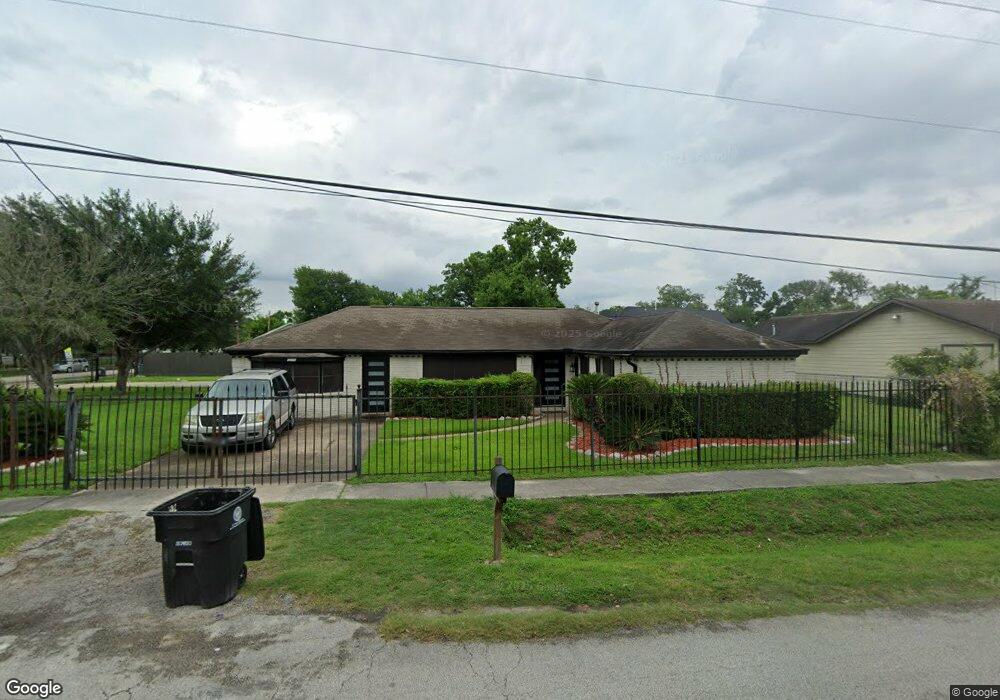
8010 Lawn St Houston, TX 77088
Acres Homes NeighborhoodEstimated Value: $282,082 - $339,000
4
Beds
3
Baths
2,116
Sq Ft
$149/Sq Ft
Est. Value
About This Home
This home is located at 8010 Lawn St, Houston, TX 77088 and is currently estimated at $316,021, approximately $149 per square foot. 8010 Lawn St is a home located in Harris County with nearby schools including Osborne Elementary School, Williams Middle, and Booker T Washington Sr High.
Ownership History
Date
Name
Owned For
Owner Type
Purchase Details
Closed on
Mar 22, 2000
Sold by
Lewis Esther
Bought by
Sears Elnita C
Current Estimated Value
Home Financials for this Owner
Home Financials are based on the most recent Mortgage that was taken out on this home.
Original Mortgage
$53,350
Outstanding Balance
$18,172
Interest Rate
8.36%
Estimated Equity
$297,849
Create a Home Valuation Report for This Property
The Home Valuation Report is an in-depth analysis detailing your home's value as well as a comparison with similar homes in the area
Home Values in the Area
Average Home Value in this Area
Purchase History
| Date | Buyer | Sale Price | Title Company |
|---|---|---|---|
| Sears Elnita C | -- | Stewart Title |
Source: Public Records
Mortgage History
| Date | Status | Borrower | Loan Amount |
|---|---|---|---|
| Open | Sears Elnita C | $53,350 | |
| Closed | Sears Elnita C | $3,500 |
Source: Public Records
Tax History Compared to Growth
Tax History
| Year | Tax Paid | Tax Assessment Tax Assessment Total Assessment is a certain percentage of the fair market value that is determined by local assessors to be the total taxable value of land and additions on the property. | Land | Improvement |
|---|---|---|---|---|
| 2025 | $4,265 | $376,928 | $147,600 | $229,328 |
| 2024 | $4,265 | $323,509 | $147,600 | $175,909 |
| 2023 | $4,265 | $315,013 | $147,600 | $167,413 |
| 2022 | $5,571 | $289,570 | $115,200 | $174,370 |
| 2021 | $5,619 | $253,725 | $75,600 | $178,125 |
| 2020 | $5,307 | $224,268 | $64,800 | $159,468 |
| 2019 | $5,042 | $219,717 | $57,600 | $162,117 |
| 2018 | $3,383 | $185,121 | $32,400 | $152,721 |
| 2017 | $4,164 | $164,666 | $21,600 | $143,066 |
| 2016 | $4,164 | $164,666 | $21,600 | $143,066 |
| 2015 | $3,056 | $156,507 | $21,600 | $134,907 |
| 2014 | $3,056 | $156,507 | $21,600 | $134,907 |
Source: Public Records
Map
Nearby Homes
- 765 Enterprise St Unit D
- 766 Fortune St
- 813 Fortune St
- 798 Fair St
- 776 Fair St
- 829 Fair St
- 769 Marjorie St
- 854 Junell St
- 0 Prosper St
- 771 Prosper St
- 0 Marjorie
- 830 Ringold St
- 958 Ringold St
- 961 Ringold St
- 8310 Williamsdell St
- 8314 De Priest St
- 851 Prosper St
- 882 Fortune St
- 853 Prosper St
- 855 Prosper St
- 781 Ringold St
- 783 Ringold St
- 788 Enterprise St
- 804 Enterprise St
- 803 Ringold St
- 8007 Lawn St
- 8007 Lawn St Unit B
- 8007 Lawn St Unit A
- 784 Enterprise St
- 780 Enterprise St
- 779 Ringold St
- 805 Ringold St
- 782 Enterprise St
- 778 Enterprise St
- 806 Enterprise St
- 776 Enterprise St
- 775 Ringold St
- 789 Enterprise St
- 808 Enterprise St
- 770 Enterprise St