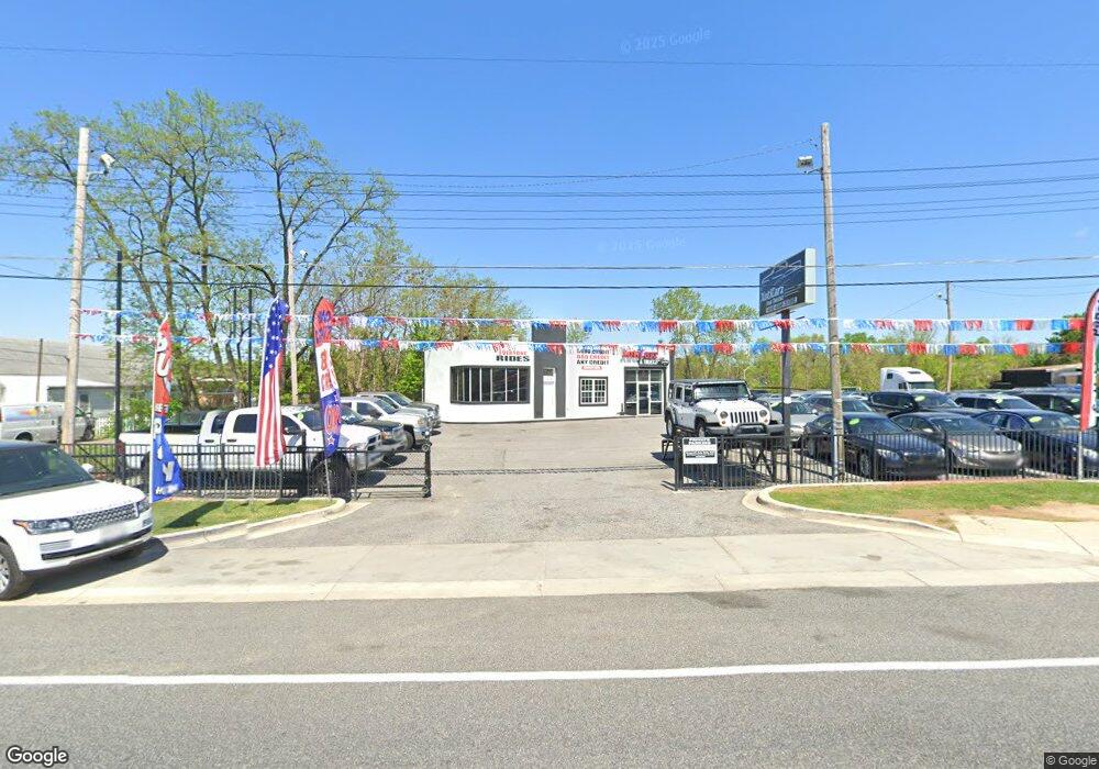
8012 Pulaski Hwy Baltimore, MD 21237
Estimated Value: $429,404
--
Bed
--
Bath
1,242
Sq Ft
$346/Sq Ft
Est. Value
About This Home
This home is located at 8012 Pulaski Hwy, Baltimore, MD 21237 and is currently estimated at $429,404, approximately $345 per square foot. 8012 Pulaski Hwy is a home located in Baltimore County with nearby schools including Red House Run Elementary School, Golden Ring Middle School, and Overlea High School.
Ownership History
Date
Name
Owned For
Owner Type
Purchase Details
Closed on
Mar 4, 2010
Sold by
Donna-Mite Llc
Bought by
1200 Belcamp Road Llc
Current Estimated Value
Purchase Details
Closed on
Mar 28, 2007
Sold by
Ainsworth Michael Thomas
Purchase Details
Closed on
Mar 20, 2007
Sold by
Ainsworth Michael Thomas
Purchase Details
Closed on
Dec 30, 1999
Sold by
Mabudian Mehrdad
Bought by
Ainsworth Michael Thomas and Ainsworth Donna Marie
Purchase Details
Closed on
Apr 28, 1995
Sold by
Stevens John
Bought by
Mabudian Mehrdad
Create a Home Valuation Report for This Property
The Home Valuation Report is an in-depth analysis detailing your home's value as well as a comparison with similar homes in the area
Home Values in the Area
Average Home Value in this Area
Purchase History
| Date | Buyer | Sale Price | Title Company |
|---|---|---|---|
| 1200 Belcamp Road Llc | $260,000 | -- | |
| -- | -- | -- | |
| -- | -- | -- | |
| Ainsworth Michael Thomas | $299,000 | -- | |
| Mabudian Mehrdad | $225,000 | -- |
Source: Public Records
Tax History Compared to Growth
Tax History
| Year | Tax Paid | Tax Assessment Tax Assessment Total Assessment is a certain percentage of the fair market value that is determined by local assessors to be the total taxable value of land and additions on the property. | Land | Improvement |
|---|---|---|---|---|
| 2025 | $7,062 | $546,033 | -- | -- |
| 2024 | $7,062 | $538,467 | $0 | $0 |
| 2023 | $3,558 | $530,900 | $420,200 | $110,700 |
| 2022 | $7,086 | $528,367 | $0 | $0 |
| 2021 | $6,841 | $525,833 | $0 | $0 |
| 2020 | $6,841 | $523,300 | $420,200 | $103,100 |
| 2019 | $6,714 | $521,800 | $0 | $0 |
| 2018 | $7,134 | $520,300 | $0 | $0 |
| 2017 | $6,781 | $518,800 | $0 | $0 |
| 2016 | $6,329 | $515,933 | $0 | $0 |
| 2015 | $6,329 | $513,067 | $0 | $0 |
| 2014 | $6,329 | $510,200 | $0 | $0 |
Source: Public Records
Map
Nearby Homes
- 8100 Old Philadelphia Rd
- 8029 Duvall Ave
- 7932 Philadelphia Rd
- 1309 Rosewick Ave
- 1236 Primrose Ave
- 0 Sumter Ave
- Lot #133/Lot #134 Sumter Ave
- 1015 Sumter Ave
- 8006 Woodhaven Ct
- 1329 Pine Grove Ave
- 8102 Sumter Ave
- 8105 Woodhaven Rd
- 1202 Rosegate Ct
- 1239 Hilldale Rd
- 1535 Rosewick Ave
- 8205 Dorset Ave
- 1229 Berkwood Rd
- 2000 Longview Ct
- 8300 Berkwood Ct
- 1206 Gettig Rd
- 8010 Pulaski Hwy
- 8002 Pulaski Hwy
- 8014 Pulaski Hwy
- 8000 Pulaski Hwy
- 8034 Pulaski Hwy
- 1207 Chesaco Ave
- 8001 Pulaski Hwy
- 1205 White Ave
- 1207 White Ave
- 1209 White Ave
- 8005 Pulaski Hwy
- 1211 White Ave
- 1211 White Ave Unit H
- 1211H White Ave
- 1124 Chesaco Ave
- 1220 Chesaco Ave
- 1213 White Ave
- 8013 Old Philadelphia Rd
- 8015 Old Philadelphia Rd
- 1205 Chesaco Ave
