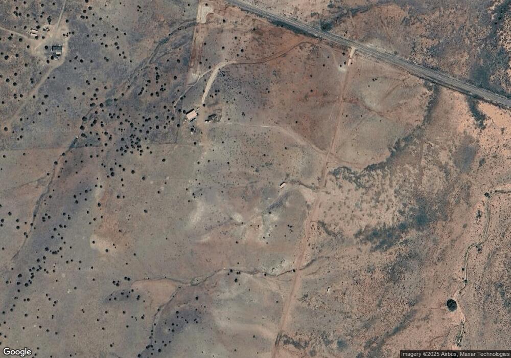
8013 Hc 65 Concho, AZ 85924
Estimated Value: $124,000
--
Bed
--
Bath
720
Sq Ft
$172/Sq Ft
Est. Value
About This Home
This home is located at 8013 Hc 65, Concho, AZ 85924 and is currently priced at $124,000, approximately $172 per square foot. 8013 Hc 65 is a home located in Apache County.
Ownership History
Date
Name
Owned For
Owner Type
Purchase Details
Closed on
Aug 24, 2021
Sold by
Chiarello Joseph
Bought by
Jmc Land Llc
Current Estimated Value
Purchase Details
Closed on
May 14, 2021
Sold by
Crownover Paul and Crownover Danielle
Bought by
Chiarello Joey
Purchase Details
Closed on
Oct 26, 2017
Sold by
Dawson Pamela I
Bought by
Crownover Paul and Crownover Danielle
Home Financials for this Owner
Home Financials are based on the most recent Mortgage that was taken out on this home.
Original Mortgage
$45,000
Interest Rate
3.78%
Mortgage Type
Seller Take Back
Purchase Details
Closed on
Jul 11, 2014
Sold by
Antrim Cynthia Ann
Bought by
Dawson Pamela I
Purchase Details
Closed on
Aug 12, 2008
Sold by
Dawson Frank D and Dawson Pamela I
Bought by
Antrim Cynthia Ann
Home Financials for this Owner
Home Financials are based on the most recent Mortgage that was taken out on this home.
Original Mortgage
$140,000
Interest Rate
6.59%
Mortgage Type
Seller Take Back
Create a Home Valuation Report for This Property
The Home Valuation Report is an in-depth analysis detailing your home's value as well as a comparison with similar homes in the area
Home Values in the Area
Average Home Value in this Area
Purchase History
| Date | Buyer | Sale Price | Title Company |
|---|---|---|---|
| Jmc Land Llc | -- | None Available | |
| Chiarello Joey | $60,000 | Yavapai Title Agency Inc | |
| Crownover Paul | $55,000 | Pioneer Title Agency Inc | |
| Dawson Pamela I | -- | Pioneer Title Agency Inc | |
| Antrim Cynthia Ann | $160,000 | Pioneer Title Agency Inc |
Source: Public Records
Mortgage History
| Date | Status | Borrower | Loan Amount |
|---|---|---|---|
| Previous Owner | Crownover Paul | $45,000 | |
| Previous Owner | Antrim Cynthia Ann | $140,000 |
Source: Public Records
Tax History Compared to Growth
Tax History
| Year | Tax Paid | Tax Assessment Tax Assessment Total Assessment is a certain percentage of the fair market value that is determined by local assessors to be the total taxable value of land and additions on the property. | Land | Improvement |
|---|---|---|---|---|
| 2023 | $628 | $0 | $0 | $0 |
| 2022 | $628 | $6,781 | $0 | $0 |
| 2021 | $627 | $6,422 | $0 | $0 |
| 2020 | $627 | $6,154 | $0 | $0 |
| 2019 | $657 | $6,103 | $0 | $0 |
| 2018 | $657 | $5,765 | $0 | $0 |
| 2017 | $628 | $6,192 | $0 | $0 |
| 2016 | $227 | $7,089 | $0 | $0 |
| 2015 | $227 | $7,089 | $0 | $0 |
| 2014 | $227 | $6,537 | $2,350 | $4,187 |
Source: Public Records
Map
Nearby Homes
- 83 8012
- 69 County Rd Unit 5054
- 15 N8641
- 48 County Rd N8339 --
- 52 Acr 8010 --
- 46 County Rd N8339 --
- 52 Co Rd Unit 8008
- 41 Antelope Rd
- 0 County Rd N3440 Unit 255992
- 54 County Road 8001
- TBD County Rd N3440 -- Unit 42
- 24 County Road 8009
- TBD Unit 6
- 21 & 23 County Road 8001
- 21 & 23 County Road 8001 -- Unit 277 & 278
- 26 County Road 8006 Rd
- 0 County Road 8500 Unit Parcel No. 201-79-03
- TBD 4 8 Acres Windsor Valley Ranch -- Unit 32
- 38 8626
- 30 County Rd Unit 8231
