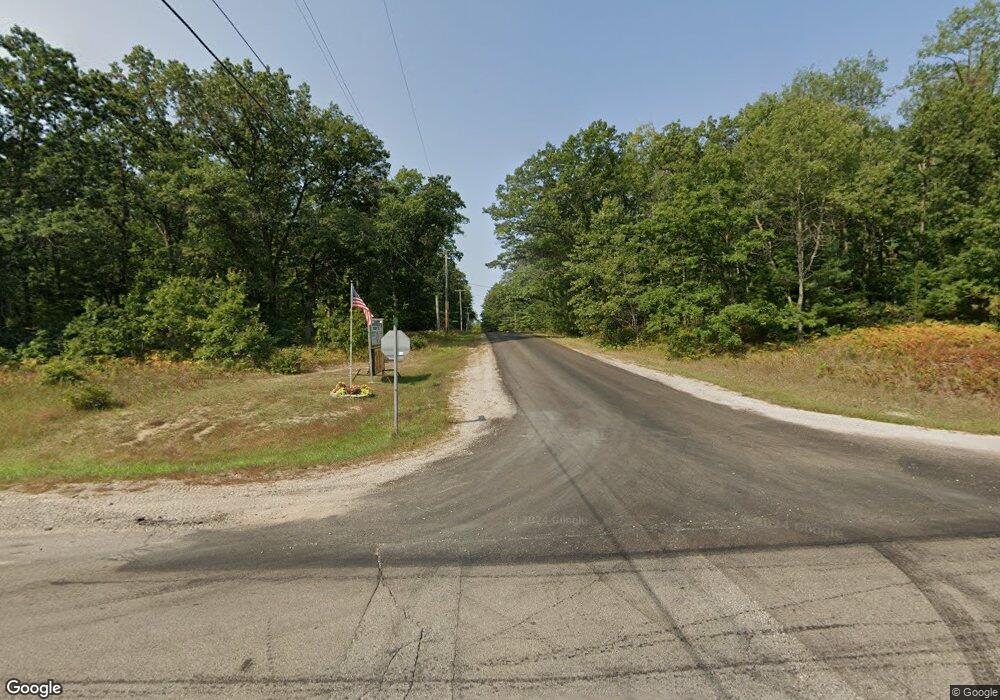
8015 W Ausable Rd Roscommon, MI 48653
Estimated Value: $228,998 - $318,000
2
Beds
2
Baths
1,488
Sq Ft
$185/Sq Ft
Est. Value
About This Home
This home is located at 8015 W Ausable Rd, Roscommon, MI 48653 and is currently estimated at $275,500, approximately $185 per square foot. 8015 W Ausable Rd is a home located in Roscommon County with nearby schools including Roscommon Elementary School, Roscommon Middle School, and Roscommon High School.
Ownership History
Date
Name
Owned For
Owner Type
Purchase Details
Closed on
Oct 19, 2006
Sold by
Neil John W and Neil Carol L
Bought by
Mowery Daniel J and Mowery Debra A
Current Estimated Value
Home Financials for this Owner
Home Financials are based on the most recent Mortgage that was taken out on this home.
Original Mortgage
$123,200
Outstanding Balance
$73,678
Interest Rate
6.5%
Mortgage Type
New Conventional
Estimated Equity
$201,822
Create a Home Valuation Report for This Property
The Home Valuation Report is an in-depth analysis detailing your home's value as well as a comparison with similar homes in the area
Home Values in the Area
Average Home Value in this Area
Purchase History
| Date | Buyer | Sale Price | Title Company |
|---|---|---|---|
| Mowery Daniel J | $154,000 | Milltown Title & Escrow |
Source: Public Records
Mortgage History
| Date | Status | Borrower | Loan Amount |
|---|---|---|---|
| Open | Mowery Daniel J | $123,200 |
Source: Public Records
Tax History
| Year | Tax Paid | Tax Assessment Tax Assessment Total Assessment is a certain percentage of the fair market value that is determined by local assessors to be the total taxable value of land and additions on the property. | Land | Improvement |
|---|---|---|---|---|
| 2025 | $609 | $124,100 | $0 | $0 |
| 2024 | $6 | $116,600 | $0 | $0 |
| 2023 | $595 | $116,600 | $0 | $0 |
| 2022 | $1,405 | $80,000 | $0 | $0 |
| 2021 | $1,356 | $79,300 | $0 | $0 |
| 2020 | $1,331 | $91,700 | $0 | $0 |
| 2019 | $1,262 | $78,700 | $0 | $0 |
| 2018 | $1,231 | $66,000 | $0 | $0 |
| 2016 | $0 | $66,700 | $0 | $0 |
| 2015 | -- | $86,800 | $0 | $0 |
| 2014 | -- | $61,300 | $0 | $0 |
| 2013 | -- | $41,900 | $0 | $0 |
Source: Public Records
Map
Nearby Homes
- 111 Petoskey Dr
- 8404 N Dead Stream Rd
- 423 Mooncrest Dr
- 500 Mooncrest Dr
- 305 Summit Rd
- 411 Peach Rd
- 105 Marvin Rd
- 7937 Hillcrest Rd
- 8778 N Townline Rd
- 111 Short Ave
- 0 Pocahontas Dr Unit 6
- 9887 W Higgins Lake Dr
- 224 Elm Ave
- 255 Robbins Ave
- 127 Laingsburg Legion Dr
- 115 Saginaw Legion Dr
- 144 Garfield Blvd
- 0 Garfield Blvd Unit 20250006241
- 4901 River Rd
- 11088 W Higgins Lake Dr
- 8200 W Ausable Rd
- 8354 W Ausable Rd
- 8378 W Ausable Rd
- 8360 W Ausable Rd
- 8791 Little Joe Trail
- 8743 Little Joe Trail
- 8300 Au Sable Rd
- 8552 Little Joe Trail
- XXX Au Sable Rd
- 0000 Au Sable Rd
- XXXX Au Sable Rd
- 000 Au Sable Rd
- 8118 W Ausable Rd
- 0 Ausable Ridge Lots 78 & 79 Unit 201820454
- 8418 W Ausable Rd
- 8584 Little Joe Trail
- 8622 N Harrison Rd
- 8547 Little Joe Trail
- 8612 Little Joe Trail
- 8622 Little Joe Trail
