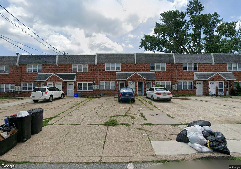
8017 Moro St Unit A Philadelphia, PA 19136
Holmesburg NeighborhoodEstimated Value: $273,000 - $289,408
--
Bed
--
Bath
2,000
Sq Ft
$141/Sq Ft
Est. Value
About This Home
This home is located at 8017 Moro St Unit A, Philadelphia, PA 19136 and is currently estimated at $282,803, approximately $141 per square foot. 8017 Moro St Unit A is a home located in Philadelphia County with nearby schools including Lincoln High School, Joseph H. Brown School, and Meehan Austin Middle School.
Ownership History
Date
Name
Owned For
Owner Type
Purchase Details
Closed on
Apr 24, 2017
Sold by
Zurbo Klementina and Zurbo Klemenda
Bought by
Zurbo Klementina
Current Estimated Value
Purchase Details
Closed on
Dec 1, 2015
Sold by
Rosen Joshua and Rosen Michele
Bought by
Zurbo Klemenda and Zurbo Vilson
Purchase Details
Closed on
Dec 5, 2012
Sold by
Martinez Gary R
Bought by
Rosen Joshua and Rosen Michele
Create a Home Valuation Report for This Property
The Home Valuation Report is an in-depth analysis detailing your home's value as well as a comparison with similar homes in the area
Home Values in the Area
Average Home Value in this Area
Purchase History
| Date | Buyer | Sale Price | Title Company |
|---|---|---|---|
| Zurbo Klementina | -- | None Available | |
| Zurbo Klemenda | $135,000 | None Available | |
| Rosen Joshua | $132,500 | None Available |
Source: Public Records
Tax History Compared to Growth
Tax History
| Year | Tax Paid | Tax Assessment Tax Assessment Total Assessment is a certain percentage of the fair market value that is determined by local assessors to be the total taxable value of land and additions on the property. | Land | Improvement |
|---|---|---|---|---|
| 2026 | $4,005 | $325,000 | $65,000 | $260,000 |
| 2025 | $4,005 | $325,000 | $65,000 | $260,000 |
| 2024 | $4,005 | $325,000 | $65,000 | $260,000 |
| 2023 | $4,005 | $286,100 | $57,220 | $228,880 |
| 2022 | $2,553 | $286,100 | $57,220 | $228,880 |
| 2021 | $2,553 | $0 | $0 | $0 |
| 2020 | $2,553 | $0 | $0 | $0 |
| 2019 | $2,391 | $0 | $0 | $0 |
| 2018 | $2,258 | $0 | $0 | $0 |
| 2017 | $2,258 | $0 | $0 | $0 |
| 2016 | $2,258 | $0 | $0 | $0 |
| 2015 | -- | $0 | $0 | $0 |
| 2014 | -- | $161,300 | $33,547 | $127,753 |
| 2012 | -- | $21,664 | $1,987 | $19,677 |
Source: Public Records
Map
Nearby Homes
- 3526 Welsh Rd
- 8011 Crispin St
- 3438 Decatur St
- 8056 Erdrick St
- 4128 Welsh Rd
- 8072 Erdrick St
- 4016 Decatur St
- 8088 Fairview St
- 3427 Arthur St
- 4228 Rhawn St
- 3414 Hartel Ave
- 4243 Frost St
- 4246 Rhawn St
- 4203 Hartel Ave
- 3216 Stanwood St
- 8209 Rowland Ave
- 3556 Meridian St
- 4314 Rhawn St
- 4228 Hartel Ave
- 3405 Sheffield St
- 8017 Moro St
- 8019 Moro St
- 8021 Moro St
- 8015 Moro St Unit B
- 8015 UNIT A Moro St
- 8015 Moro St
- 8015 Moro St Unit A
- 8015 Moro St Unit B 1FL
- 8015 Moro St Unit B 2 FL
- 8023 Moro St
- 8013 Moro St
- 8025 Moro St
- 8022 Craig St
- 8020 Craig St
- 8024 Craig St
- 8011 Moro St
- 8018 Craig St
- 8026 Craig St
- 8016 Craig St
- 8028 Craig St