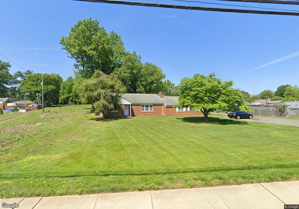
8017 Old Branch Ave Clinton, MD 20735
Estimated Value: $445,000 - $520,000
--
Bed
2
Baths
2,152
Sq Ft
$222/Sq Ft
Est. Value
About This Home
This home is located at 8017 Old Branch Ave, Clinton, MD 20735 and is currently estimated at $477,659, approximately $221 per square foot. 8017 Old Branch Ave is a home located in Prince George's County with nearby schools including James Ryder Randall Elementary School, Stephen Decatur Middle School, and Surrattsville High School.
Ownership History
Date
Name
Owned For
Owner Type
Purchase Details
Closed on
Jul 22, 2022
Sold by
Alfred Sands Jr John and Alfred Diane Kimverly
Bought by
Allen Everett Rene
Current Estimated Value
Home Financials for this Owner
Home Financials are based on the most recent Mortgage that was taken out on this home.
Original Mortgage
$455,840
Outstanding Balance
$435,216
Interest Rate
5.51%
Mortgage Type
VA
Estimated Equity
$42,443
Purchase Details
Closed on
Nov 9, 1983
Sold by
Woodard Maurice R
Bought by
Sands John A and Sands Kimverly D
Create a Home Valuation Report for This Property
The Home Valuation Report is an in-depth analysis detailing your home's value as well as a comparison with similar homes in the area
Home Values in the Area
Average Home Value in this Area
Purchase History
| Date | Buyer | Sale Price | Title Company |
|---|---|---|---|
| Allen Everett Rene | $440,000 | Markham Christopher | |
| Sands John A | $107,000 | -- |
Source: Public Records
Mortgage History
| Date | Status | Borrower | Loan Amount |
|---|---|---|---|
| Open | Allen Everett Rene | $455,840 |
Source: Public Records
Tax History Compared to Growth
Tax History
| Year | Tax Paid | Tax Assessment Tax Assessment Total Assessment is a certain percentage of the fair market value that is determined by local assessors to be the total taxable value of land and additions on the property. | Land | Improvement |
|---|---|---|---|---|
| 2024 | $6,691 | $423,433 | $0 | $0 |
| 2023 | $6,282 | $395,967 | $0 | $0 |
| 2022 | $5,874 | $368,500 | $113,400 | $255,100 |
| 2021 | $11,747 | $354,633 | $0 | $0 |
| 2020 | $5,462 | $340,767 | $0 | $0 |
| 2019 | $4,681 | $326,900 | $113,400 | $213,500 |
| 2018 | $4,735 | $303,567 | $0 | $0 |
| 2017 | $4,215 | $280,233 | $0 | $0 |
| 2016 | -- | $256,900 | $0 | $0 |
| 2015 | $3,467 | $252,467 | $0 | $0 |
| 2014 | $3,467 | $248,033 | $0 | $0 |
Source: Public Records
Map
Nearby Homes
- 6005 Plata St
- 6009 Sellner Ln
- 6004 Butterfield Dr
- 5910 Arbroath Dr
- 5900 Arbroath Dr
- 8305 Joan Place
- 8406 Cinema Ct
- 6109 Kirby Rd
- 5916 Chris Mar Ave
- 6006 Runnymeade Ave
- 6410 Woodley Rd
- 7308 Berkshire Dr
- 8817 Mimosa Ave
- 5604 Chris Mar Ave
- 6610 Bullrush Ct
- 8760 Mimosa Ave
- 8811 Crossbill Rd
- 8910 Hardesty Dr
- 9003 Woodyard Rd
- 5409 San Juan Dr
- 8009 Old Branch Ave
- 8101 Old Branch Ave
- 8007 Old Branch Ave
- 6204 Mardella Blvd
- 8023 Old Branch Ave
- 6200 Mardella Blvd
- 6301 Manor Circle Dr
- 6120 Mardella Blvd
- 6811 Old Branch Ave
- 8104 Old Branch Ave
- 8005 Old Branch Ave
- 8014 Old Branch Ave
- 6112 Mardella Blvd
- 6109 Manor Rd
- 6107 Manor Rd
- 6108 Mardella Blvd
- 6303 Manor Circle Dr
- 6105 Manor Rd
- 6111 Manor Rd
- 8106 Old Branch Ave