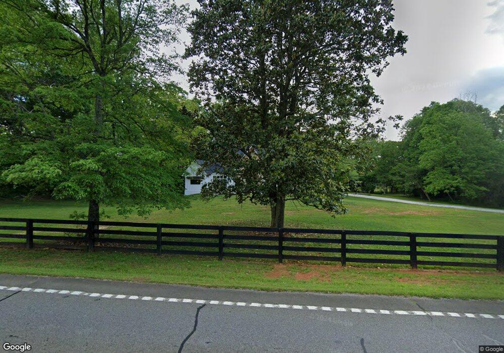
8018 Ball Ground Rd Cumming, GA 30028
Union Hill NeighborhoodEstimated Value: $944,000 - $1,057,589
3
Beds
1
Bath
3,150
Sq Ft
$319/Sq Ft
Est. Value
About This Home
This home is located at 8018 Ball Ground Rd, Cumming, GA 30028 and is currently estimated at $1,005,863, approximately $319 per square foot. 8018 Ball Ground Rd is a home located in Cherokee County with nearby schools including Free Home Elementary School, Creekland Middle School, and Creekview High School.
Ownership History
Date
Name
Owned For
Owner Type
Purchase Details
Closed on
Dec 16, 2005
Sold by
Stewart Jackie A
Bought by
Groover Earl and Cochran Ed
Current Estimated Value
Home Financials for this Owner
Home Financials are based on the most recent Mortgage that was taken out on this home.
Original Mortgage
$250,000
Interest Rate
6.21%
Mortgage Type
New Conventional
Create a Home Valuation Report for This Property
The Home Valuation Report is an in-depth analysis detailing your home's value as well as a comparison with similar homes in the area
Home Values in the Area
Average Home Value in this Area
Purchase History
| Date | Buyer | Sale Price | Title Company |
|---|---|---|---|
| Groover Earl | $242,000 | -- |
Source: Public Records
Mortgage History
| Date | Status | Borrower | Loan Amount |
|---|---|---|---|
| Closed | Groover Earl | $250,000 |
Source: Public Records
Tax History Compared to Growth
Tax History
| Year | Tax Paid | Tax Assessment Tax Assessment Total Assessment is a certain percentage of the fair market value that is determined by local assessors to be the total taxable value of land and additions on the property. | Land | Improvement |
|---|---|---|---|---|
| 2025 | $10,292 | $391,920 | $107,240 | $284,680 |
| 2024 | $8,946 | $344,240 | $92,560 | $251,680 |
| 2023 | $7,937 | $305,440 | $76,600 | $228,840 |
| 2022 | $6,133 | $233,360 | $73,400 | $159,960 |
| 2021 | $1,812 | $63,840 | $63,840 | $0 |
| 2020 | $1,814 | $63,840 | $63,840 | $0 |
| 2019 | $1,814 | $63,840 | $63,840 | $0 |
| 2018 | $2,104 | $73,600 | $63,840 | $9,760 |
| 2017 | $1,956 | $184,800 | $63,840 | $10,080 |
| 2016 | $1,956 | $168,000 | $57,760 | $9,440 |
| 2015 | $1,762 | $149,800 | $50,160 | $9,760 |
| 2014 | $1,487 | $126,200 | $41,040 | $9,440 |
Source: Public Records
Map
Nearby Homes
- 210 Hawks Lake Dr
- 130 Talon Way
- 103 Talon Way
- 120 Talon Way
- 110 Hawks Club Dr
- 811 Hawks Nest Ct
- 109 Hawks Ct
- 120 Hawks Ct
- 200 Mcclure Dr
- 1002 Overlook Terrace
- 789 Old Mill Ct
- 802 Old Mill Trail
- 12184 Cumming Hwy
- 11501 Cumming Hwy
- 805 Old Mill Ct
- 711 Hawks Ridge Dr
- 320 Allendale Dr
- 160 Hightower Lake Trl
- 180 Hightower Lake Trail
- 710 Hawks Ridge Dr
- 7982 Ball Ground Rd
- 145 George McClure Ln
- 8214 Ball Ground Rd
- 230 George McClure Ln
- 232 George McClure Ln
- 8191 Ball Ground Rd
- 7861 Ball Ground Rd
- 234 George McClure Ln
- 106 White Oak Trail
- 108 White Oak Trail
- 236 George McClure Ln
- 104 White Oak Trail
- 102 White Oak Trail
- 7785 Ball Ground Rd
- 112 White Oak Trail
- 8261 Ball Ground Rd
- 360 George McClure Ln
- 360 George McClure Ln Unit MCCLURE
- 107 White Oak Trail
- 114 White Oak Trail