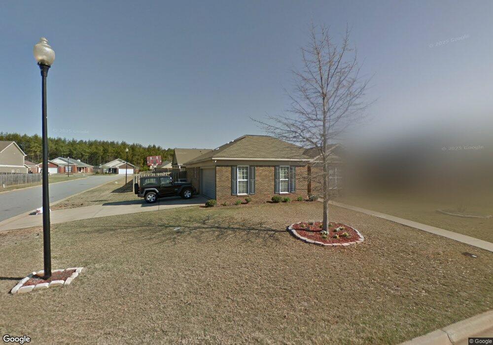
8018 Silverado Dr Columbus, GA 31909
Midland NeighborhoodEstimated Value: $246,865 - $265,000
3
Beds
2
Baths
1,700
Sq Ft
$151/Sq Ft
Est. Value
About This Home
This home is located at 8018 Silverado Dr, Columbus, GA 31909 and is currently estimated at $257,216, approximately $151 per square foot. 8018 Silverado Dr is a home located in Muscogee County with nearby schools including Midland Academy, Blackmon Road Middle School, and Shaw High School.
Ownership History
Date
Name
Owned For
Owner Type
Purchase Details
Closed on
Sep 1, 2020
Sold by
Doherty Patrick
Bought by
Johnson Martin Robert and Johnson Alecia D
Current Estimated Value
Home Financials for this Owner
Home Financials are based on the most recent Mortgage that was taken out on this home.
Original Mortgage
$192,324
Outstanding Balance
$169,334
Interest Rate
2.8%
Mortgage Type
VA
Estimated Equity
$87,882
Create a Home Valuation Report for This Property
The Home Valuation Report is an in-depth analysis detailing your home's value as well as a comparison with similar homes in the area
Home Values in the Area
Average Home Value in this Area
Purchase History
| Date | Buyer | Sale Price | Title Company |
|---|---|---|---|
| Johnson Martin Robert | $188,000 | -- |
Source: Public Records
Mortgage History
| Date | Status | Borrower | Loan Amount |
|---|---|---|---|
| Open | Johnson Martin Robert | $192,324 |
Source: Public Records
Tax History
| Year | Tax Paid | Tax Assessment Tax Assessment Total Assessment is a certain percentage of the fair market value that is determined by local assessors to be the total taxable value of land and additions on the property. | Land | Improvement |
|---|---|---|---|---|
| 2025 | $3,337 | $85,244 | $13,704 | $71,540 |
| 2024 | $3,337 | $85,244 | $13,704 | $71,540 |
| 2023 | $3,358 | $85,244 | $13,704 | $71,540 |
| 2022 | $2,767 | $67,768 | $13,704 | $54,064 |
| 2021 | $2,894 | $70,888 | $13,704 | $57,184 |
| 2020 | $2,461 | $60,264 | $13,704 | $46,560 |
| 2019 | $2,469 | $60,264 | $13,704 | $46,560 |
| 2018 | $2,469 | $60,264 | $13,704 | $46,560 |
| 2017 | $2,477 | $60,264 | $13,704 | $46,560 |
| 2016 | $3,017 | $73,140 | $12,800 | $60,340 |
| 2015 | $3,021 | $73,140 | $12,800 | $60,340 |
| 2014 | $3,024 | $73,140 | $12,800 | $60,340 |
| 2013 | -- | $73,140 | $12,800 | $60,340 |
Source: Public Records
Map
Nearby Homes
- 9028 Scottsdale Ct
- 9020 Scottsdale Ct
- 7389 Sorrel Ct
- 7378 San Vista Dr
- 2991 Slippery Rock Ct
- 5170 Midland Trace
- 5912 Big Oak Dr
- 8091 Turtle Creek Dr
- 7168 Pinewood Ct
- 5135 Midland Trace
- 6528 Yellow Stone Ct
- 6502 Tidewater Ct
- 9199 Travelers Way
- 7187 Citation Dr
- 4618 Thoroughbred Ln
- 5041 Montego Dr
- 4826 Teak Dr
- 7811 Eagles Landing Ct
- 2630 Spring Chapel Ct
- 5042 Foxfire Dr
- 8022 Silverado Dr
- 8047 Santee Ct
- 8026 Silverado Dr
- 8008 Silverado Dr
- 8051 Santee Ct
- 8055 Santee Ct
- 8039 Santee Ct
- 8017 Silverado Dr
- 8021 Silverado Dr
- 8030 Silverado Dr
- 8025 Silverado Dr
- 8059 Santee Ct
- 8004 Silverado Dr
- 8029 Silverado Dr
- 8035 Santee Ct
- 8034 Silverado Dr
- 8009 Silverado Dr
- 8063 Santee Ct
- 8031 Santee Ct
- 9041 Sonoma Pointe Dr
Your Personal Tour Guide
Ask me questions while you tour the home.