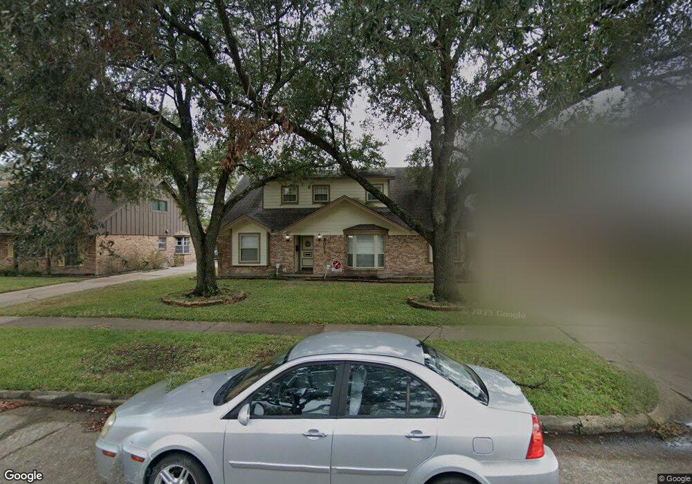
8019 Concho St Houston, TX 77036
Sharpstown NeighborhoodEstimated Value: $280,000 - $350,000
4
Beds
3
Baths
2,426
Sq Ft
$131/Sq Ft
Est. Value
About This Home
This home is located at 8019 Concho St, Houston, TX 77036 and is currently estimated at $317,002, approximately $130 per square foot. 8019 Concho St is a home located in Harris County with nearby schools including Neff Elementary School, Sugar Grove Academy, and Sharpstown High School.
Ownership History
Date
Name
Owned For
Owner Type
Purchase Details
Closed on
May 28, 2003
Sold by
Whiteside Thomas E and Whiteside Betty W
Bought by
Orsburn Robert and Orsburn Theresa M
Current Estimated Value
Home Financials for this Owner
Home Financials are based on the most recent Mortgage that was taken out on this home.
Original Mortgage
$143,520
Interest Rate
5.79%
Mortgage Type
Purchase Money Mortgage
Create a Home Valuation Report for This Property
The Home Valuation Report is an in-depth analysis detailing your home's value as well as a comparison with similar homes in the area
Home Values in the Area
Average Home Value in this Area
Purchase History
| Date | Buyer | Sale Price | Title Company |
|---|---|---|---|
| Orsburn Robert | -- | Ticor Title Services |
Source: Public Records
Mortgage History
| Date | Status | Borrower | Loan Amount |
|---|---|---|---|
| Previous Owner | Orsburn Robert | $143,520 |
Source: Public Records
Tax History Compared to Growth
Tax History
| Year | Tax Paid | Tax Assessment Tax Assessment Total Assessment is a certain percentage of the fair market value that is determined by local assessors to be the total taxable value of land and additions on the property. | Land | Improvement |
|---|---|---|---|---|
| 2025 | $3,441 | $276,038 | $134,374 | $141,664 |
| 2024 | $3,441 | $262,477 | $97,048 | $165,429 |
| 2023 | $3,441 | $266,158 | $97,048 | $169,110 |
| 2022 | $4,846 | $236,845 | $59,722 | $177,123 |
| 2021 | $4,500 | $193,070 | $59,722 | $133,348 |
| 2020 | $5,018 | $200,583 | $59,722 | $140,861 |
| 2019 | $4,781 | $183,142 | $44,791 | $138,351 |
| 2018 | $3,240 | $191,649 | $44,791 | $146,858 |
| 2017 | $4,129 | $183,739 | $44,791 | $138,948 |
| 2016 | $3,753 | $178,579 | $44,791 | $133,788 |
| 2015 | $2,279 | $158,321 | $44,791 | $113,530 |
| 2014 | $2,279 | $134,201 | $44,791 | $89,410 |
Source: Public Records
Map
Nearby Homes
- 8119 Concho St
- 8218 Hazen St
- 8019 Sharpview Dr
- 8418 Hazen St
- 7622 Troulon Dr
- 7302 Burning Tree Dr
- 7419 Barberton Dr
- 7302 Redding Rd
- 8530 Roos Rd
- 8714 Wateka Dr
- 7607 Grape St
- 8314 Edgemoor Dr
- 7303 Augustine Dr
- 8222 La Roche Ln
- 8787 Brae Acres Rd Unit 403
- 8787 Brae Acres Rd Unit 307
- 8515 Edgemoor Dr
- 7522 Jackwood St
- 7819 Bellaire Blvd
- 8826 Tanager St