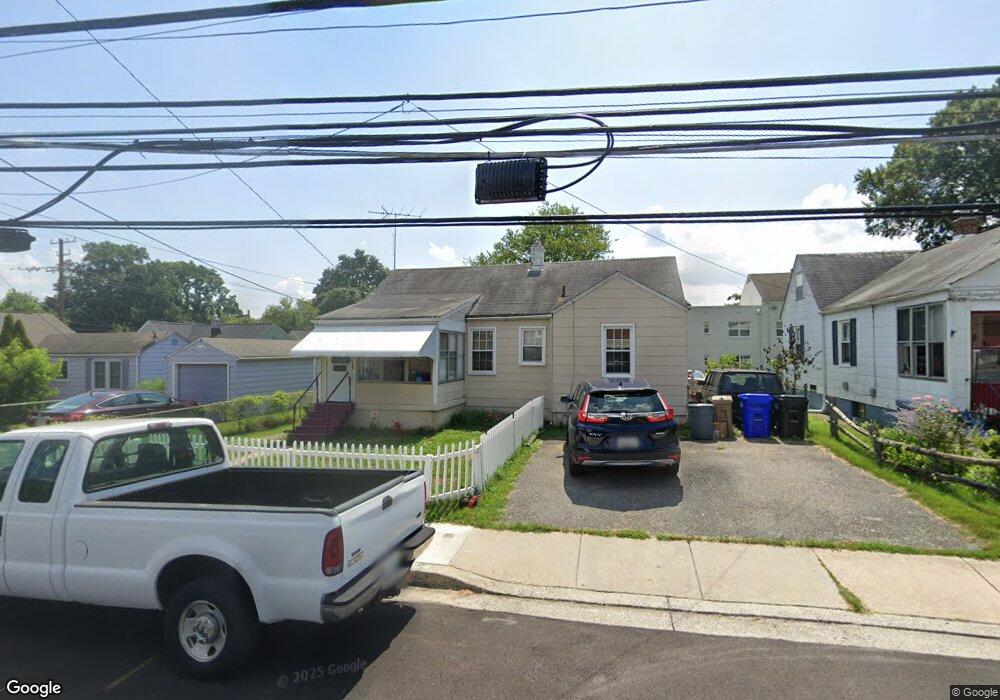
802 4th St Laurel, MD 20707
Estimated Value: $275,000 - $352,000
Studio
1
Bath
840
Sq Ft
$366/Sq Ft
Est. Value
About This Home
This home is located at 802 4th St, Laurel, MD 20707 and is currently estimated at $307,539, approximately $366 per square foot. 802 4th St is a home located in Prince George's County with nearby schools including Laurel Elementary School, Dwight D. Eisenhower Middle School, and Laurel High School.
Ownership History
Date
Name
Owned For
Owner Type
Purchase Details
Closed on
Mar 5, 2003
Sold by
Federal National Mortgage Assn
Bought by
Tucker Stanley N
Current Estimated Value
Purchase Details
Closed on
Oct 16, 2002
Sold by
Olympus Servicing Lp
Bought by
Federal National Mortgage Assn and 200W Olympus Ste
Purchase Details
Closed on
Jun 25, 2002
Sold by
Saucer Lester and Saucer Shirley
Bought by
Olympus Servicing Lp and 200W Ste
Purchase Details
Closed on
May 11, 2001
Sold by
Borel Adrian K
Bought by
Saucer Lester and Saucer Shirley
Create a Home Valuation Report for This Property
The Home Valuation Report is an in-depth analysis detailing your home's value as well as a comparison with similar homes in the area
Home Values in the Area
Average Home Value in this Area
Purchase History
| Date | Buyer | Sale Price | Title Company |
|---|---|---|---|
| Tucker Stanley N | $114,900 | -- | |
| Federal National Mortgage Assn | $135,000 | -- | |
| Olympus Servicing Lp | $135,000 | -- | |
| Saucer Lester | $133,500 | -- |
Source: Public Records
Tax History
| Year | Tax Paid | Tax Assessment Tax Assessment Total Assessment is a certain percentage of the fair market value that is determined by local assessors to be the total taxable value of land and additions on the property. | Land | Improvement |
|---|---|---|---|---|
| 2025 | $4,138 | $261,400 | $100,200 | $161,200 |
| 2024 | $4,138 | $242,067 | -- | -- |
| 2023 | $3,874 | $222,733 | $0 | $0 |
| 2022 | $3,354 | $203,400 | $75,200 | $128,200 |
| 2021 | $3,350 | $197,400 | $0 | $0 |
| 2020 | $5,168 | $191,400 | $0 | $0 |
| 2019 | $4,853 | $185,400 | $75,100 | $110,300 |
| 2018 | $2,613 | $180,633 | $0 | $0 |
| 2017 | $4,243 | $175,867 | $0 | $0 |
| 2016 | -- | $171,100 | $0 | $0 |
| 2015 | -- | $171,100 | $0 | $0 |
| 2014 | $2,812 | $171,100 | $0 | $0 |
Source: Public Records
Map
Nearby Homes
- 509 4th St
- 322 Laurel Ave
- 1002 7th St
- 1000 8th St
- 1010 7th St
- 903 Montrose Ave
- 501 8th St
- 413 Montgomery St
- 1004 Marton St
- 505A Montgomery St
- 15012 Wheatland Place
- 15008 Courtland Place
- 1012 Ward St
- 120 2nd St
- 8218 Londonderry Ct
- 1028 Ward St
- 910 Montgomery St Unit A
- 916 Philip Powers Dr
- 19 Post Office Ave Unit 203
- 1009 Turney Ave