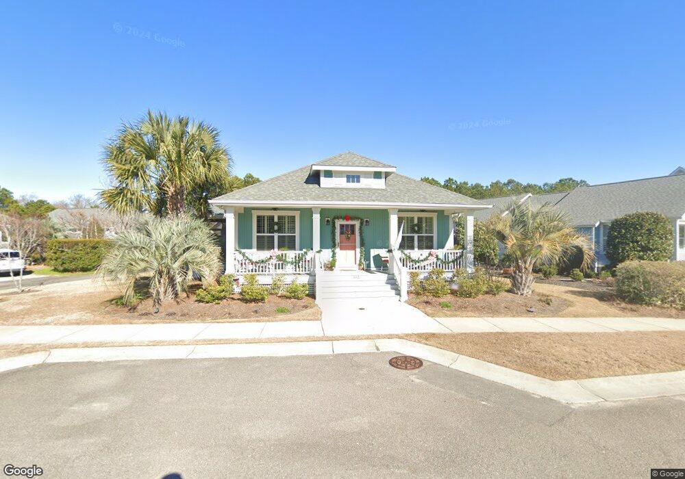
802 Cades Trail Southport, NC 28461
Estimated Value: $542,589 - $639,000
3
Beds
2
Baths
1,728
Sq Ft
$333/Sq Ft
Est. Value
About This Home
This home is located at 802 Cades Trail, Southport, NC 28461 and is currently estimated at $575,647, approximately $333 per square foot. 802 Cades Trail is a home with nearby schools including Southport Elementary School, South Brunswick Middle School, and South Brunswick High School.
Ownership History
Date
Name
Owned For
Owner Type
Purchase Details
Closed on
Apr 9, 2015
Sold by
Cardinal Builders Co
Bought by
Byers Michael Ross and Byers Denise Marie
Current Estimated Value
Home Financials for this Owner
Home Financials are based on the most recent Mortgage that was taken out on this home.
Original Mortgage
$120,000
Outstanding Balance
$94,355
Interest Rate
3.89%
Mortgage Type
Construction
Estimated Equity
$481,292
Purchase Details
Closed on
Oct 26, 2010
Sold by
Crm Mid Atlantic Properties Llc
Bought by
Cardinal Builders Company
Create a Home Valuation Report for This Property
The Home Valuation Report is an in-depth analysis detailing your home's value as well as a comparison with similar homes in the area
Home Values in the Area
Average Home Value in this Area
Purchase History
| Date | Buyer | Sale Price | Title Company |
|---|---|---|---|
| Byers Michael Ross | $50,000 | None Available | |
| Cardinal Builders Company | $200,000 | None Available |
Source: Public Records
Mortgage History
| Date | Status | Borrower | Loan Amount |
|---|---|---|---|
| Open | Byers Michael Ross | $120,000 |
Source: Public Records
Tax History Compared to Growth
Tax History
| Year | Tax Paid | Tax Assessment Tax Assessment Total Assessment is a certain percentage of the fair market value that is determined by local assessors to be the total taxable value of land and additions on the property. | Land | Improvement |
|---|---|---|---|---|
| 2025 | $3,597 | $490,840 | $56,000 | $434,840 |
| 2024 | $3,597 | $490,840 | $56,000 | $434,840 |
| 2023 | $0 | $490,840 | $56,000 | $434,840 |
| 2022 | $3,147 | $320,140 | $45,500 | $274,640 |
| 2021 | $2,765 | $320,140 | $45,500 | $274,640 |
| 2020 | $2,765 | $320,140 | $45,500 | $274,640 |
| 2019 | $2,703 | $47,230 | $45,500 | $1,730 |
| 2018 | $2,366 | $61,960 | $60,000 | $1,960 |
| 2017 | $2,353 | $61,960 | $60,000 | $1,960 |
| 2016 | $2,192 | $61,960 | $60,000 | $1,960 |
| 2015 | $472 | $60,000 | $60,000 | $0 |
| 2014 | $228 | $30,000 | $30,000 | $0 |
Source: Public Records
Map
Nearby Homes
- 813 Cades Trail
- 818 Cades Trail
- 420 Cades Trail
- 1200 N Caswell Ave
- 304 W 11th St
- 1214 N Caswell Ave
- 1218 N Caswell Ave
- 1100 Spincast Rd
- 1028 Downrigger Trail
- 114 W 14th St Unit B
- 1313 N Howe St
- Lot 5b Hankinsville Rd
- 2008 Robert Ruark Dr SE
- 2451 Lake Ridge Dr
- 2443 Lake Ridge Dr
- 1110 Caney Ct
- 2478 Lake Ridge Dr
- 2482 Lake Ridge Dr
- Ellsworth Plan at Osprey Landing - Signature
- Marshall Plan at Osprey Landing - Signature
- 804 Cades Trail
- 806 Cades Trail
- 303 Lord Thomas Ave
- 305 Lord Thomas Ave
- 803 Cades Trail
- 801 Cades Trail
- 805 Cades Trail
- 808 Cades Trail
- 301 Lord Thomas Ave
- 401 Lord Thomas Ave
- 807 Cades Trail
- 809 Cades Trail
- 809 Cades Trail
- 810 Cades Trail
- 403 Lord Thomas Ave
- 304 Lord Thomas Ave
- 811 Cades Trail
- 302 Lord Thomas Ave
- 242 N Caswell Ct
- 402 Lord Thomas Ave