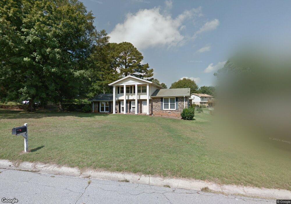
802 College St Carrollton, GA 30117
Estimated Value: $318,738 - $341,000
4
Beds
3
Baths
1,748
Sq Ft
$188/Sq Ft
Est. Value
About This Home
This home is located at 802 College St, Carrollton, GA 30117 and is currently estimated at $328,685, approximately $188 per square foot. 802 College St is a home located in Carroll County with nearby schools including Carrollton Elementary School, Carrollton Upper Elementary School, and Carrollton Middle School.
Ownership History
Date
Name
Owned For
Owner Type
Purchase Details
Closed on
Apr 18, 2005
Sold by
Vest Mark A
Bought by
Vest Mark A and Vest Susan L
Current Estimated Value
Purchase Details
Closed on
Oct 18, 1995
Bought by
Vest Mark A and Vest Susan L
Purchase Details
Closed on
Nov 27, 1991
Bought by
Cleveland Robert & L
Create a Home Valuation Report for This Property
The Home Valuation Report is an in-depth analysis detailing your home's value as well as a comparison with similar homes in the area
Home Values in the Area
Average Home Value in this Area
Purchase History
| Date | Buyer | Sale Price | Title Company |
|---|---|---|---|
| Vest Mark A | -- | -- | |
| Vest Mark A | $77,000 | -- | |
| Cleveland Robert & L | -- | -- |
Source: Public Records
Tax History Compared to Growth
Tax History
| Year | Tax Paid | Tax Assessment Tax Assessment Total Assessment is a certain percentage of the fair market value that is determined by local assessors to be the total taxable value of land and additions on the property. | Land | Improvement |
|---|---|---|---|---|
| 2024 | $2,579 | $114,272 | $34,145 | $80,127 |
| 2023 | $2,579 | $107,025 | $34,145 | $72,880 |
| 2022 | $1,669 | $68,631 | $22,749 | $45,882 |
| 2021 | $1,384 | $56,236 | $16,859 | $39,377 |
| 2020 | $1,299 | $52,500 | $16,859 | $35,641 |
| 2019 | $1,254 | $50,083 | $16,859 | $33,224 |
| 2018 | $1,195 | $46,984 | $16,957 | $30,027 |
| 2017 | $1,200 | $46,984 | $16,957 | $30,027 |
| 2016 | $1,349 | $53,127 | $23,500 | $29,627 |
| 2015 | $914 | $33,594 | $9,720 | $23,874 |
| 2014 | $918 | $33,594 | $9,720 | $23,874 |
Source: Public Records
Map
Nearby Homes
- 777 College St
- 541 N White St Unit 12
- 541 N White St
- 123 Cedar Park Way
- 103 W Chandler St
- 123 Autumn Glen Dr
- 111 Lakeview Dr
- 201 Stewart St
- 110 Town Walk Ln
- 120 Stewart St
- 0 Ward St Unit 10390499
- 322 Cedar St
- 108 Springwood Dr
- 405 N Park St
- 205 Johnson Ave Unit 231
- 119 Oxford Square
- TRACT1-7 Us Highway 27
- 325 Almon Rd
- 114 Green Point Way
- 816 Stewart St
- 202 Winchester Dr
- 804 College St
- 801 College St
- 203 Winchester Dr
- 201 Winchester Dr
- 799 College St
- 0 Winchester Dr Unit 8389257
- 0 Winchester Dr
- 803 College St
- 803 College St Unit 48
- 806 College St
- 702 College St
- 104 Colt Dr
- 805 College St
- 104 Winchester Dr
- 548 N White St
- 548 N White St
- 0 Colt Dr
- 808 College St
- 103 Winchester Dr