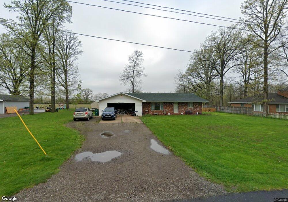
802 Dexter Dr Lennon, MI 48449
Venice Township NeighborhoodEstimated Value: $171,000 - $248,000
Studio
--
Bath
--
Sq Ft
0.41
Acres
About This Home
This home is located at 802 Dexter Dr, Lennon, MI 48449 and is currently estimated at $219,409. 802 Dexter Dr is a home located in Shiawassee County with nearby schools including Bertha Neal Elementary School, Robert Kerr School, and Durand Middle School.
Ownership History
Date
Name
Owned For
Owner Type
Purchase Details
Closed on
May 13, 2019
Sold by
Lane Bradley J
Bought by
Hendrickson Christina
Current Estimated Value
Home Financials for this Owner
Home Financials are based on the most recent Mortgage that was taken out on this home.
Original Mortgage
$70,606
Outstanding Balance
$61,951
Interest Rate
4.1%
Estimated Equity
$157,458
Purchase Details
Closed on
Mar 10, 2005
Sold by
Scott Nancy J
Bought by
Lane Bradley J
Home Financials for this Owner
Home Financials are based on the most recent Mortgage that was taken out on this home.
Original Mortgage
$140,750
Interest Rate
5.67%
Mortgage Type
Purchase Money Mortgage
Create a Home Valuation Report for This Property
The Home Valuation Report is an in-depth analysis detailing your home's value as well as a comparison with similar homes in the area
Home Values in the Area
Average Home Value in this Area
Purchase History
| Date | Buyer | Sale Price | Title Company |
|---|---|---|---|
| Hendrickson Christina | $69,900 | -- | |
| Lane Bradley J | $137,500 | Multiple |
Source: Public Records
Mortgage History
| Date | Status | Borrower | Loan Amount |
|---|---|---|---|
| Open | Hendrickson Christina | $70,606 | |
| Closed | Hendrickson Christina | -- | |
| Previous Owner | Lane Bradley J | $140,750 |
Source: Public Records
Tax History Compared to Growth
Tax History
| Year | Tax Paid | Tax Assessment Tax Assessment Total Assessment is a certain percentage of the fair market value that is determined by local assessors to be the total taxable value of land and additions on the property. | Land | Improvement |
|---|---|---|---|---|
| 2025 | $1,977 | $86,800 | $0 | $0 |
| 2024 | $1,852 | $86,300 | $0 | $0 |
| 2023 | $683 | $71,700 | $0 | $0 |
| 2022 | $1,244 | $58,600 | $0 | $0 |
| 2021 | $2,238 | $54,600 | $0 | $0 |
| 2020 | $2,246 | $54,600 | $0 | $0 |
| 2019 | $1,578 | $41,400 | $0 | $0 |
| 2018 | $1,533 | $41,900 | $0 | $0 |
| 2017 | $2,042 | $38,600 | $0 | $0 |
| 2016 | -- | $38,600 | $0 | $0 |
| 2015 | -- | $37,500 | $0 | $0 |
| 2014 | $338 | $36,700 | $0 | $0 |
Source: Public Records
Map
Nearby Homes
- 11647 E Lennon Rd
- 805 Oak St
- TBD E Brooks Rd N of Us 69 W of M13
- 4101 lot 171 S Sheridan
- 12502 W Corunna Rd
- 4101 S Sheridan Rd
- 4014 S Duffield Rd
- 9895 E Brooks Rd
- 2135 S New Lothrop Rd
- 11065 E Goodall Rd
- 11637 E Lansing Rd
- 5051 Nichols Rd
- 2056 Duffield Rd
- 0 Corunna Rd Unit 20251051464
- 1309 Houston Dr
- 10529 Hill Rd
- 8110 Middleton Rd
- 9312 Sue Ct
- 9147 Corunna Rd
- 1446 van Vleet Rd