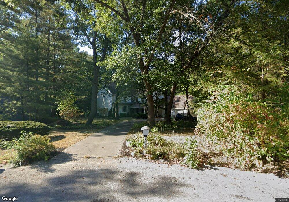
802 E Buckthorn Cir Mahomet, IL 61853
Estimated Value: $465,599 - $561,000
--
Bed
3
Baths
1,804
Sq Ft
$283/Sq Ft
Est. Value
About This Home
This home is located at 802 E Buckthorn Cir, Mahomet, IL 61853 and is currently estimated at $511,150, approximately $283 per square foot. 802 E Buckthorn Cir is a home located in Champaign County with nearby schools including Middletown Prairie Elementary and First School.
Ownership History
Date
Name
Owned For
Owner Type
Purchase Details
Closed on
Apr 13, 2006
Sold by
Abrams Daniel Paul and Abrams Susan M
Bought by
Lee Paul J and Yoo Sandra
Current Estimated Value
Home Financials for this Owner
Home Financials are based on the most recent Mortgage that was taken out on this home.
Original Mortgage
$268,000
Outstanding Balance
$153,832
Interest Rate
6.34%
Mortgage Type
Fannie Mae Freddie Mac
Estimated Equity
$357,318
Create a Home Valuation Report for This Property
The Home Valuation Report is an in-depth analysis detailing your home's value as well as a comparison with similar homes in the area
Home Values in the Area
Average Home Value in this Area
Purchase History
| Date | Buyer | Sale Price | Title Company |
|---|---|---|---|
| Lee Paul J | $335,000 | None Available |
Source: Public Records
Mortgage History
| Date | Status | Borrower | Loan Amount |
|---|---|---|---|
| Open | Lee Paul J | $268,000 |
Source: Public Records
Tax History Compared to Growth
Tax History
| Year | Tax Paid | Tax Assessment Tax Assessment Total Assessment is a certain percentage of the fair market value that is determined by local assessors to be the total taxable value of land and additions on the property. | Land | Improvement |
|---|---|---|---|---|
| 2024 | $9,359 | $151,540 | $29,600 | $121,940 |
| 2023 | $9,359 | $137,760 | $26,910 | $110,850 |
| 2022 | $8,678 | $126,970 | $24,800 | $102,170 |
| 2021 | $8,221 | $120,010 | $23,440 | $96,570 |
| 2020 | $8,076 | $118,010 | $23,050 | $94,960 |
| 2019 | $7,875 | $116,150 | $22,690 | $93,460 |
| 2018 | $7,655 | $113,650 | $22,200 | $91,450 |
| 2017 | $7,541 | $110,880 | $21,660 | $89,220 |
| 2016 | $7,514 | $110,880 | $21,660 | $89,220 |
| 2015 | $6,676 | $110,880 | $21,660 | $89,220 |
| 2014 | $6,499 | $96,840 | $22,150 | $74,690 |
| 2013 | $6,380 | $95,410 | $21,820 | $73,590 |
Source: Public Records
Map
Nearby Homes
- 1101 S Mcdougal Rd
- 1101 E Pin Oak Dr
- Eldridge Plan at Whisper Meadow
- Ridgecrest 1865 Plan at Whisper Meadow
- Ridgeland Plan at Whisper Meadow
- Wellington Plan at Whisper Meadow
- Greenbriar Plan at Whisper Meadow
- Douglas 1730 Plan at Whisper Meadow
- Chatsworth Plan at Whisper Meadow
- 1804 Horizon Ct
- 710 Wheatley Dr
- 706 Wheatley Dr
- 1808 S Orchard Dr
- 200 Riverbend Blvd
- Ridgeland 2236 Plan at Harvest Edge
- Ridgecrest 1865 Plan at Harvest Edge
- Greenbriar 2299 Plan at Harvest Edge
- Douglas 1730 Plan at Harvest Edge
- Wellington 2117 Plan at Harvest Edge
- Chatsworth 2046 Plan at Harvest Edge
- 801 E Buckthorn Cir
- 804 E Buckthorn Cir
- 803 E Buckthorn Cir
- 1404 S Buckthorn Ln
- 805 E Buckthorn Cir
- 1504 S Buckthorn Ln
- 1601 Spring Creek Dr
- 1401 S River Oaks Dr
- 1600 Spring Creek Dr
- 1403 Woodfield Dr
- 1503 Woodfield Dr
- 1603 Spring Creek Dr
- 1403 S River Oaks Dr
- 1505 Woodfield Dr
- 1602 Spring Creek Dr
- 704 Deer Run Dr
- 902 Woodview Ct
- 802 Deer Run Dr
- 1206 Riverside Ct
- 702 Deer Run Dr