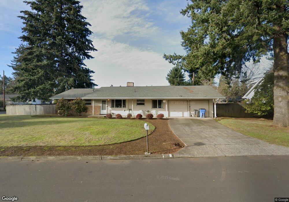
802 Flint Ave Vancouver, WA 98664
Estimated Value: $419,000 - $480,000
3
Beds
3
Baths
1,321
Sq Ft
$345/Sq Ft
Est. Value
About This Home
This home is located at 802 Flint Ave, Vancouver, WA 98664 and is currently estimated at $456,002, approximately $345 per square foot. 802 Flint Ave is a home located in Clark County with nearby schools including Martin Luther King Elementary School, McLoughlin Middle School, and Fort Vancouver High School.
Ownership History
Date
Name
Owned For
Owner Type
Purchase Details
Closed on
Nov 22, 2002
Sold by
Lindholm Straughan Theresa Jean
Bought by
Parent Charles H and Parent Leslie L
Current Estimated Value
Home Financials for this Owner
Home Financials are based on the most recent Mortgage that was taken out on this home.
Original Mortgage
$75,000
Outstanding Balance
$31,645
Interest Rate
6.12%
Estimated Equity
$424,357
Create a Home Valuation Report for This Property
The Home Valuation Report is an in-depth analysis detailing your home's value as well as a comparison with similar homes in the area
Home Values in the Area
Average Home Value in this Area
Purchase History
| Date | Buyer | Sale Price | Title Company |
|---|---|---|---|
| Parent Charles H | $115,000 | Chicago Title Insurance |
Source: Public Records
Mortgage History
| Date | Status | Borrower | Loan Amount |
|---|---|---|---|
| Open | Parent Charles H | $75,000 |
Source: Public Records
Tax History Compared to Growth
Tax History
| Year | Tax Paid | Tax Assessment Tax Assessment Total Assessment is a certain percentage of the fair market value that is determined by local assessors to be the total taxable value of land and additions on the property. | Land | Improvement |
|---|---|---|---|---|
| 2025 | $4,056 | $428,765 | $164,000 | $264,765 |
| 2024 | $3,895 | $415,172 | $164,000 | $251,172 |
| 2023 | $3,778 | $416,319 | $164,000 | $252,319 |
| 2022 | $3,355 | $405,347 | $164,000 | $241,347 |
| 2021 | $3,121 | $335,344 | $135,000 | $200,344 |
| 2020 | $2,928 | $294,007 | $119,930 | $174,077 |
| 2019 | $2,677 | $285,816 | $116,240 | $169,576 |
| 2018 | $2,818 | $270,716 | $0 | $0 |
| 2017 | $2,536 | $236,567 | $0 | $0 |
| 2016 | $2,611 | $222,198 | $0 | $0 |
| 2015 | $2,340 | $218,612 | $0 | $0 |
| 2014 | -- | $185,234 | $0 | $0 |
| 2013 | -- | $158,413 | $0 | $0 |
Source: Public Records
Map
Nearby Homes
- 7010 Ohio Dr
- 6704 Kansas St
- 700 Garrison Terrace
- 6906 Tennessee Ln
- 6118 Kansas St
- 6804 Louisiana Dr
- 1007 NE 82nd Ave
- 7012 Louisiana Dr
- 8009 NE 16th St
- 8405 NE 10th St
- 300 Baltimore Way
- 5720 Kansas St
- 5813 Montana Ln
- 1918 NE 77th Place
- 7905 NE 19th Cir
- 5712 Montana Ln
- 7632 NE 20th St
- 8107 NE 20th St Unit 17
- 2312 NE 79th Ave
- 2112 NE 79th Ave Unit H103
- 7100 Indiana St
- 810 Flint Ave
- 7107 Kansas St
- 801 Flint Ave
- 7016 Indiana St
- 809 Flint Ave
- 7101 Indiana St
- 714 Flint Ave
- 7019 Kansas St
- 7204 Indiana St
- 713 Flint Ave
- 7015 Indiana St
- 7010 Indiana St
- 7209 Kansas St
- 7114 Kansas St
- 7203 Indiana St
- 7106 Kansas St
- 7009 Indiana St
- 7013 Kansas St
- 7204 Kansas St