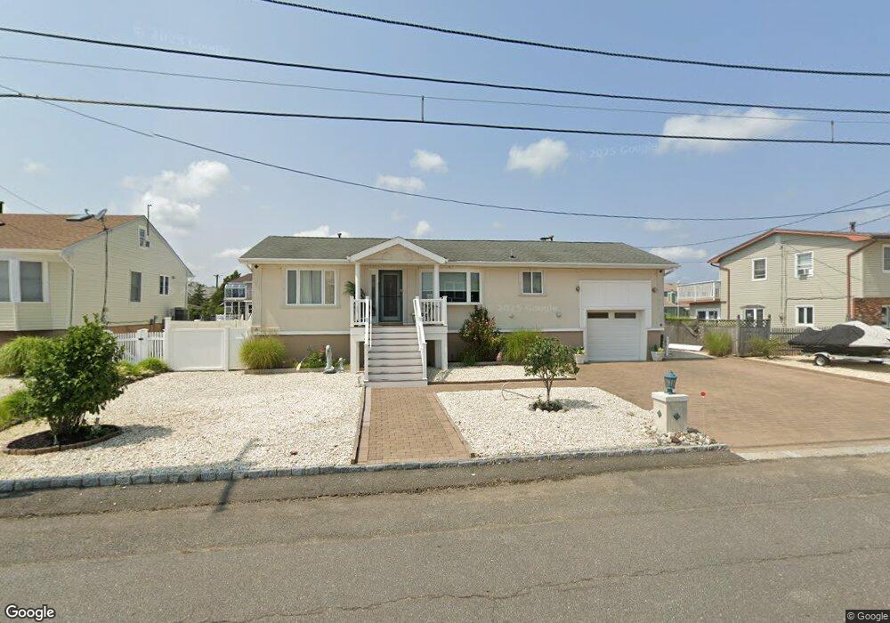
802 Forepeak Dr Forked River, NJ 08731
Estimated Value: $601,745 - $788,000
2
Beds
2
Baths
1,852
Sq Ft
$390/Sq Ft
Est. Value
About This Home
This home is located at 802 Forepeak Dr, Forked River, NJ 08731 and is currently estimated at $721,936, approximately $389 per square foot. 802 Forepeak Dr is a home located in Ocean County with nearby schools including Lacey Township High School.
Ownership History
Date
Name
Owned For
Owner Type
Purchase Details
Closed on
Jan 19, 2021
Sold by
Ferroni Nicholas and Ferroni Marie
Bought by
Ferroni Marie
Current Estimated Value
Purchase Details
Closed on
Aug 21, 2001
Sold by
Lang Nancy
Bought by
Ferroni Nicholas and Ferroni Marie
Home Financials for this Owner
Home Financials are based on the most recent Mortgage that was taken out on this home.
Original Mortgage
$185,250
Interest Rate
7.21%
Create a Home Valuation Report for This Property
The Home Valuation Report is an in-depth analysis detailing your home's value as well as a comparison with similar homes in the area
Home Values in the Area
Average Home Value in this Area
Purchase History
| Date | Buyer | Sale Price | Title Company |
|---|---|---|---|
| Ferroni Marie | -- | None Available | |
| Ferroni Marie | -- | None Listed On Document | |
| Ferroni Nicholas | $195,000 | -- | |
| Ferroni Nicholas | $195,000 | -- |
Source: Public Records
Mortgage History
| Date | Status | Borrower | Loan Amount |
|---|---|---|---|
| Previous Owner | Ferroni Nicholas | $185,250 |
Source: Public Records
Tax History
| Year | Tax Paid | Tax Assessment Tax Assessment Total Assessment is a certain percentage of the fair market value that is determined by local assessors to be the total taxable value of land and additions on the property. | Land | Improvement |
|---|---|---|---|---|
| 2025 | $9,976 | $393,700 | $228,800 | $164,900 |
| 2024 | $9,327 | $393,700 | $228,800 | $164,900 |
| 2023 | $8,909 | $393,700 | $228,800 | $164,900 |
| 2022 | $8,909 | $393,700 | $228,800 | $164,900 |
| 2021 | $8,760 | $393,700 | $228,800 | $164,900 |
| 2020 | $9,503 | $441,200 | $276,300 | $164,900 |
| 2019 | $9,336 | $441,200 | $276,300 | $164,900 |
| 2018 | $9,225 | $441,200 | $276,300 | $164,900 |
| 2017 | $8,936 | $437,400 | $272,500 | $164,900 |
| 2016 | $8,901 | $437,400 | $272,500 | $164,900 |
| 2015 | $8,503 | $437,400 | $272,500 | $164,900 |
| 2014 | $7,310 | $425,000 | $292,500 | $132,500 |
Source: Public Records
Map
Nearby Homes
- 0 Windward Dr Unit NJOC2039288
- 0 Windward Dr Unit 22601526
- 986 Capstan Dr
- 814 Ensign Dr
- 915 Shenandoah Dr
- 715 Richmond Dr
- 1025 Capstan Dr
- 709 Richmond Dr
- 510 Conifer Dr
- 1407 Hilo Bay Dr
- 207 Sunset Dr
- 330 Riviera Dr
- 1600 Beach Blvd
- 1609 Tamiami Rd
- 201 Nautilus Blvd
- 1205 Niihau Dr
- 1615 Tamiami Rd
- 0 Union Ct Unit 22605987
- 502 Teakwood Dr
- 1131 Beach Blvd
- 803 Forepeak Dr
- 801 Forepeak Dr
- 840 Forepeak Dr
- 804 Forepeak Dr
- 839 Forepeak Dr
- 837 Anchor Dr
- 834 Anchor Dr
- 838 Forepeak Dr
- 838 Anchor Dr
- 805 Forepeak Dr
- 833 Anchor Dr
- 837 Forepeak Dr
- 832 Anchor Dr
- 806 Forepeak Dr
- 801 Bowline Dr
- 805 Anchor Dr
- 806 Anchor Dr
- 804 Anchor Dr
- 836 Forepeak Dr
- 802 Bowline Dr
Your Personal Tour Guide
Ask me questions while you tour the home.