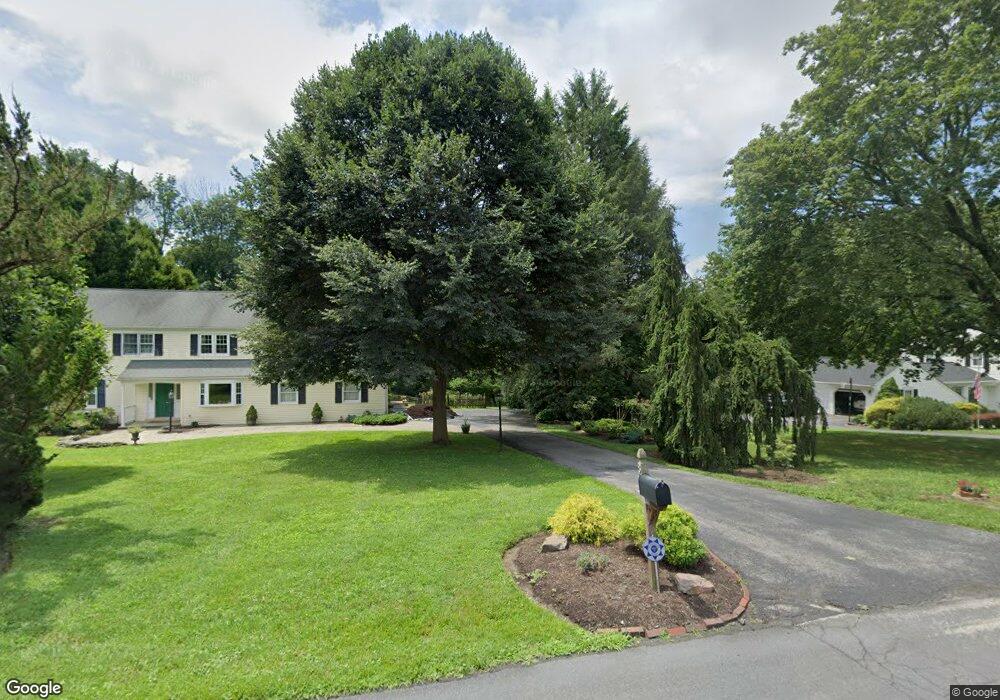
802 Hessian Cir West Chester, PA 19382
Estimated Value: $832,248 - $1,203,000
4
Beds
3
Baths
2,406
Sq Ft
$405/Sq Ft
Est. Value
About This Home
This home is located at 802 Hessian Cir, West Chester, PA 19382 and is currently estimated at $975,562, approximately $405 per square foot. 802 Hessian Cir is a home located in Chester County with nearby schools including Pocopson Elementary School, Charles F. Patton Middle School, and Unionville High School.
Ownership History
Date
Name
Owned For
Owner Type
Purchase Details
Closed on
Jan 16, 2003
Sold by
Fay Marion
Bought by
Fay Marion
Current Estimated Value
Home Financials for this Owner
Home Financials are based on the most recent Mortgage that was taken out on this home.
Original Mortgage
$188,000
Interest Rate
6.11%
Mortgage Type
Stand Alone First
Create a Home Valuation Report for This Property
The Home Valuation Report is an in-depth analysis detailing your home's value as well as a comparison with similar homes in the area
Home Values in the Area
Average Home Value in this Area
Purchase History
| Date | Buyer | Sale Price | Title Company |
|---|---|---|---|
| Fay Marion | -- | -- |
Source: Public Records
Mortgage History
| Date | Status | Borrower | Loan Amount |
|---|---|---|---|
| Closed | Fay Marion | $188,000 | |
| Closed | Fay Marion | $50,001 |
Source: Public Records
Tax History Compared to Growth
Tax History
| Year | Tax Paid | Tax Assessment Tax Assessment Total Assessment is a certain percentage of the fair market value that is determined by local assessors to be the total taxable value of land and additions on the property. | Land | Improvement |
|---|---|---|---|---|
| 2025 | $8,223 | $215,830 | $80,410 | $135,420 |
| 2024 | $8,223 | $215,830 | $80,410 | $135,420 |
| 2023 | $7,960 | $215,830 | $80,410 | $135,420 |
| 2022 | $7,794 | $215,830 | $80,410 | $135,420 |
| 2021 | $7,602 | $215,830 | $80,410 | $135,420 |
| 2020 | $7,582 | $215,830 | $80,410 | $135,420 |
| 2019 | $7,442 | $215,830 | $80,410 | $135,420 |
| 2018 | $7,420 | $215,830 | $80,410 | $135,420 |
| 2017 | $7,265 | $215,830 | $80,410 | $135,420 |
| 2016 | $856 | $215,830 | $80,410 | $135,420 |
| 2015 | $856 | $215,830 | $80,410 | $135,420 |
| 2014 | $856 | $215,830 | $80,410 | $135,420 |
Source: Public Records
Map
Nearby Homes
- 1048 General Allen Dr
- 1315 Lenape Rd
- 1303 Lenape Rd
- 523 Radek Ct
- 14 Sloan Rd
- 4 Sloan Rd
- 1156 Mews Ln Unit 33
- 1107 Mews Ln Unit 7
- 1202 Turks Head Ln
- 1035 Radley Dr
- 734 Denton Hollow Rd
- 1015 Lambourne Rd
- 1105 & 1107 Meetinghouse Rd
- 2005 W Street Rd
- 7 Bittersweet Dr
- 1033 Lenape Rd
- 2 Bittersweet Dr
- 1052 Cedar Mill Ln
- 666 E Lafayette Dr
- Lot 10 Carolannes Way
- 800 Hessian Cir
- 804 Hessian Cir
- 822 Hessian Cir
- 803 Hessian Cir
- 1139 Country Club Rd
- 806 Hessian Cir
- 900 General Wayne Dr
- 809 Hessian Cir
- 901 General Wayne Dr
- 808 Hessian Cir
- 902 General Wayne Dr
- 1137 Country Club Rd
- 1140 Country Club Rd
- 810 Hessian Cir
- 818 Hessian Cir
- 903 General Wayne Dr
- 812 Hessian Cir
- 904 General Wayne Dr
- 816 Hessian Cir
- 814 Hessian Cir