802 Highway 67 N Walnut Ridge, AR 72476
--
Bed
--
Bath
28,000
Sq Ft
19.98
Acres
About This Home
This home is located at 802 Highway 67 N, Walnut Ridge, AR 72476. 802 Highway 67 N is a home located in Lawrence County with nearby schools including Walnut Ridge Elementary School and Walnut Ridge High School.
Ownership History
Date
Name
Owned For
Owner Type
Purchase Details
Closed on
Jun 6, 2016
Sold by
Williams Baptist College
Bought by
Bg Development Llc
Home Financials for this Owner
Home Financials are based on the most recent Mortgage that was taken out on this home.
Original Mortgage
$1,500,000
Interest Rate
3.66%
Mortgage Type
Construction
Purchase Details
Closed on
Feb 21, 2002
Bought by
James Thomas F Realty Limited
Purchase Details
Closed on
May 24, 2000
Bought by
T F J Nominee Trust The
Purchase Details
Closed on
Feb 2, 1995
Bought by
T F J Nominee Trust The
Create a Home Valuation Report for This Property
The Home Valuation Report is an in-depth analysis detailing your home's value as well as a comparison with similar homes in the area
Home Values in the Area
Average Home Value in this Area
Purchase History
| Date | Buyer | Sale Price | Title Company |
|---|---|---|---|
| Bg Development Llc | $1,000,000 | None Available | |
| James Thomas F Realty Limited | -- | -- | |
| T F J Nominee Trust The | -- | -- | |
| T F J Nominee Trust The | -- | -- |
Source: Public Records
Mortgage History
| Date | Status | Borrower | Loan Amount |
|---|---|---|---|
| Closed | Bg Development Llc | $1,500,000 |
Source: Public Records
Tax History Compared to Growth
Tax History
| Year | Tax Paid | Tax Assessment Tax Assessment Total Assessment is a certain percentage of the fair market value that is determined by local assessors to be the total taxable value of land and additions on the property. | Land | Improvement |
|---|---|---|---|---|
| 2024 | $5,609 | $122,951 | $22,348 | $100,603 |
| 2023 | $5,609 | $122,951 | $22,348 | $100,603 |
| 2022 | $5,673 | $124,350 | $22,350 | $102,000 |
| 2021 | $5,673 | $124,350 | $22,350 | $102,000 |
| 2020 | $6,101 | $133,800 | $22,350 | $111,450 |
| 2019 | $6,101 | $133,800 | $22,350 | $111,450 |
| 2018 | $6,101 | $133,800 | $22,350 | $111,450 |
| 2017 | $5,293 | $124,840 | $22,350 | $102,490 |
| 2016 | $5,285 | $124,840 | $22,350 | $102,490 |
| 2015 | $4,907 | $124,840 | $22,350 | $102,490 |
| 2014 | $4,530 | $124,840 | $22,350 | $102,490 |
Source: Public Records
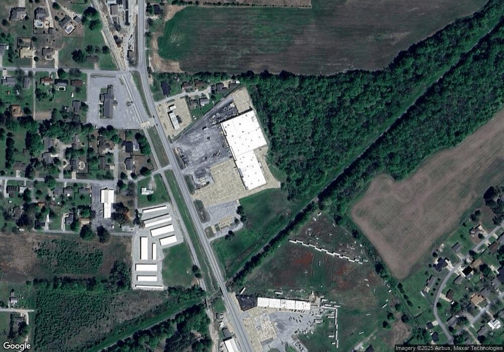
Map
Nearby Homes
- 107 NW Inman Dr
- 1 Acre Hwy 67 B
- 1 Acre Hwy 67b
- 4.16 ac (+/-) 26-17-01e Highway 67
- 906 NW 6th St
- 823 NW 5th St
- 100 Charleston Dr
- 815 NW 3rd St
- 511 Pocahontas Rd
- 420 NW 3rd St
- 620 W Main St
- 202 W Hazel St
- 601 Stewart St
- 1080 Cr 438
- 208 NE Front St
- 509 NE 4th St
- 200 NE 2nd St
- 317 W Vine St
- 1402 Azalea Ave
- 305 SW 3rd St
- N Hwy 67
- 3215 U S 67
- 814 Hwy 67 N
- 0 NW Inman Dr
- 108 NW Inman Dr
- 106 NW Inman Dr
- 104 NW Inman Dr
- 21715 Hwy 67
- 105 NW Inman Dr
- 2804 Highway 67
- 19.98 Highway 67 N
- 0 Barbara Unit 17006014
- 610 N Hwy 67 B
- 604 Freedom Dr
- 602 Freedom Dr
- 205 Rebecca Ln
- 704 Barbara Dr
- 706 Barbara Dr
- 601 Freedom Dr
- 603 Freedom Dr