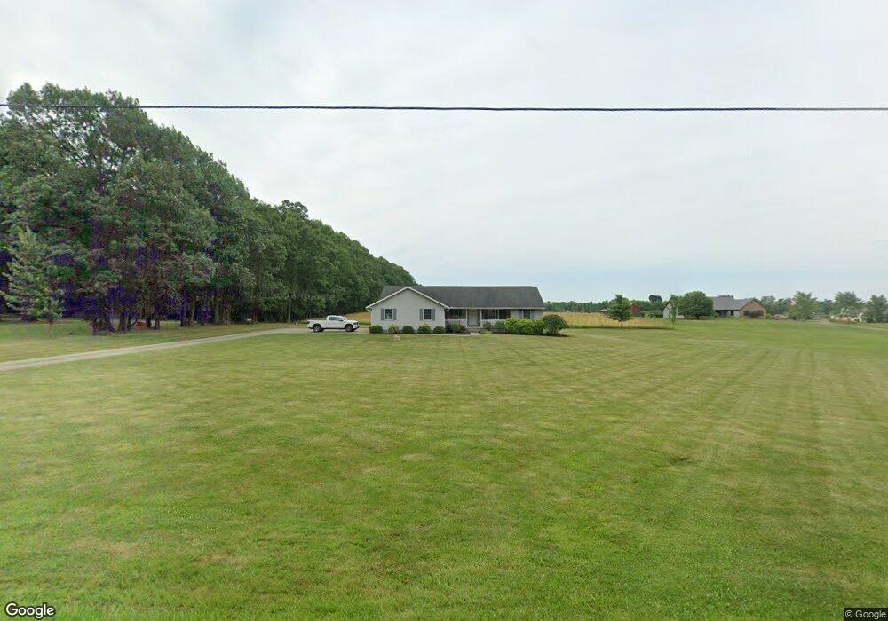
802 Hoover Rd Mansfield, OH 44905
Estimated Value: $202,000 - $339,111
3
Beds
2
Baths
1,614
Sq Ft
$158/Sq Ft
Est. Value
About This Home
This home is located at 802 Hoover Rd, Mansfield, OH 44905 and is currently estimated at $255,778, approximately $158 per square foot. 802 Hoover Rd is a home located in Richland County with nearby schools including Madison High School, Temple-Christian School, and St. Mary Catholic School.
Ownership History
Date
Name
Owned For
Owner Type
Purchase Details
Closed on
Feb 8, 2000
Sold by
Harlan Helen M
Bought by
Arnold Kevin T
Current Estimated Value
Home Financials for this Owner
Home Financials are based on the most recent Mortgage that was taken out on this home.
Original Mortgage
$102,953
Outstanding Balance
$31,770
Interest Rate
7.25%
Mortgage Type
New Conventional
Estimated Equity
$224,008
Create a Home Valuation Report for This Property
The Home Valuation Report is an in-depth analysis detailing your home's value as well as a comparison with similar homes in the area
Home Values in the Area
Average Home Value in this Area
Purchase History
| Date | Buyer | Sale Price | Title Company |
|---|---|---|---|
| Arnold Kevin T | $25,000 | -- |
Source: Public Records
Mortgage History
| Date | Status | Borrower | Loan Amount |
|---|---|---|---|
| Open | Arnold Kevin T | $102,953 |
Source: Public Records
Tax History Compared to Growth
Tax History
| Year | Tax Paid | Tax Assessment Tax Assessment Total Assessment is a certain percentage of the fair market value that is determined by local assessors to be the total taxable value of land and additions on the property. | Land | Improvement |
|---|---|---|---|---|
| 2024 | $3,936 | $80,980 | $19,760 | $61,220 |
| 2023 | $3,936 | $80,980 | $19,760 | $61,220 |
| 2022 | $3,581 | $65,420 | $17,660 | $47,760 |
| 2021 | $3,581 | $65,420 | $17,660 | $47,760 |
| 2020 | $3,608 | $65,420 | $17,660 | $47,760 |
| 2019 | $3,439 | $55,440 | $14,970 | $40,470 |
| 2018 | $3,216 | $55,440 | $14,970 | $40,470 |
| 2017 | $3,149 | $55,440 | $14,970 | $40,470 |
| 2016 | $3,284 | $55,880 | $14,220 | $41,660 |
| 2015 | $3,132 | $55,880 | $14,220 | $41,660 |
| 2014 | $3,120 | $55,880 | $14,220 | $41,660 |
| 2012 | $1,551 | $58,830 | $14,970 | $43,860 |
Source: Public Records
Map
Nearby Homes
- 0 Hoover Rd
- 920 Piper Rd
- 1171 Hoover Rd
- 1585 Beal Rd
- 1791 Beal Rd
- 1292 Wolford Rd
- 1245 N Stewart Rd
- 1140 5th Ave
- 1158 Delwood Rd
- 1150 Delwood Dr
- 1151 Beal Rd
- 0 Wesley
- 1106 Keller Dr Unit 1108
- 741 Yale Ave
- 735 Pennsylvania Ave
- 903 Mayflower Ave
- 1199 Evergreen Ave W
- 1183 Evergreen Ave W
- 588 Michigan Ave
- 1806 Richard Dr