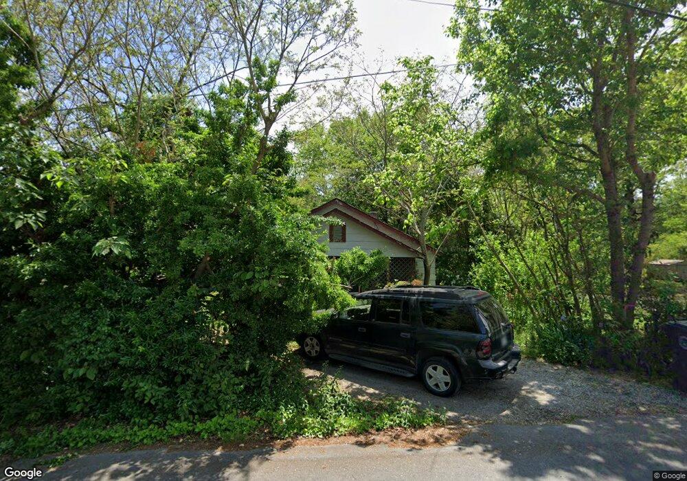
802 Moore Ave La Fayette, GA 30728
Estimated Value: $161,287 - $237,000
--
Bed
2
Baths
1,560
Sq Ft
$122/Sq Ft
Est. Value
About This Home
This home is located at 802 Moore Ave, La Fayette, GA 30728 and is currently estimated at $189,572, approximately $121 per square foot. 802 Moore Ave is a home located in Walker County with nearby schools including North Lafayette Elementary School, Lafayette Middle School, and Lafayette High School.
Ownership History
Date
Name
Owned For
Owner Type
Purchase Details
Closed on
Sep 7, 1993
Sold by
Pendergrass Jimmy D and Pendergrass Teresa P
Bought by
Pendergrass Jimmy Delmar
Current Estimated Value
Purchase Details
Closed on
Apr 15, 1993
Sold by
Pendergrass Jimmy Delmar
Bought by
Collins Linda Dale
Purchase Details
Closed on
Oct 19, 1990
Sold by
Gober Gober J and Gober Wf
Bought by
Pendergrass Jimmy D and Pendergrass Teresa P
Purchase Details
Closed on
Mar 15, 1975
Sold by
Armuchee Investment Corp
Bought by
Gober Gober J and Gober Wf
Purchase Details
Closed on
Jan 1, 1972
Bought by
Armuchee Investment Corp
Create a Home Valuation Report for This Property
The Home Valuation Report is an in-depth analysis detailing your home's value as well as a comparison with similar homes in the area
Home Values in the Area
Average Home Value in this Area
Purchase History
| Date | Buyer | Sale Price | Title Company |
|---|---|---|---|
| Pendergrass Jimmy Delmar | -- | -- | |
| Collins Linda Dale | $85,000 | -- | |
| Pendergrass Jimmy D | $1,200 | -- | |
| Gober Gober J | $1,500 | -- | |
| Armuchee Investment Corp | -- | -- |
Source: Public Records
Tax History Compared to Growth
Tax History
| Year | Tax Paid | Tax Assessment Tax Assessment Total Assessment is a certain percentage of the fair market value that is determined by local assessors to be the total taxable value of land and additions on the property. | Land | Improvement |
|---|---|---|---|---|
| 2024 | $1,443 | $60,590 | $3,120 | $57,470 |
| 2023 | $1,415 | $57,626 | $3,120 | $54,506 |
| 2022 | $1,303 | $49,514 | $3,120 | $46,394 |
| 2021 | $1,012 | $36,450 | $3,120 | $33,330 |
| 2020 | $805 | $28,240 | $3,120 | $25,120 |
| 2019 | $805 | $28,240 | $3,120 | $25,120 |
| 2018 | $840 | $28,240 | $3,120 | $25,120 |
| 2017 | $880 | $28,240 | $3,120 | $25,120 |
| 2016 | $723 | $28,240 | $3,120 | $25,120 |
| 2015 | $913 | $33,549 | $4,000 | $29,549 |
| 2014 | $879 | $33,549 | $4,000 | $29,549 |
| 2013 | -- | $33,548 | $4,000 | $29,548 |
Source: Public Records
Map
Nearby Homes
- 0 Crest Dr Unit 10628988
- 0 Crest Dr Unit 1522720
- 27 Foster
- 1299 Trion Hwy
- 78 Lake Terrace Dr
- 2 Skyline Heights
- 140 Bryant Ave
- 154 Skyline Heights
- 307 S Duke St
- 35 Sunset Dr
- 2280 S Highway S 27
- 216 Thurman St
- 91 Lee Edwards Dr
- 0 Farris St Unit 1512317
- 0 Farris St
- 91 Lee Edwards Dr
- 2280 Highway S 27
- 304 S Cherokee St
- 906 S Chattanooga St
- 1122 S Chattanooga St