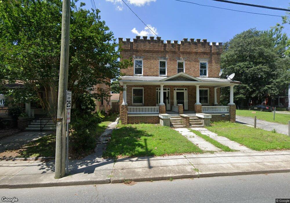
802 N Division St Unit 1 Salisbury, MD 21801
Newtown-North Division NeighborhoodEstimated Value: $258,000 - $403,000
Studio
2
Baths
1,710
Sq Ft
$188/Sq Ft
Est. Value
About This Home
This home is located at 802 N Division St Unit 1, Salisbury, MD 21801 and is currently estimated at $322,071, approximately $188 per square foot. 802 N Division St Unit 1 is a home located in Wicomico County with nearby schools including West Salisbury Elementary School, North Salisbury Elementary School, and Salisbury Middle School.
Ownership History
Date
Name
Owned For
Owner Type
Purchase Details
Closed on
Sep 17, 2007
Sold by
Ashley Patrick W
Bought by
Ashley Deniece R and Ashley Patrick W
Current Estimated Value
Purchase Details
Closed on
Aug 16, 2007
Sold by
Ashley Patrick W
Bought by
Ashley Deniece R and Ashley Patrick W
Purchase Details
Closed on
Mar 1, 1999
Sold by
Shirey William K and Shirey Brenda J
Bought by
Ashley Patrick W
Purchase Details
Closed on
Sep 26, 1977
Sold by
Abbott Clifford L and Abbott Hilda
Bought by
Shirey William K and Shirey Brenda J
Create a Home Valuation Report for This Property
The Home Valuation Report is an in-depth analysis detailing your home's value as well as a comparison with similar homes in the area
Home Values in the Area
Average Home Value in this Area
Purchase History
| Date | Buyer | Sale Price | Title Company |
|---|---|---|---|
| Ashley Deniece R | -- | -- | |
| Ashley Deniece R | -- | -- | |
| Ashley Patrick W | $72,000 | -- | |
| Shirey William K | $20,700 | -- |
Source: Public Records
Tax History
| Year | Tax Paid | Tax Assessment Tax Assessment Total Assessment is a certain percentage of the fair market value that is determined by local assessors to be the total taxable value of land and additions on the property. | Land | Improvement |
|---|---|---|---|---|
| 2025 | $2,157 | $236,100 | $0 | $0 |
| 2024 | $1,964 | $204,800 | $16,300 | $188,500 |
| 2023 | $1,856 | $187,767 | $0 | $0 |
| 2022 | $1,740 | $170,733 | $0 | $0 |
| 2021 | $1,571 | $153,700 | $16,300 | $137,400 |
| 2020 | $1,577 | $152,867 | $0 | $0 |
| 2019 | $1,591 | $152,033 | $0 | $0 |
| 2018 | $2,843 | $151,200 | $16,300 | $134,900 |
| 2017 | $2,495 | $136,767 | $0 | $0 |
| 2016 | -- | $122,333 | $0 | $0 |
| 2015 | $2,972 | $107,900 | $0 | $0 |
| 2014 | $2,972 | $107,900 | $0 | $0 |
Source: Public Records
Map
Nearby Homes
- 810 N Division St
- 611 Lakeside Dr
- 208 W Isabella St
- LOT D4 International Dr
- 411 Elizabeth St
- 410 Elizabeth St
- 309 Gay St
- 313 W London Ave
- 208 Union Ave
- 403 Rose St
- 1214 N Division St
- 322 Naylor St
- 711 E Church St
- 701 Lake St Unit 1
- 304 Poplar Hill Ave
- 309 Marshall St
- 902 Lake St
- 812 E Church St
- 201 Marshall St
- 1028 Delaware Ave
- 802 N Division St
- 802 1 N Division St
- 800 N Division St
- 806 N Division St
- 718 N Division St
- 102 W Philadelphia Ave
- 105 W Philadelphia Ave
- 801 N Division St Unit 1
- 801 N Division St
- 808 N Division St
- 104 W Philadelphia Ave
- 107 W Philadelphia Ave
- 716 N Division St
- 805 N Division St
- 715 N Division St
- 810 N Division St Unit A & B
- 102 New York Ave
- 108 W Philadelphia Ave
- 830 N Division St
- 109 W Philadelphia Ave
Your Personal Tour Guide
Ask me questions while you tour the home.