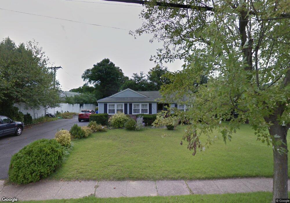
802 N Forklanding Rd Maple Shade, NJ 08052
Estimated Value: $347,000 - $360,000
Studio
--
Bath
1,488
Sq Ft
$237/Sq Ft
Est. Value
About This Home
This home is located at 802 N Forklanding Rd, Maple Shade, NJ 08052 and is currently estimated at $352,506, approximately $236 per square foot. 802 N Forklanding Rd is a home located in Burlington County with nearby schools including Ralph J Steinhauer Elementary School, Maude M. Wilkins Elementary School, and Howard R Yocum School.
Ownership History
Date
Name
Owned For
Owner Type
Purchase Details
Closed on
Apr 28, 2006
Sold by
Rosenwald Sharon
Bought by
Littleton Arlie and Littleton Barbara
Current Estimated Value
Home Financials for this Owner
Home Financials are based on the most recent Mortgage that was taken out on this home.
Original Mortgage
$235,000
Outstanding Balance
$136,102
Interest Rate
6.4%
Mortgage Type
VA
Estimated Equity
$216,404
Purchase Details
Closed on
Aug 14, 2003
Sold by
Rosenwald Sharon
Bought by
Rosenwald Sharon
Purchase Details
Closed on
Oct 29, 1999
Sold by
Cooley Edward J and Cooley Janet H
Bought by
Rosenwald Jay H and Rosenwald Mary E
Home Financials for this Owner
Home Financials are based on the most recent Mortgage that was taken out on this home.
Original Mortgage
$66,000
Interest Rate
7.38%
Create a Home Valuation Report for This Property
The Home Valuation Report is an in-depth analysis detailing your home's value as well as a comparison with similar homes in the area
Home Values in the Area
Average Home Value in this Area
Purchase History
| Date | Buyer | Sale Price | Title Company |
|---|---|---|---|
| Littleton Arlie | $235,000 | Weichert Title Agency | |
| Rosenwald Sharon | -- | -- | |
| Rosenwald Jay H | $119,900 | -- |
Source: Public Records
Mortgage History
| Date | Status | Borrower | Loan Amount |
|---|---|---|---|
| Open | Littleton Arlie | $235,000 | |
| Previous Owner | Rosenwald Jay H | $66,000 |
Source: Public Records
Tax History
| Year | Tax Paid | Tax Assessment Tax Assessment Total Assessment is a certain percentage of the fair market value that is determined by local assessors to be the total taxable value of land and additions on the property. | Land | Improvement |
|---|---|---|---|---|
| 2025 | $6,491 | $171,000 | $39,700 | $131,300 |
| 2024 | $6,303 | $171,000 | $39,700 | $131,300 |
| 2023 | $6,303 | $171,000 | $39,700 | $131,300 |
| 2022 | $6,206 | $171,000 | $39,700 | $131,300 |
| 2021 | $6,146 | $171,000 | $39,700 | $131,300 |
| 2020 | $6,163 | $171,000 | $39,700 | $131,300 |
| 2019 | $5,937 | $171,000 | $39,700 | $131,300 |
| 2018 | $5,835 | $171,000 | $39,700 | $131,300 |
| 2017 | $5,766 | $171,000 | $39,700 | $131,300 |
| 2016 | $5,681 | $171,000 | $39,700 | $131,300 |
| 2015 | $5,558 | $171,000 | $39,700 | $131,300 |
| 2014 | $5,388 | $171,000 | $39,700 | $131,300 |
Source: Public Records
Map
Nearby Homes
- 654 N Coles Ave
- 27 Indian Queen Ln
- 331 Collins Ln
- 2819 Haddonfield Rd
- 400 N Forklanding Rd
- 3444 New Jersey Ave
- 2905 Powell Ave
- 5 Exeter Place
- 63 Mecray Ln
- 8661 Wyndam Rd
- 728 Haverford Ave
- 20 Kohlmyer Dr
- 21 Kohlmyer Dr
- Ballad Plan at Villages at Moorestown
- Cadence Plan at Villages at Moorestown
- Odessa Plan at Villages at Moorestown
- 2 Kohlmyer Dr
- 207 E Park Ave
- 8539 Bryn Mawr Ave
- 411 A3 Stiles Ave Unit A-3
- 804 N Forklanding Rd
- 815 N Forklanding Rd
- 829 N Forklanding Rd
- 803 N Forklanding Rd
- 832 Forklanding Rd
- 832 S Fork Landing Rd
- 809 N Forklanding Rd
- 835 S Fork Landing Rd
- 838 S Fork Landing Rd
- 759 N Forklanding Rd
- 839 S Fork Landing Rd
- 20 High St
- 848 S Fork Landing Rd
- 25 High St
- 134 Park Ave
- 26 High St
- 833 S Fork Landing Rd
- 27 High St
- 136 Park Ave
- 755 N Forklanding Rd
Your Personal Tour Guide
Ask me questions while you tour the home.